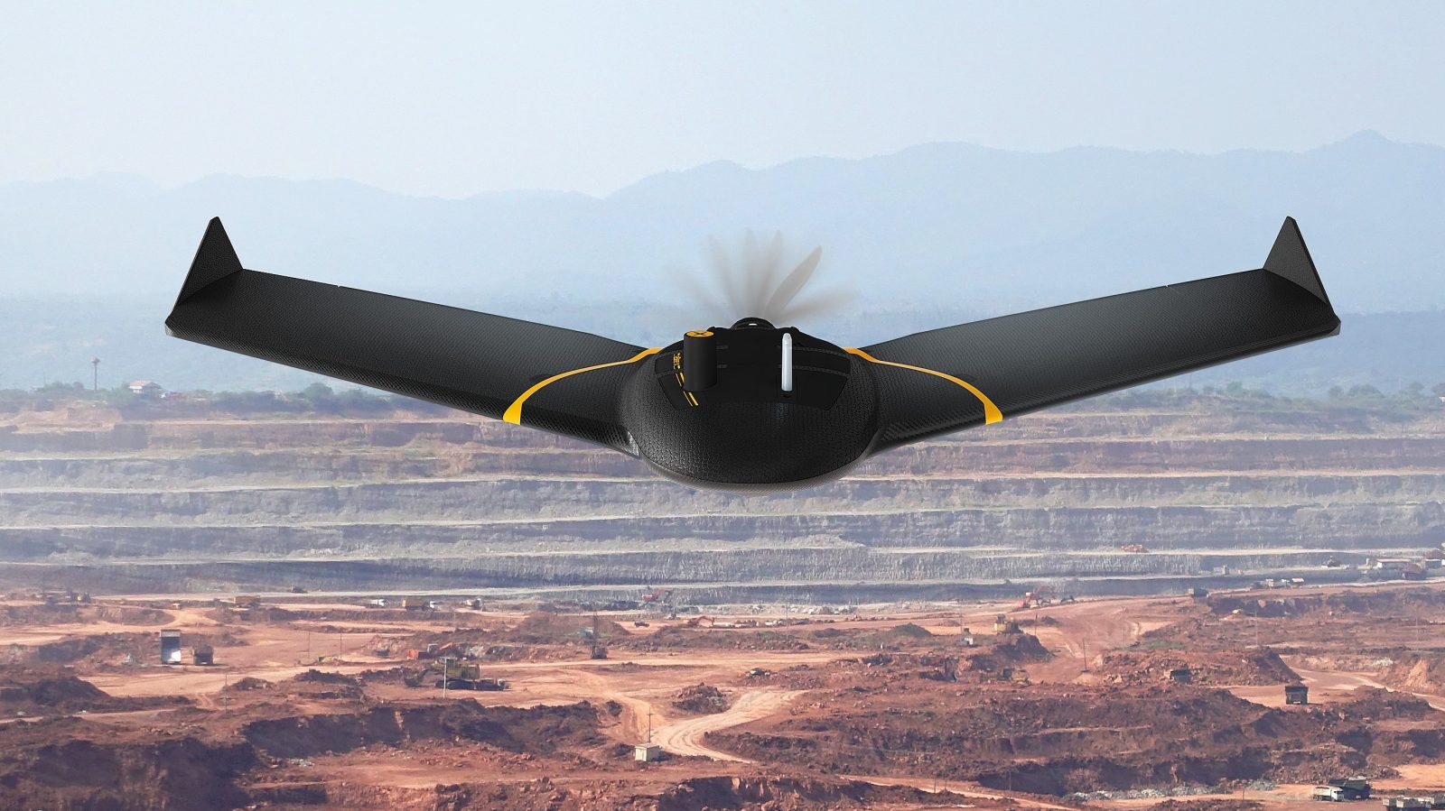
The process to seek approvals to fly over people and beyond visual line of sight (BVLOS) in 27 European Member states, Iceland, Liechtenstein, Norway, and Switzerland has become easier for pilots operating the senseFly eBee X fixed-wing mapping and surveying drone.
This is because the European Union Aviation Safety Agency (EASA) has just issued a Design Verification Report (DVR) establishing that the eBee X meets Ground Risk Class (GRC) M2 mitigation qualifications based on the Specific Operation Risk Assessment (SORA) methodology.
AgEagle, which acquired senseFly from Parrot last year, says that obtaining “High” or “Medium” robustness levels of the M2 mitigation would not require additional verification from EASA.
Barrett Mooney, AgEagle chairman and CEO, explains:
Regulatory constraints relating to limitations of BVLOS and Operations Over People (OOP) have continued to be a gating factor to the widespread adoption of commercial drone technologies across a wide range of industry sectors worldwide. Being the first company to receive this DVR from EASA for M2 mitigation is a historic milestone for AgEagle and our industry in the European Union and will be a key factor in fueling the growth of our customer base.
Adrian Marina, a land surveyor with SysCAD Solutions in Europe, is a part of the customer base Mooney mentions. Marina says:
We have a project involving capturing data related to quarry excavation volume measurements which will require multiple drone flights throughout the year. However, for this operation to take place, we will require SORA authorization to fly BVLOS and near a populated area. Now that the eBee X has received the EASA DVR affirming its safety profile, we can move forward with seeking regulatory clearances for this important project.
Armed with a flying time of up to 90 minutes, the eBee X can efficiently map up to 500 ha (1,235 ac) while flying at 120 meters (400 ft). Available RTK/PPK allows operators to collect data with an accuracy of up to 1.5 cm (0.6 in) without GCPs.
Read: Wingcopter to hire 80 new employees after raising $42M in funding
FTC: We use income earning auto affiliate links. More.


Comments