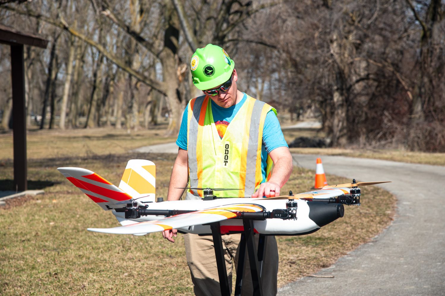
The Ohio Department of Transportation (ODOT) has gained approval from the Federal Aviation Administration (FAA) to fly a large drone over a portion of the US 33 corridor northwest of Columbus. A 20-pound drone will now fly beyond visual line of sight (BVLOS) to monitor traffic and assist with incident management.
ODOT officials are quick to point out that Censys Sentaero, which has a wingspan of 7.5 feet, is the first aircraft of its size to be approved for this type of operation. Also, the drone has been OK-ed for operations over people and traffic without a parachute, which has only happened once before in the US. That said, ODOT pilots will be focused on safety. And this is why officials will conduct test flights before making advanced drone operations a routine affair.
Though the exact dates for these test flights have not yet been determined, the drone will fly along four miles of US 33 between US 42 and Watkins Road during the trial period. Moreover, the on-board system to detect and avoid other aircraft with be supplemented with visual observers on the ground to keep eyes on the aircraft and bolster safety.
But in the long run, traffic surveillance drones deployed beyond the pilot’s line of sight can help to get real-time information more quickly, identifying congested areas, crashes, or hazards on the road.
Similarly, equipping drones with sensors to detect radiation or other chemical toxins can provide vital safety information to emergency responders. Drones can also provide real-time video during search and rescue missions to help rescue teams cover a larger area more quickly.
Also read: DJI responds to bill that aims to ban all its drones in US
“Drones can do a lot of things. Depending on the aircraft, they can be equipped with object detection and analytics, which form a critical piece in improving safety on the roadway,” says Rich Fox, who heads drone operations at ODOT. “This is only the beginning. We’re excited to test the potential benefits and leverage this special approval to continue integrating new drone technology into agency operations.”
The approval from the FAA is valid for four years. It will help facilitate the integration of live drone footage into ODOT’s traffic management center, which could provide greater situational awareness to crews on the ground and improve traffic management.
Read more: How Red Bull built a drone to catch F1 champ Max Verstappen
FTC: We use income earning auto affiliate links. More.


Comments