A trio of aviation partners is showcasing what they’re calling a breakthrough UAV application enabling full, thorough, automated drone dent inspection of an airplane in a single hour.
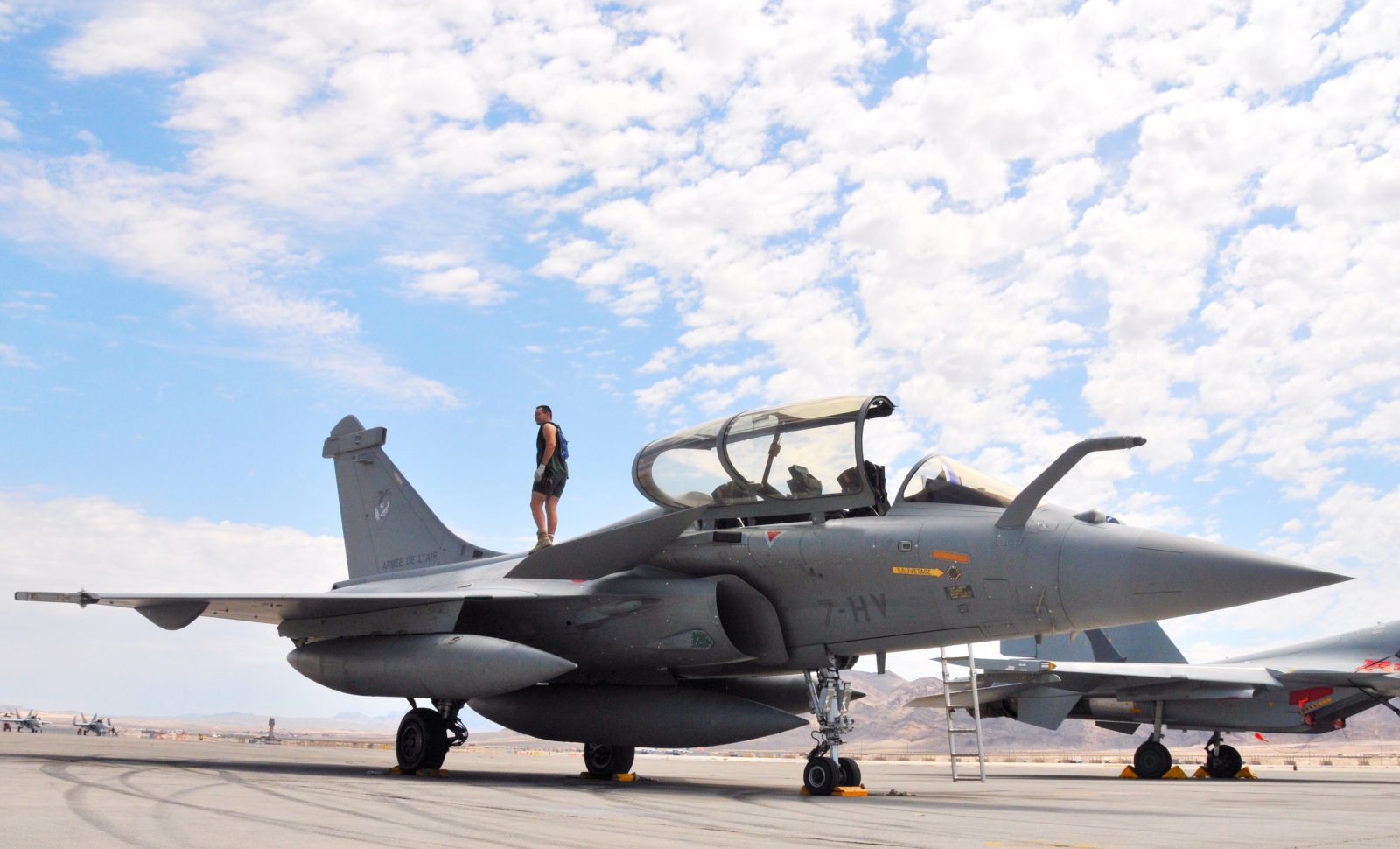
UAV manufacturer Donecle, 3D mapping specialist 8tree, and defense aviation company Dassault revealed their collaborative product as a potential game-changer in aircraft maintenance, repair, and overhaul (MRO) activity of military, passenger, and cargo planes. Dubbed dentCHECK, the 3D mapping technology was developed over an 18-month period by 8tree for mounting on Donecle drones, and use in automated dent inspections of Dassault Rafale fighter jets. The partnership received the backing of France’s state Agence de l’innovation de defence.
A series of recent tests at a French air force base hit the trio’s targets. In just 60 minutes, the UAV app had created a complete model of examined Rafale jets with a depression accuracy of 0.1mm depth and 2mm width. The partners say the same approach can be applied to aircraft of all sizes and uses – though mapping time will increase with surfaces scanned – offering the same degree of precision and safety verification. Donecle and 8tree will each be featuring their dentCHECK innovation at the MRO Europe exhibition in Amsterdam this week.
“The 100% automated flying dentCHECK drastically reduces the time taken to inspect an aircraft while improving the quality of maintenance operations significantly, says 8tree CTO Erik Klaas. “It’s all about automating non-destructive testing tasks and procedures.”
The main goal behind dentCHECK’s development was allowing a drone to efficiently and quickly inspect 100% of an aircraft’s body for dents using light scanners to provide consistent results in all conditions. Use of a 3D scanner and associated software to identify and measure dents, impacts, misalignments, and other damage was another objective.
That, the partners say, allowed for automated drone inspections to acquire high-quality data by improving automated navigation tech with advanced stability algorithms. Imaginative management of the onboard 3D sensor, meanwhile, to permit the system to adapt to varying factors such as lighting, surface color, and scanned materials. The maps created from those surveys are then automatically compared with models of identical, pristine aircraft.
All acquired data in those drone inspections of aircraft – including scans, localization information, and dent measurement readings – are saved in a digital database. That history will help track the chronology of dent accumulation and structural evolution of planes, which will in turn facilitate operators’ MRO scheduling, and thereby improve aircraft availability and safety.
FTC: We use income earning auto affiliate links. More.


Comments