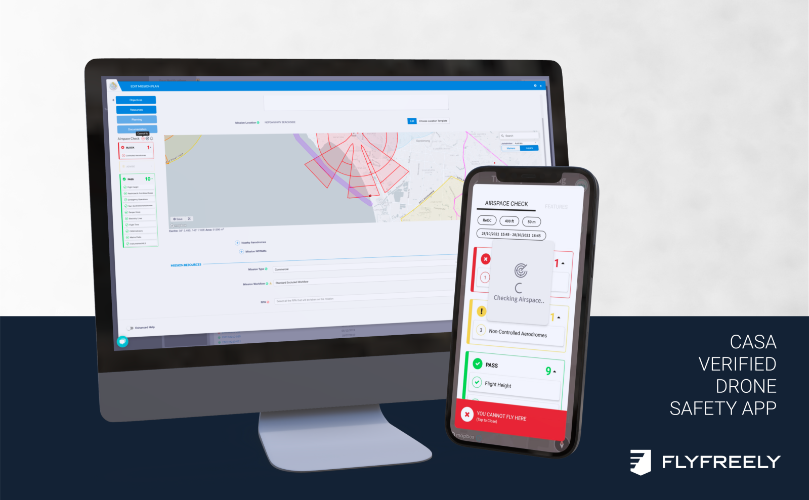
Seeking to turn back an increasing number of restricted airspace violations by drones, Australia’s civil aviation administration has more than doubled the number of UAV safety apps it has authorized to inform pilots about no-fly zones around them.
Australia’s Civil Aviation and Safety Authority (CASA) said on Wednesday it was adding five new apps to its stable of approved partners offering drone pilots real-time information about restricted airspace around them, or in areas they are planning to visit. That enlargement brings the total number of CASA-approved third-party navigation service providers to eight. It comes amid rising reports of UAV flights in banned areas in some parts of the country, notably the eastern city of Gold Coast – a popular tourist destination featuring several favorite vacation and droning spots relatively close to the airport.
But in addition to giving pilots a greater number of apps to chose from, officials from one of the newly authorized companies, FlyFreely, says the new options will also prove faster and easier for operators to use.
“Previously they had to check multiple different data sources,” says FlyFreely founder David Cole. “Our software contains all of the features needed to plan, approve, execute and reconcile operations. Our customers can now plan their missions and operate with the confidence they aren’t going to run into any compliance issues.”
The broadened number of authorization products, meanwhile, should also give users greater range in desktop or smartphone preparation, depending on their flight missions and location.
“The apps help both and commercial and recreational drone flyers stay safe,” comments Sharon Marshall-Keeffe, CASA’s acting Remotely Piloted Aircraft Systems branch manager. “Commercial operators will find the apps useful for planning, getting an airspace authorization near a controlled aerodrome, and conducting and recording their operations.”
The approval of the five new app partners was a long time in coming; Cole says FlyFreely has been working with CASA on validation since the beginning of the year. But with reports of drone violations of restricted airspace on the uptick – and with Australia’s approaching summer likely to increase the number of UAVs aloft – timing of the announcement may not be entirely coincidental.
“With Australians flying drones in record numbers, these apps play an essential role assisting people to fly within the rules,” says Marshall-Keeffe. “They clearly define the location of restricted airspace, major obstacles, airports and danger areas.”
All five of the newly authorized apps – Aerologix, Airassess, AVCRM, Flyanra, and FlyFreely – are available on CASA’s educational Know Your Drone site.
FTC: We use income earning auto affiliate links. More.


Comments