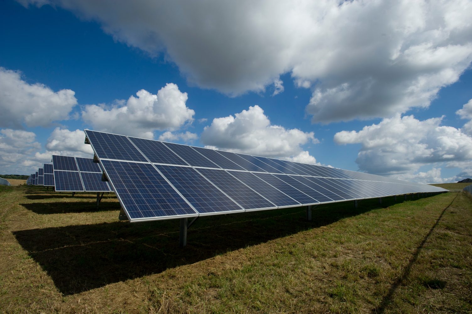
Santa Monica-based aerial imaging and data processing specialist DroneBase is strengthening its services to solar energy clients with piloted airplane surveys to provide annual audits of infrastructure supplementing the company’s routine drone inspections.
DroneBase operates on an innovative structure serving a range of enterprise clients in collaboration with enthusiastic drone pilots across the globe that it trains, certifies, and works with in surveying missions. In the case of solar energy customers, the company is now also offering to take its drone infrastructure analyses a step further with piloted aircraft scans to provide consummate thermal imaging inspections of large-scale facilities.
That additional aerial coverage will come under DroneBase’s North American Solar Scan (NASS) program, which is scheduled to begin later this year. Under that offer, the company will provide eligible solar clients piloted overflights of larger installations to take complete thermal imaging surveys. Those will occur in spring and autumn, coinciding with habitually peak activity periods for solar energy businesses.
“Our North American Solar Scan makes it simple to get an annual health check on solar energy systems,” said Mark Culpepper, DroneBase’s general manager of global solar solutions, which is overseeing NASS operations that commence in a few months. “One click and your utility-scale solar energy system or entire distributed portfolio can be scanned as part of our spring NASS flight route.”
DroneBase says the NASS offer will cover all major US solar markets including California, Nevada, Colorado, Texas, Florida, North Carolina, South Carolina, Illinois, and Massachusetts, as well as key Canadian provinces like Ontario. The company says use of piloted aircraft flights will further broaden the range of data collected, and provide complete sets in combination with the regular drone missions it operates over solar power infrastructure.
Thermal inspections by drones are particularly effective for systems in urban or emerging markets and for spot inspections, the company says. Surveys by piloted flights are used most often for utility-scale systems or large distributed assets.
“Both the number and size of solar energy systems are growing exponentially,” said Dan Burton, CEO of DroneBase. “It’s not enough to deploy a system and hope it will generate as much clean energy as possible. These systems must be inspected annually. But doing that once or twice a year can be a significant operational burden for owners and operators. We continually invest in automation, AI, and machine learning so that our clients can focus on what matters most – growing their portfolio and delivering as much clean energy as possible.”
DroneBase also provides intelligent aerial imaging services to insurers, owners, and operators of high-value infrastructure, as well as clients in construction, commercial real estate, property management, and solar and wind energy companies. To do so, the company recruits, trains, and employs thousands of drone pilots across the globe to gather data and facilitate audits to increase the efficiency of inspected facilities.
Photo: America Public Power Association
FTC: We use income earning auto affiliate links. More.


Comments