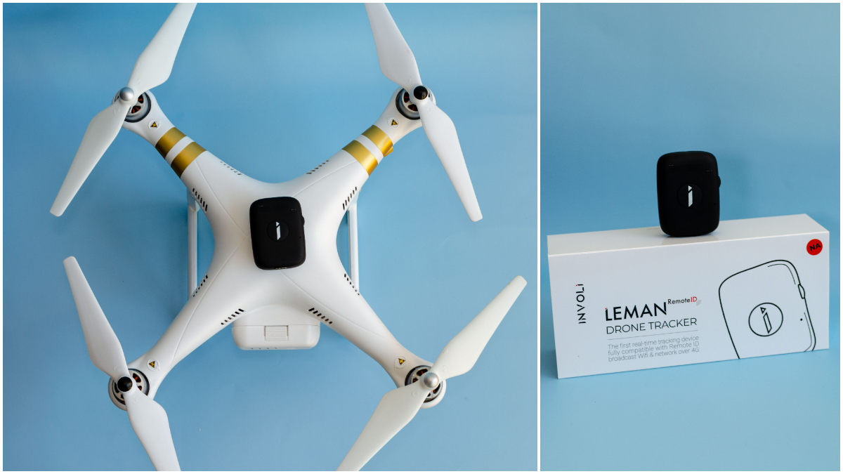
Switzerland-based INVOLI has announced the availability of a new 4G drone tracking device, LEMAN RemoteID. Compatible with Remote ID requirements set by aviation authorities in both the United States and Europe, the INVOLI drone tracker comes with its own GPS and battery to broadcast drone information directly over a Wi-Fi frequency (Remote ID Broadcast) or a 4G network (Network Remote ID).
Add-on drone accessory for Remote ID compliance
One of the ways drone pilots can fly safely and meet the identification requirements of the new Remote ID rule is through a broadcast module. Attached as an add-on device – especially to homebuilt drones and aircraft that doesn’t have in-built Remote ID capabilities – this tracking device broadcasts a signal to authorized officials. This signal allows competent authorities to see your drone’s registration number, current location and altitude, speed, takeoff location and elevation, and time mark.
Also read: Massive video leak reveals four major DJI Mini 3 drone features
Insisting that installing the Leman RemoteID tracking device would make older drones compliant with new regulations at the push of a button, Manu Lubrano, CEO of INVOLI, says:
It is a great challenge to transform regulatory requirements into a technical product, but we want this burden to be on our company instead of being on drone operators. I strongly believe that drone operators should focus on their operation and their core business, and the regulatory part should be handled as easy and elegantly as fastening your seatbelt in your car.
Weighing only 47 grams, the INVOLI device comes with an IP67 rating. Once configured and equipped with a SIM Card, it will start transmitting its position to the INVOLI Server. Once on a drone, it is possible to use it to monitor the drone position on the INVOLI.live display platform, or to integrate its data stream in third-party software, such as a UTM or a drone ground control software, using the INVOLI API and Stream services.
The company says its tracker can operate for more than four hours with a single battery charge, refreshing the information it is broadcasting every second.
In addition to individual pilots and organizations looking to monitor drone fleets, Lubrano foresees demand from telecommunication companies looking to evaluate the connectivity of their 4G infrastructure in the sky. Since the tracker also provides geo-localized connectivity information (Cell ID, RSRP, SINR, and Band), telcos can use it to create a chart of the connectivity quality in the sky and compare the performance with every use.
Read more: How the new DJI M30 drone helped save a life even before launch
FTC: We use income earning auto affiliate links. More.


Comments