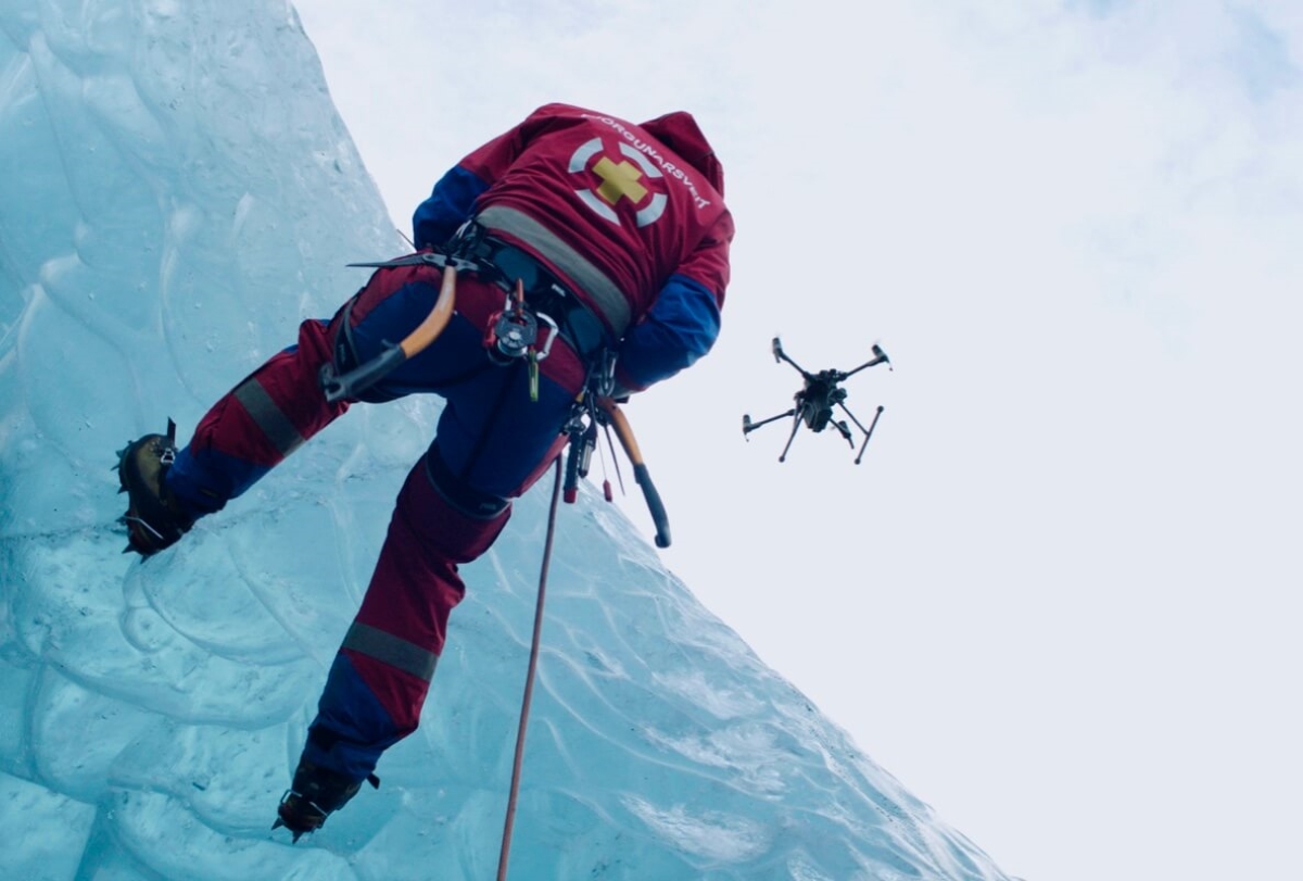
Drones can be incredibly effective at finding missing persons since they can scan a large area quickly. But did you know there are several variables that can impact a drone’s ability during a search and rescue (SAR) mission?
One of these variables is the altitude at which the drone is flying. Sending the drone up too high could mean that the missing person is less than a pixel on your screen, and therefore impossible to detect even if you’re looking directly at them. Other factors include the gimbal’s position (slanted or top-down) and whether the missing person is expected to be standing up, walking, or lying down.
Related: Police: Without drone, locating Colorado senior would’ve been ‘nearly impossible’
For someone new to using drones in SAR missions, knowing how to leverage these different variables to get the best outcome may not be obvious. But after six years of extensive research into missing person searches, public safety company SkyBound Rescuer can let you know the optimal drone flying height as soon as you answer three simple questions.
SkyBound Rescuer has now partnered with drone giant DJI to launch the Drone SAR Altitude Guide. It’s a short online survey that can empower police and first responders to better locate missing persons.
Complete the survey as part of pre-flight checks, and you will be shown sample images from both visual and thermal cameras. This would allow you to “calibrate” your eyes on what a missing person would look like on your screen at the selected altitude, camera gimbal angle, and the likely body position.
According to DJI, the Drone SAR Altitude Guide will also generate guidance based on the survey answers, to advise the drone pilot on whether the selected parameters are optimal or not.
As Gemma Alcock, founder and CEO of SkyBound Rescuer, explains:
We know that time is a critical factor in SAR operations, so complex decisions need to be made quickly but accurately. Our research has shown that altitude is one important reference point that, once optimized to be more accurate, will have a massively positive impact on SAR success stories. Everyone on the SkyBound Rescuer and DJI teams who have been working on this altitude guide is excited for police and SAR drone pilots to start using it and saving thousands more lives.
You can access the guide here.
Read: How DJI M30 drone helped save a life even before it was launched
FTC: We use income earning auto affiliate links. More.


Comments