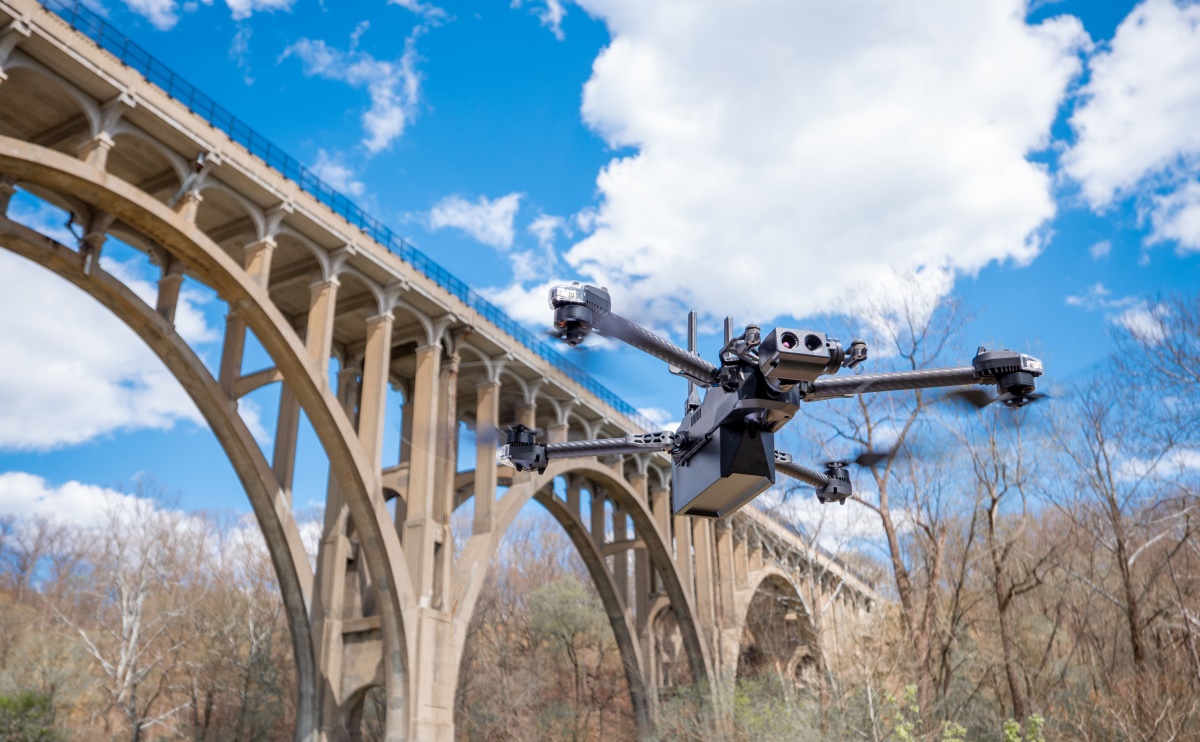
Alaska Department of Transportation & Public Facilities (DOT&PF) is launching a new drone program, ARROW, that would benefit 10 remote communities during emergencies.
The Alaska Rural Remote Operations Work Plan (ARROW) will enable remote communities to conduct beyond visual line of sight (BVLOS) missions using Skydio drones. The drone data will then be made available to a shared statewide geographic information system (GIS) and used in response to natural and man-made disasters affecting historically underserved communities.
This initiative is important because, in Alaska, many remote communities are vulnerable to natural disasters like earthquakes, wildfires, floods, and extreme weather events. And up-to-date geographic data ensures that first responders are better prepared for emergencies.
As Governor Mike Dunleavy puts it:
Drone technology will ensure that emergency responders are dispatched quickly to protect critical infrastructure and potentially save lives following a disaster in rural Alaska.
Read: New A2Z Pelican delivery drone can fly 25 miles with 11 lbs
Alaska DOT&PF explains that the ARROW drone program is made possible through a US Department of Transportation (USDOT) Strengthening Mobility and Revolutionizing Transportation (SMART) competitive grant program that funds projects using technology interventions to solve real-world challenges facing communities today.
ARROW further leverages a strategic partnership between the Federal Aviation Administration’s BEYOND Program and Alaska Center for UAS Integration (ACUASI) to enable BVLOS drone flights for critical infrastructure inspection.
Adam Bry, CEO of Skydio, says:
We have consistently seen the positive impact drone technology can have on public safety and critical infrastructure resilience, especially in remote, hard-to-reach areas.
Read: Skydio making subject tracking even better with drone software update
FTC: We use income earning auto affiliate links. More.


Comments