Geospatial marketplace UP42 and on-demand drone data platform GLOBHE are joining forces to make high-quality drone data available through UP42. The partnership targets customers engaged in crop monitoring and management, livestock monitoring, precision farming, environmental conservation, wildlife conservation, forestry, and disaster response.
Sweden-based GLOBHE leverages a network of 9,500+ professional drone pilots in 142 countries to collect desired data. UP42, meanwhile, offers access to multiple streams of open and commercial earth observation resources, including satellite, aerial, elevation, and weather data.
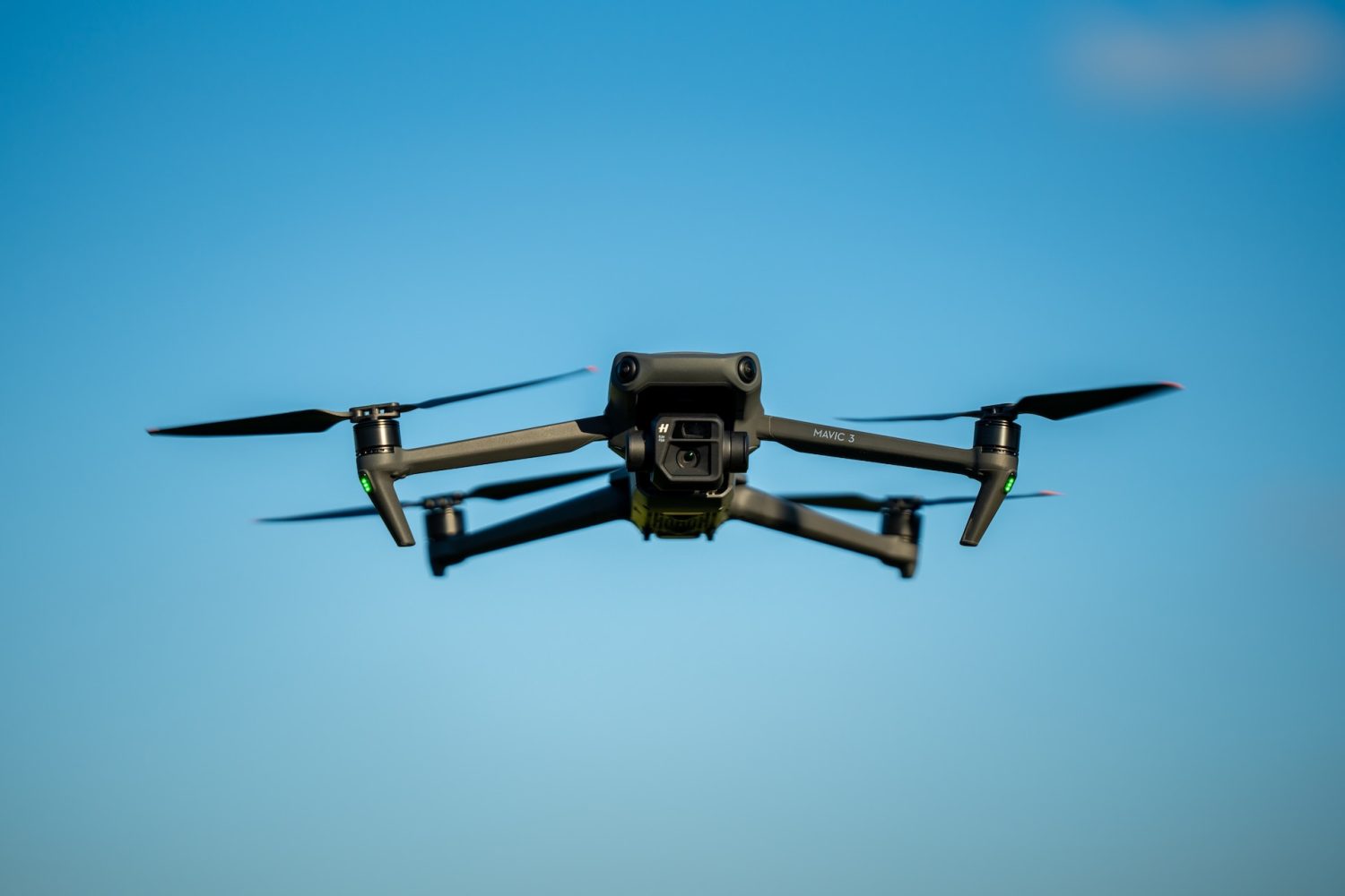
Sean Wiid, CEO of UP42, is quick to stress that drone data is a complementary remote-sensing tool for satellites, airplanes, or helicopters. Besides being environmentally friendly and safer than traditional aerial platforms, drones are also more affordable and efficient than their counterparts. In some cases, their digital elevation models (DEM) can deliver up to 10-20 cm resolution (vs 5-30 m satellite resolution), guaranteeing better preservation of terrain features and a more realistic representation of the environment.
Users will now be able to access the following services through the UP42 marketplace:
- Archive: Access to GLOBHE’s vast library of drone data from over 100 countries.
- Tasking: Requests on one or multiple locations will be matched against professional drone operators authorized and licensed to collect the data. Advanced features include order tracking, automated delivery, a wide range of sensor types, and support for complex and multi-geometry areas of interest.
Helena Samsioe, CEO and founder of GLOBHE, says that all data will be made available in UP42’s STAC-compatible (SpatioTemporal Asset Catalog) data management solution. As such, customers will benefit from a simplified data search and management for easier processing and integration.
Read more: New Insta360 AI camera leaks ahead of launch event
FTC: We use income earning auto affiliate links. More.


Comments