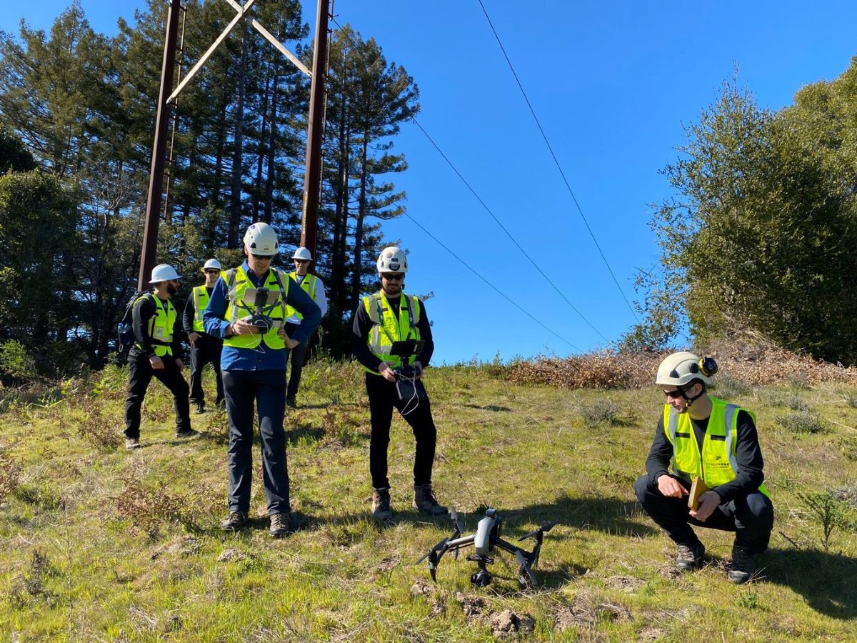
Drone inspection specialist Cyberhawk has introduced AVIATE, a new service aimed at helping organizations kickstart or expand their drone programs. AVIATE stands for Accelerated Visual Integration and Technology Enabler and brings together Cyberhawk’s decade-long expertise in drone inspections to support companies in adopting drone technology.
The service is designed for industries like utilities, where drone inspections are used to survey and manage assets. AVIATE offers practical tools and guidance to make launching or scaling a drone program easier and more efficient.
A key feature of AVIATE is Shot Sheet Recommendations, which gives companies detailed advice on how to collect the best images of their assets. The shot sheet outlines the number of photos to take, the best angles, and other key factors to ensure all important asset details are captured.
Another important part of the program is the Recommended Inspection Standards, which helps businesses align their drone inspections with existing asset management processes. This includes standardizing how defects are graded and how assets are categorized.
AVIATE also offers Equipment Evaluation and Recommendations, helping organizations choose the right drones and accessories for their needs. Cyberhawk even provides guidance on how to maintain and service the equipment to keep it running smoothly.
Matt Zafuto, Cyberhawk’s chief commercial officer, explains the motivation behind AVIATE: “Many organizations struggle with how to start or expand their drone programs. AVIATE simplifies the process and helps them get the most out of drone technology and visual data management.”
As part of AVIATE, Cyberhawk is also offering a trial license for its visual data management software, iHawk. This allows organizations to try out drone inspections on their own assets and see how they can fit into their overall business strategy.
Cyberhawk recently received an important waiver from the Federal Aviation Administration (FAA), allowing the company to conduct drone operations across the US without the constraints of maintaining visual contact with the aircraft.
Read more: Teledyne FLIR SIRAS drones now compatible with AirData
FTC: We use income earning auto affiliate links. More.


Comments