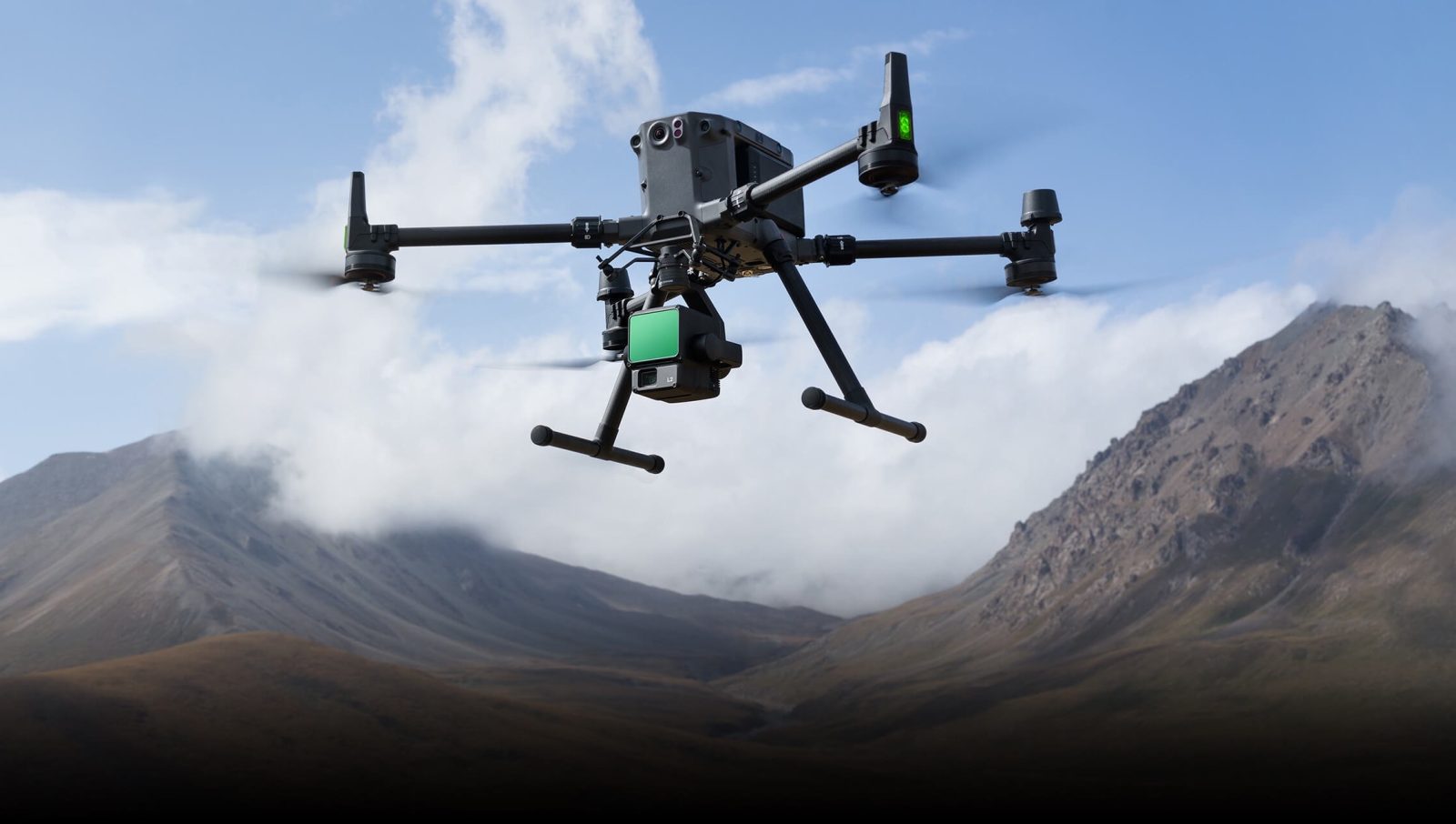
Tech giant DJI has released an important firmware update for its flagship drone mapping and surveying tool, the Zenmuse L2 payload. Firmware v04.00.1001 packs in several user-centric improvements.
This update targets the aerial camera’s precision and reliability, addressing some pesky glitches that professionals in drone mapping have been facing. One of the biggest fixes improves LiDAR mapping tasks with RGB Coloring. Previously, the estimated image quantity often fell short during such operations — a critical issue for surveyors relying on consistent data. The new Zenmuse L2 firmware ensures better alignment between estimates and actual image captures.
Another standout improvement is the elimination of freezing issues in live video and point cloud transmissions. This fix ensures smoother real-time data monitoring, which is crucial during high-stakes operations like infrastructure inspections or emergency mapping. DJI has also resolved malfunctions that occurred when users repeatedly entered and exited the playback mode in quick succession, ensuring uninterrupted workflow.
Updating the firmware is simple: you can use a microSD card or the “Update All” feature within the DJI Pilot 2 app. But don’t forget that for optimal performance, you’ll need compatible updates across the board. This includes the DJI M350 RTK (v10.01.0805), M300 RTK (v60.01.0806), DJI RC Plus remote controller (v05.02.1301), and the Pilot 2 app (v10.1.8.17).
The Zenmuse L2, known for its cutting-edge LiDAR and RGB sensor combo, has been a favorite for professionals in topographic surveys and precision agriculture. For those who rely on the payload for critical missions, this update is a must. It ensures smoother operations, more accurate data, and fewer interruptions, keeping your aerial mapping tasks on point.
Read more: Mysterious drones over New Jersey: What’s really happening?
FTC: We use income earning auto affiliate links. More.


Comments