In recent months, US residents have expressed increasing curiosity about drones buzzing in their skies. Reports of mysterious drones have surfaced in states like New Jersey, with many residents concerned about their purpose and origins even as authorities assure the reported sightings do not pose any “national security or public safety threat or have a foreign nexus.”
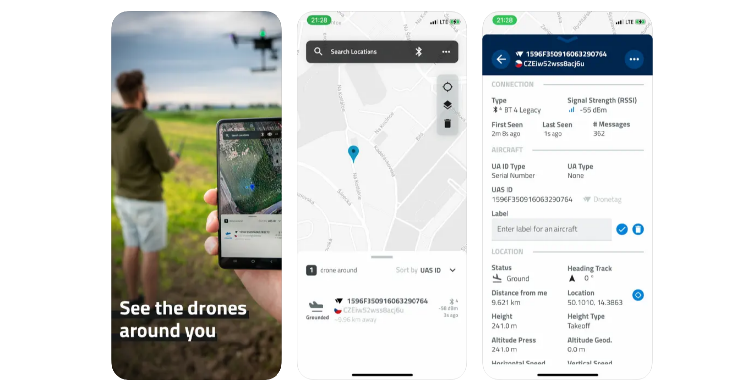
To address such curiosities, Prague-based startup Dronetag has developed a free mobile app called Drone Scanner that enables users to identify nearby drones broadcasting Remote ID data. Available on both iOS and Android, this app turns any smartphone or tablet into a drone tracker.
How this drone tracking app works
Using Bluetooth and Wi-Fi protocols, Drone Scanner extracts live data transmitted by drones compliant with FAA Remote ID rules. This data includes a drone’s altitude, location, pilot identification, and operation details. Users can view a real-time map, track flight histories, and even export the collected data.
Most drones in the US are legally required to broadcast such details, thanks to regulations aimed at improving airspace accountability. Dronetag also offers hardware solutions to help operators comply with these requirements.
More: Retiree shoots down drone, faces legal fallout and $5,000 fine
It’s important to note here though the drone tracking app’s utility for iOS devices might be limited because Apple prohibits app access to Wi-Fi. Meaning, only Bluetooth data transmission will work, and that too if the drone has an active Remote ID over Bluetooth.
While the app promises greater transparency in the skies, concerns remain about potential misuse of sensitive pilot information, such as their location. Addressing these worries, Dronetag CEO Lukáš Brchl emphasizes that the app’s code is fully open source, allowing public scrutiny and collaborative development to ensure data integrity and safety.
As drone usage continues to expand — from recreational flights to deliveries and inspections — tools like Drone Scanner could help demystify aerial activity for the public.
You can download Drone Scanner for iOS here and for Android here.
Read more: New DJI Air 3S firmware enhances drone performance
FTC: We use income earning auto affiliate links. More.


Comments