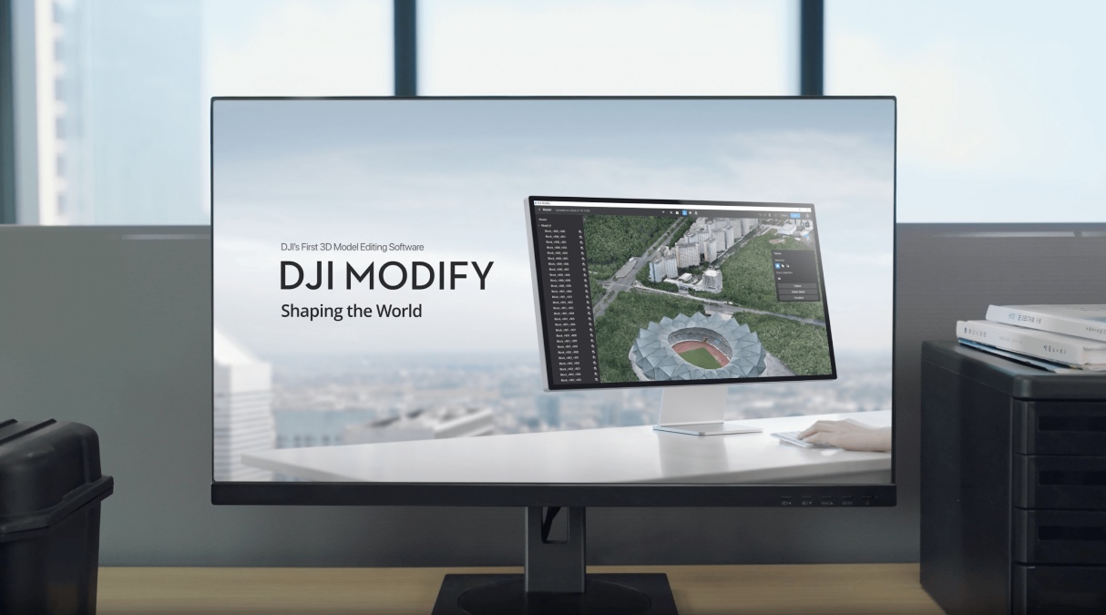
Tech giant DJI has just dropped a major update for Modify, the company’s AI-powered 3D modeling and point cloud editing software. Designed for professionals in surveying, mapping, and construction, Modify helps users clean, classify, and refine 3D models with ease. With the release of version 1.3.0, DJI has packed in new automation features, smarter selection tools, and better visualization options — making it easier than ever to transform raw point cloud data into polished 3D models.
A leap forward in Point Cloud processing
One of the standout advancements in v1.3.0 is the enhanced support for automatic point cloud processing. Users can now benefit from features such as smoothing, noise reduction, and downsampling, which collectively contribute to the creation of cleaner and more accurate 3D models. These improvements not only save valuable time but also reduce the manual effort traditionally required in post-processing.
Taking automation a step further, DJI Modify now boasts automatic point cloud classification capabilities. The software intelligently identifies and extracts various elements from the point cloud, including ground surfaces, vegetation, buildings, power lines, transmission towers, dynamic objects, and vehicles. This granular classification empowers users to analyze and manipulate specific components of their models with unprecedented precision.
New: Security risks found in popular Holy Stone drone models
Enhanced selection tools for precision editing
To facilitate more accurate point cloud selection, v1.3.0 introduces recognition types for vertical surfaces, roofs, power lines, and poles during intelligent selection. Users can adjust tolerance levels to fine-tune their selections, ensuring that edits are both precise and efficient. Additionally, new tools such as point cloud color selection, brush selection, and single selection have been added, providing a versatile toolkit for model refinement.
Advanced 3D display functions and other enhancements
Visualization receives a significant boost with the addition of 3D display functions for point mesh, contour lines, and TIN (Triangulated Irregular Network) terrain outputs. These features offer users a more comprehensive view of their models, aiding in better analysis and decision-making throughout the editing process.
Understanding the importance of personalization, DJI Modify now supports customization of point cloud classification colors. This allows users to tailor the visual representation of different elements to their preferences or project requirements. Furthermore, the software now displays point cloud coordinates when the mouse hovers over a point, providing immediate spatial information that enhances the editing experience.
In addition, acknowledging the iterative nature of model editing, the undo limit for point cloud model editing has been increased to 50 actions. This expansion grants users greater flexibility and confidence to experiment with changes, knowing they can easily revert to previous states if necessary.
See the complete release notes here.
More: DJI Flip drone gets performance tune-up with new firmware update
FTC: We use income earning auto affiliate links. More.


Comments