Drones are becoming a bigger part of everyday operations, from infrastructure inspections to emergency response. But as their numbers grow, so does the challenge of keeping sensitive airspace secure. Now, the Michigan State Capitol is taking a major step to tackle that issue.
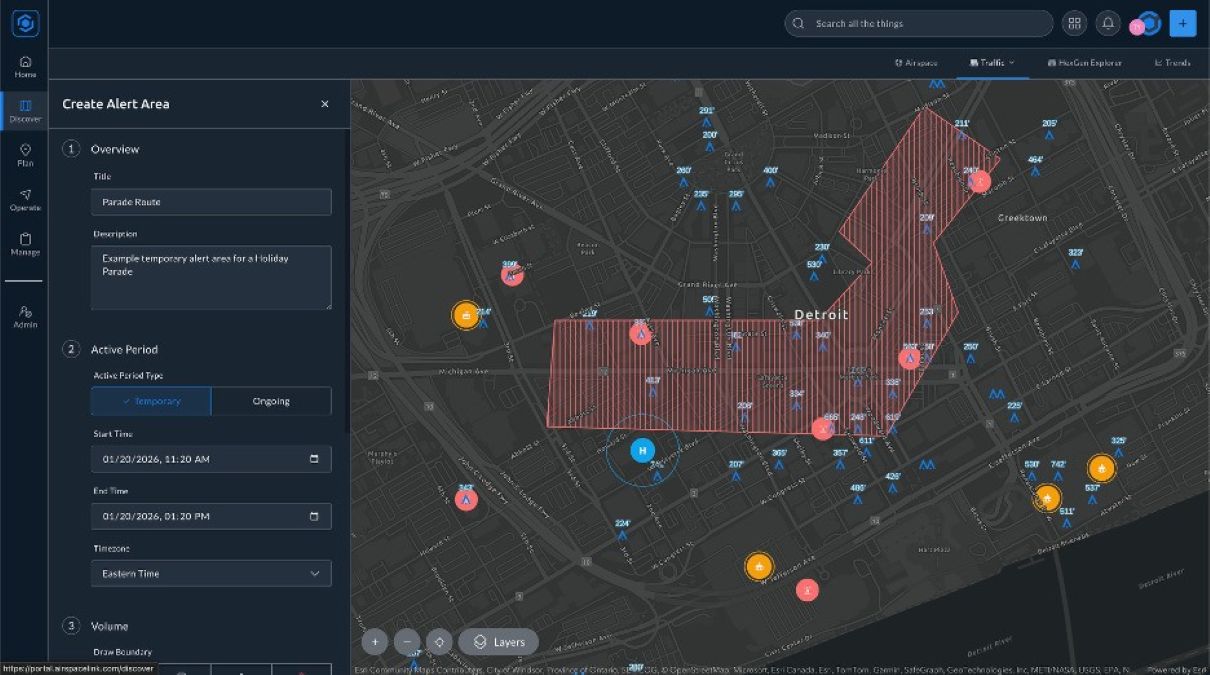
Officials in Lansing have deployed the AirHub Portal Drone Operations Management System (DOMS) from Detroit-based company Airspace Link, creating a real-time monitoring and management system for the airspace surrounding the Capitol complex. The platform gives security teams a unified view of all aircraft activity overhead, including drones and traditional aircraft, helping authorities quickly determine whether a flight is authorized or potentially a threat.
At the core of the system is what experts call a “common operating picture.” In simple terms, that means multiple agencies can see the same airspace data at the same time. The platform integrates information from technologies such as Remote ID and ADS-B sensors, allowing officials to track aircraft activity in real time. Capitol security teams can also set automated alerts for drones entering the area and quickly coordinate responses with partner agencies.
For a high-profile government building like the Michigan State Capitol, that level of visibility is essential.
“Protecting the airspace over the Michigan State Capitol is not optional,” says Robert Blackshaw, executive director of the Michigan State Capitol Commission. “AirHub gives our security team and law enforcement partners a shared view of everything happening in the airspace around the Capitol complex.”
The Capitol first tested the system during a proof-of-concept trial in late 2025. After the pilot program proved successful, officials moved forward with a full deployment in February 2026.
New: DJI fixes ROMO security bug that exposed thousands of homes
The technology isn’t just about spotting potential threats. Michigan officials are also expanding their internal drone program to carry out infrastructure inspections around the Capitol complex.
Those flights will now be managed through the same AirHub platform used for security monitoring, making it easier to coordinate authorized drone missions while maintaining situational awareness.
One of the reasons the Capitol selected AirHub is its vendor-agnostic design. The platform can combine data from many different sensor types — RF detection, radar, optical cameras, Remote ID receivers, and more — into a single dashboard. That flexibility means agencies don’t have to commit to one hardware provider. Instead, they can deploy the sensors that best fit their environment while still operating through a unified control system. For security teams managing complex environments, that “single pane of glass” approach can dramatically simplify operations.
Another key requirement for the Capitol was the ability to support multi-agency coordination. Airspace incidents around the Capitol may involve several organizations, including Michigan Capitol Police, Michigan State Police, and the Lansing Police Department. AirHub allows these groups to access the same airspace picture and coordinate responses in real time.
According to Airspace Link CEO Michael Healander, that kind of collaboration is becoming increasingly important as drone activity grows nationwide.
The deployment also reflects a broader trend across the United States. Federal and state agencies are ramping up investments in counter-drone technology and airspace monitoring, particularly as the country prepares for large-scale events such as the 2026 FIFA World Cup, which will be hosted across multiple US cities. Government buildings, stadiums, and other critical infrastructure are increasingly looking for systems that not only detect drones but also manage the entire operational environment.
More: Drone forensics enters AI investigation era
FTC: We use income earning auto affiliate links. More.


Comments