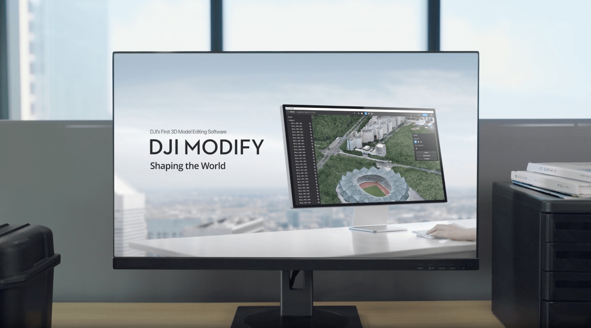
DJI has rolled out a new update to DJI Modify, introducing workflow improvements that aim to make large-scale 3D models easier to process, edit, and share.
The newly released version 1.6.0 update adds a suite of features aimed squarely at professionals working with 3D meshes and point clouds — think surveyors, construction teams, public safety agencies, and infrastructure inspectors who rely on drone-captured data.
At its core, Modify is designed to refine and optimize outputs generated by tools like DJI Terra, and this update pushes that mission further by improving both usability and performance.
One of the headline additions is the ability to switch between perspective and orthographic views in 3D mesh models. That might sound minor, but it’s a big deal for professionals who need precise, distortion-free measurements when analyzing structures or terrain. Orthographic projection removes perspective bias, making it easier to extract accurate spatial data.
Another key upgrade focuses on performance. Users can now reduce triangle counts and texture sizes to specific ratios, significantly shrinking file sizes. This is especially useful when sharing models across teams or importing them into third-party platforms where heavy files can slow things down. In practical terms, it means faster load times and smoother collaboration.
DJI has also introduced new tools for customizing outputs. Users can draw cubes directly within 3D models and export orthophotos from custom planes, giving them more control over how data is visualized and presented. Meanwhile, support for block merging across formats like PLY, OBJ, and FBX makes it easier to consolidate complex models into unified datasets.
On the point cloud side, the update brings equally meaningful improvements. Users can now merge multiple point clouds into a single file, switch between metric and imperial units, and import/export LAZ files — a widely used compressed format in geospatial workflows. There’s also better visibility for measurement markers and a new option to invert point cloud selections, making editing workflows more intuitive.
Performance optimizations round out the update. DJI says it has improved the efficiency of mesh flattening, deletion, and texture editing, along with better coordinate system visualization. These tweaks may not grab headlines, but they can save users significant time when working on large, complex datasets.
The update also fixes a notable bug that caused rendering cracks when importing models reconstructed in Terra — an issue tied to missing coordinate system data. Addressing this should improve reliability for users moving between DJI’s software tools.
While DJI is still best known for its drones, updates like this highlight a broader strategy: building an end-to-end ecosystem that doesn’t stop at data capture. With Modify becoming more capable, DJI is strengthening its position in the growing market for drone-based mapping, modeling, and digital twin creation.
More: US clears counter-drone laser system for southern border use
FTC: We use income earning auto affiliate links. More.


Comments