If you’ve ever arrived at a flying location only to discover another drone pilot already operating in the same area, a new feature from The Drone Map aims to make those surprises much less common.
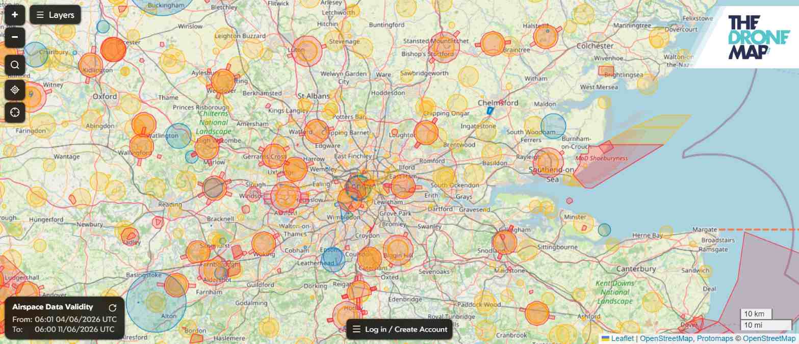
TheDroneMap.com, the free UK drone airspace and hazard mapping platform backed by FPV UK, has launched Flight Reports, a new tool that allows drone operators to publicly share planned flights with other users before takeoff. The idea is simple: improve situational awareness and help pilots coordinate activities in increasingly busy airspace.
Users can now create a Flight Report directly on the map by long-pressing or right-clicking on a location. They can then draw either a circular or custom-shaped flying area, add details about the operation, specify the maximum flight altitude, and publish the report for others to see. Planned flights appear as blue shapes on the map, making them easy to spot.
Perhaps most importantly, the feature includes a secure contact mechanism. If two operators discover they intend to fly in the same place at the same time, they can communicate through the platform without sharing personal contact details.
The launch addresses a common challenge facing recreational and professional drone operators alike. While UK drone pilots already have access to airspace restrictions, hazard information, and regulatory guidance, there has been no widely adopted system for sharing intended drone operations with fellow flyers.
Flight Reports builds on The Drone Map‘s broader mission to combine airspace restrictions, hazards, and other safety-critical information from official sources into a single interface designed to help pilots understand where they can fly, and where they should not. The service is available through both desktop browsers and mobile devices.
For those unfamiliar with FPV UK, the organization has been representing British drone and model aircraft pilots since 2009 and works with regulators and industry stakeholders on drone-related issues. The association is authorized and regulated by the UK Civil Aviation Authority and provides insurance, training resources, operational authorizations, and advocacy for drone operators across the country.
As drone adoption continues to grow across the UK, tools like Flight Reports could become increasingly valuable. While they won’t replace official airspace checks or regulatory requirements, they offer something many pilots have been asking for: a simple way to know who else plans to be in the sky before launching a drone.
More: New UgCS 6.0 software solves a major headache for drone surveyors
FTC: We use income earning auto affiliate links. More.


Comments