Grey Arrows Drone Club just did something UK drone pilots have quietly needed for years. And if you’ve ever second-guessed where you’re allowed to take off, this could be a game-changer.
The UK’s largest recreational drone community, Grey Arrows Drone Club, has completed a nationwide effort to map every council byelaw, Public Space Protection Order (PSPO), and local policy directly into its flight-planning app, Drone Scene. And yes, this covers all local authorities across England, Scotland, Wales, and Northern Ireland. At its core, this update is about clarity, something drone pilots don’t always get when it comes to local rules.
So what’s actually new?
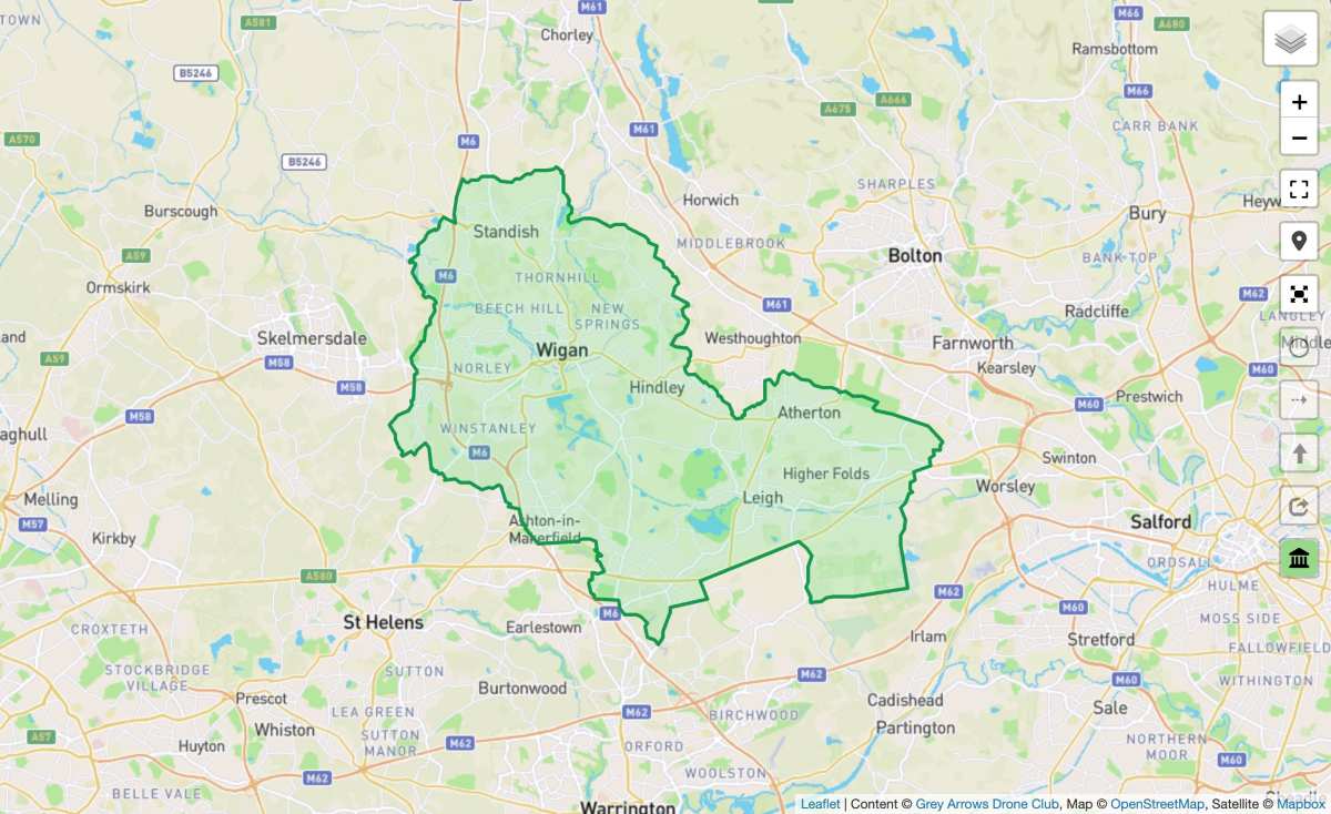
Drone Scene now includes a dedicated council map layer built from more than four million data points. These define precise local authority boundaries, helping pilots quickly understand whether a specific area has restrictions tied to council-owned or managed land.
To build this, the club went straight to the source — every single council. They asked three simple but critical questions:
- Are there byelaws restricting recreational drone use?
- Are there Public Space Protection Orders (PSPOs)—legal tools councils use to manage public behavior—that apply to drones?
- Are there any policies that could affect take-off or landing?
Each council’s response has been pulled directly into the app, removing the guesswork for pilots.
The color system makes it ridiculously easy
Instead of digging through PDFs or legal jargon, Drone Scene now uses a simple traffic-light system:
- Green: No known byelaws, PSPOs, or policies restricting recreational drone use
- Yellow: A policy or PSPO exists that may limit take-off or landing
- Red: A byelaw is in place restricting drone operations in at least some areas
Tap on any council boundary, and you’ll get a clean, easy-to-read pop-up. Think checkmarks, crosses, and short notes — no legal headache required.
Here’s where things get even more interesting. Each council entry includes a direct link to the full Freedom of Information (FOI) record. That means you can see every email sent, every response received, and the actual legal documents behind the data. For a space that often feels murky, that level of transparency is a big deal.
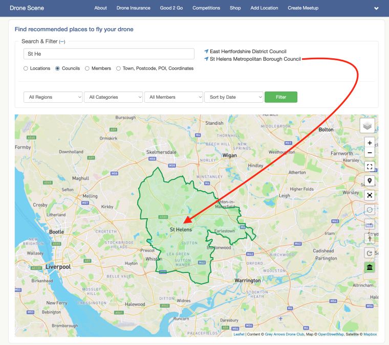
The update also adds a council search feature. Just type part of a council name, click the result, and jump straight to its mapped boundary. From there, you can instantly check what rules apply before you even pack your drone bag.
In the UK, national aviation rules are only part of the story. Local councils can, and often do, set their own restrictions on where you can take off or land. That’s where many pilots get caught out. By putting all of this in one place, Grey Arrows is essentially removing one of the biggest pain points in recreational drone flying: uncertainty. And with more than 37,500 members already using Drone Scene for airspace data, NOTAMs (Notice to Airmen), and flight planning tools, this update makes the platform even more of a one-stop shop.
More: Drone pilots face $100K fines under new DOD crackdown
FTC: We use income earning auto affiliate links. More.


Comments