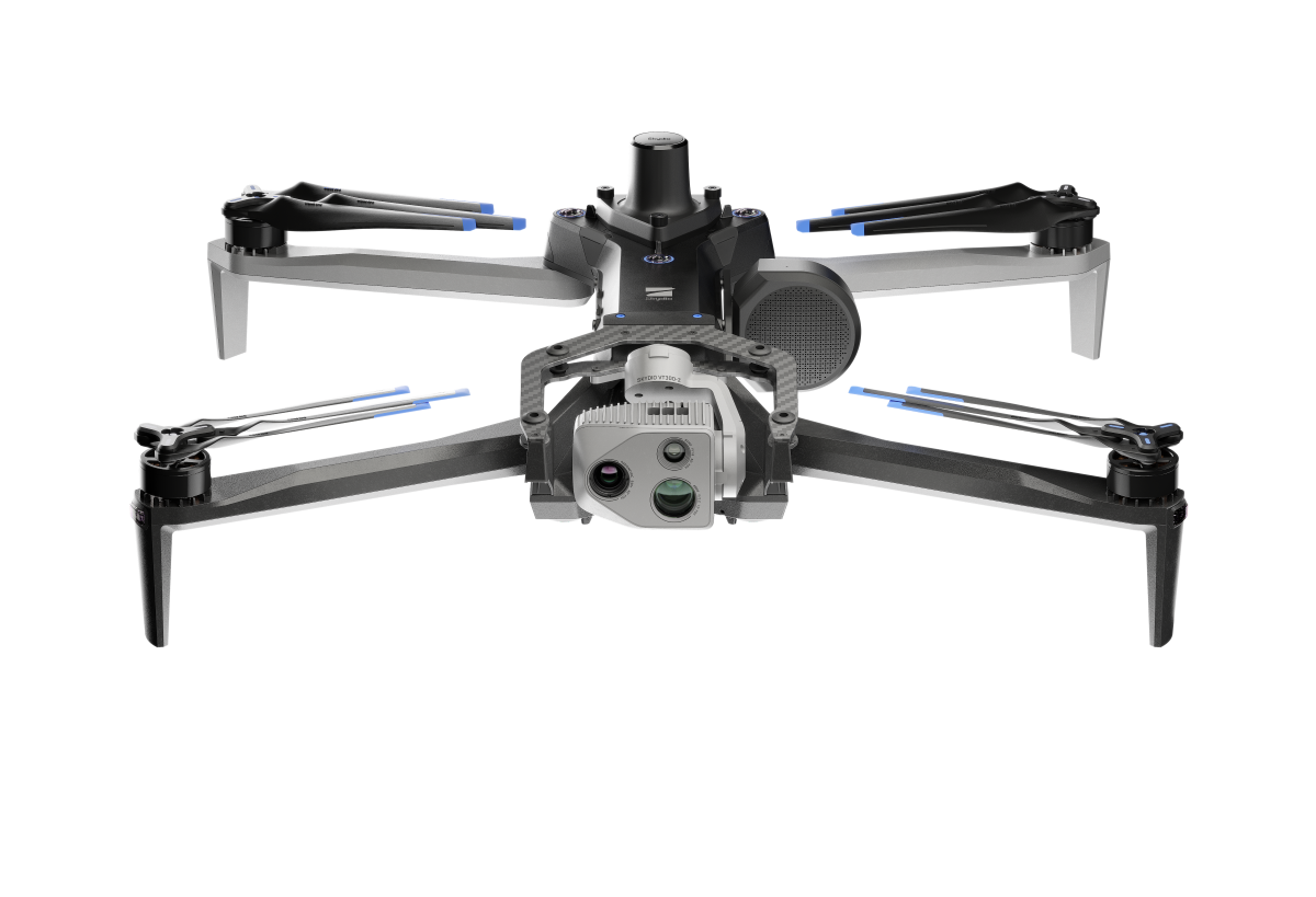
US drone maker Skydio is partnering with industrial technology company Trimble to make the newly launched X10 autonomous drone fully compatible with Trimble’s cloud-based data platform and satellite navigation devices.
The companies announced their association today at Trimble’s annual user conference, Dimensions. Though the collaboration is in a developmental stage at present, the idea is to facilitate accurate data capture, visualization, and analytics in surveying, mapping, and inspection jobs.
Broadly, once Skydio’s flagship X10 drone with the Real-Time Kinematic (RTK) GPS attachment becomes fully compatible with Trimble’s GNSS receivers, users will be able to benefit from survey-grade accuracy in mapping missions when employing Skydio alongside Trimble’s base stations and GNSS receivers. Beyond RTK, customers will also be able to conduct Post Processed Kinematic (PPK) corrections post-flight.
Also read: DroneDeploy begins drag-and-drop PPK processing for DJI drones
Further, an automated, API-based integration between the two companies will enable seamless transfer of drone imagery and metadata from Skydio Cloud to Trimble Industry Cloud. This integration will accelerate the conversion of reality-capture data into actionable insights that enable more efficient and shorter decision-making processes.
Further refinement and analysis of the output data can be done in professional surveying and mapping environments, including Trimble Business Center (TBC).
“Our customers are seeking automated workflows to handle the vast amount of data and maximize its value through improved production and quality control processes,” says Aviad Almagor, vice president of technology innovation at Trimble. “Incorporating Skydio into our ecosystem augments our platform’s capabilities, offering our customers a fully integrated, end-to-end workflow from data acquisition to analytics.”
Also read: New firmware update for DJI Mini 4 Pro drone is here
FTC: We use income earning auto affiliate links. More.


Comments