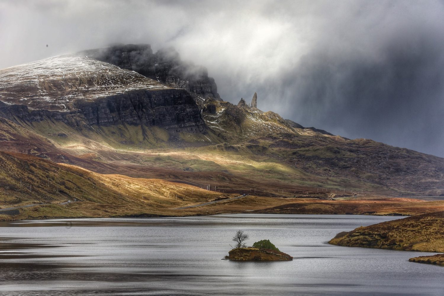
Scotland boasts some of the most gorgeous and wildest natural landscapes the planet, but also some of the easiest for visitors to get lost or stranded in. Those risks are why Scotland’s mountain rescue teams are increasingly turning to drones to locate climbers gone astray and get them out of trouble more rapidly using an aerial view.
Though Ben Nevis is the highest and most storied mountain in Scotland (and, at 4,413 feet, tallest in the UK), the nation has more than 280 peaks over 3,000 feet, most still breathtakingly pristine. But those remote and rugged locales can become traps for the countless people who climb them every year, and when they do, Scottish volunteer mountain rescue teams go into action. But because time is of the essence in responding to mountain search emergencies, organizations leading those efforts have been increasingly turning to drones to find missing climbers and – when necessary – identify the safest and fastest ways of getting them out of dangerous jams.
Heading that aerial charge is Search and Rescue Aerial Association – Scotland (SAARA), which began using drones in reacting to mountain alerts in 2017. In addition to its own innovative deployment of the craft in search operations – using a current fleet of six UAVs – SAARA has also trained pilots in eight of the total 28 member groups in the Scottish Mountain Rescue (SMR) umbrella organization.
Use of drones in Scotland’s mountain emergency response activity offers the same kinds of advantages that UAVs often afford in less perilous mapping or surveying missions. The craft can cover distances faster than humans navigating rugged terrain – and even scour areas for lost climbers more rapidly than dogs. The craft can hover over or around dangerous or inaccessible places for people to reach, and fly in closer to stranded or injured individuals than helicopters can (at a far lower cost than choppers, too).
That ability of drones to get near to spots and situations victims are in allows responders to identify the best means of rescuing people in trouble without having to lower themselves or climb into those same dangerous circumstances as they used to.
“Well now, just put the drone 20 yards out the other side of the cliff and look back, you can see where the casualty is, and our rope experts can say, ‘our safest rope line is here down to here’,” Tom Nash, a former Royal Air Force navigator and founder of SAARA told The Guardian. “You can floodlight that at night. We can put a speaker on and if we know it’s going to be a while, we can speak to the casualty and say help is on the way, ‘give us a thumbs up if you’re OK but can’t move.’ That’s a really critical use.”
While growing, drone deployment in Scotland’s overall mountain rescue activity remains limited – for now. In 2020, for example, SMR member groups received 671 calls to hunt for or help climbers in trouble. The number of UAV missions SAARA flew in its portion of those was four. Last year those increased to 15.
But Nash sees those rising as tech advances allow drones to withstand the cold, wet, and gusty conditions often prevailing in Scotland’s mountains. He also foresees UAVs being equipped with transmitters to permit lost or stranded people to phone their positions in from remote areas otherwise not covered by telecom companies.
It would also help, he notes, if civil aviation regulators gave search and rescue pilots waivers to operate beyond visible line of sight flights in order to scan greater distances without having to move themselves. Ditto, he adds, to ascend above the 400 foot altitude limit for small UAV, and give responders increased visual perspectives.
Photo: K. Brembo
FTC: We use income earning auto affiliate links. More.


Comments