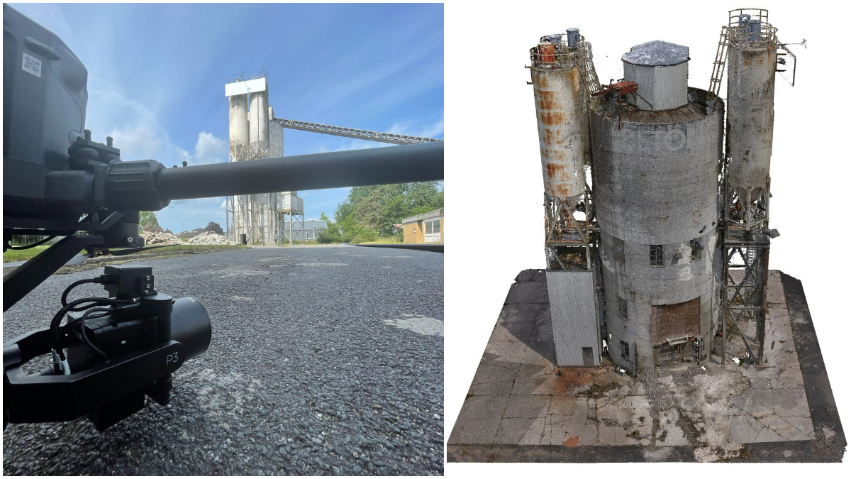
Drone Harmony’s aerial mission planning platform now supports Phase One’s flagship inspection and mapping payload, the P3. The P3 payload is a plug-and-play drone imaging solution that works exceptionally well with the DJI M300 platform. The 100MP sensor is also compatible with Mavlink- and Auterion-supported drones.
Phase One says its P3 customers can now benefit from the full span of data capture workflows enabled by Drone Harmony, including automation of complex inspection and mapping missions around vertical infrastructure.
The P3 drone imaging payload has indeed been able to deliver impressive high-quality data from infrastructure such as electric utilities and cell towers, even at a rather distant flight from the asset. Such missions, however, require high-precision planning, and this is exactly what Drone Harmony brings to the table.
Read: Drone Harmony iOS app is finally here
David Adjiashvili, cofounder at Drone Harmony, says:
We’ve seen a strong customer demand to automatize inspection and high-resolution mapping jobs, especially for high-risk missions in urban or industrial environments. Together with Phase One, we’re now meeting this demand by offering industry-leading high-resolution jobs with an unmatched efficient, accurate, and automated inspection as well as a simplified integration process via Phase One camera SDK.
While announcing the news of their collaboration, the two companies also shared 3D demo sets from an old concrete factory showcasing the planning, flying, and processing of data using the P3 payload and Drone Harmony. That data can be viewed here and is worth every second of your time.
Read: DroneSense enables live video streaming and support for DJI M30, M30T drones
FTC: We use income earning auto affiliate links. More.


Comments