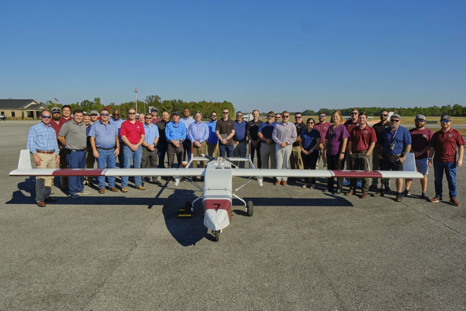
Utility provider Southern Company says it has reached a new milestone on a joint research project with Mississippi State University (MSU). The duo is finding ways for the energy provider to safely expand the use of drones to map critical infrastructure, assess weather-related damage, and conduct routine utility inspections.
At a recent proof-of-concept demonstration, members from the Southern Company’s Aerial Services and Mississippi State University’s Raspet Flight Research Lab flew a large drone with integrated sensors along 28 miles of transmission assets, capturing data from approximately 400 structures. A helicopter with a high-resolution camera was also flown with the intent of evaluating the sensor technology, so that it may be transferred to a drone in the future.
As the next step, the team would look to determine onboard sensor systems that can help drones to detect and avoid other aircraft in their surrounding airspace. Researchers are also working on enhancing the capabilities for communicating with drones from a further distance.
Read: Southern California Edison to spend $50M in pole drone inspection services
Anthony Wilson, who serves as the president and CEO of Mississippi Power and also chairs the Mississippi State University Foundation, insists that the research work is a “game-changer” and that it will open up new avenues for beyond visual line of sight (BVLOS) drone operations. Wilson says:
The data and knowledge we gain through this partnership will help improve safety and reliability, reduce costs and enable us to respond quicker should incidents in our system occur.
Julie Jordan, MSU vice president for research and economic development, adds:
Through investment in this technology, Southern Company is leading the way for broadscale industry adoption. This flight operation and remote sensing research illustrates the profound safety benefits UAS offer to the utility industry and supports not only Southern Company but the industries and citizens that rely on their services.
Read: FAA allows Valmont utility inspection drones to fly BVLOS across US
FTC: We use income earning auto affiliate links. More.


Comments