Swiss tech company Meteomatics is set to launch its drone-based Meteodrone low atmospheric weather analysis platform in North Dakota today – a first in the US that the firm says will provide UAV and other aircraft clients a far clearer picture of rapidly shifting local weather conditions than standard forecasts produce.
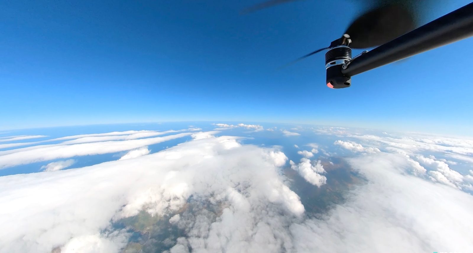
Meteomatics fills the gap existing between the satellite, radar, aircraft, and other high-altitude methods for gathering data for wide-area forecasts, and the rapidly shifting wind, rain, sleet, fog, and other factors present at lower levels. It does so with its specialized Meteodrone system, featuring a drone that has received Federal Aviation Administration approval to fly up to 9,000 feet.
The craft’s data gathering during ascent and return to ground piece together a precise analysis of real-time hyper-local atmospheric conditions. That information then allows UAV and other aircraft operators to know how the weather they’ll face in the immediate future will shift in near-time, thereby allowing clients to base their flying plans to avoid problematic situations.
Read more: Swiss Meteodrone provides real-time low-altitude weather outlook for UAV operators
Meteomatics has long used its Meteodrone system in teams of weather-scanning drones to generate accurate low-level weather forecasts across Europe. Starting today, it will be providing that service for the first time in the US out of North Dakota’s Grand Forks Air Force Base, in partnership with GreatSKY – the nation’s first commercial UAV and aviation park – and meteorological forecasting company TruWeather Solutions.
Meteomatics’ system works by dispatching Meteodrone into weather systems at atmospheric levels of up to 9,000. It then uses sensors and video to provide localized conditions, including temperature, humidity, air pressure, and wind speed and direction.
That information is fed directly to a ground station whose computer generates a high-resolution model of the current situation, as well as accurate hyper-local forecasts the company says are nine times more focused on specific areas – with a precision of up to one-square kilometer – than even the best meta-weather companies can manage.
Selection of GrandSKY was no accident. For starters, the organization is virtually hard-wired into North Dakota’s Vantis state-wide drone network. Meanwhile, Meteomatics had previously trialed its Meteodrone solution in Oklahoma, aware that the topology of all Great Plains states causes atmospheric systems to travel much faster than elsewhere, resulting in rapidly shifting low-level weather shifts.
Paul Walsh, who was appointed CEO of Meteomatic’s new US operations last month, says both geographical positioning, partnering, and advanced drone activity factors dovetailed to make Grand Forks the right spot for the company to debut its Meteodrone solution in the country.
“The work we’re doing with GrandSKY and TruWeather Solutions showcases the real-world need for extremely accurate weather data, and how it can affect mission-critical decisions around the clock,” said Walsh. “This isn’t just true of the aviation space; weather plays a huge role in how organizations across the world operate. We are proud of our new partnership, the light it will shine on the current gaps in visibility, and the opportunities that will open as a result of filling them.”
FTC: We use income earning auto affiliate links. More.


Comments