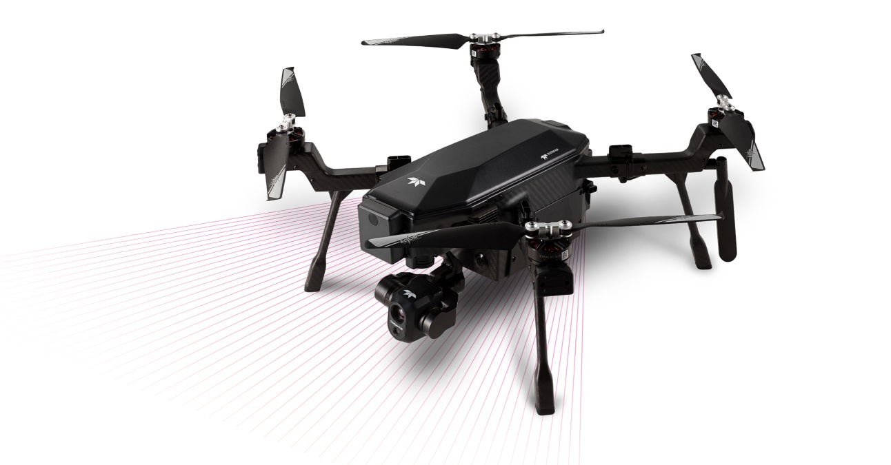
A couple of important updates for SIRAS drone operators. New US state and regional maps are now available to download for the IP54-rated professional drone. In addition, Teledyne FLIR has released a safety-focused firmware update for the SIRAS to address a potential issue affecting the communication between the drone and its remote controller.
Data security is one of the biggest selling points of the Teledyne FLIR drone, which comes with radar-based front collision avoidance and up to 31 minutes of flight time. SIRAS is a completely offline drone. As such, pilots need to download and install maps to the drone’s onboard memory card before conducting missions.
However, up until now, the only option for users was to download maps by region. So, even if you planned to use the drone in only one state, the regional map would eat up a lot of internal memory space. This problem has now been rectified with the release of individual state maps. And in case you plan on performing missions across state lines, you can always download multiple maps and remove them later to save on space and storage on the memory card.
Watch the following video to learn how to download and install maps on the SIRAS controller:
Coming to the new firmware update, version 1.16.49 is now available to download for the Teledyne FLIR SIRAS drone. According to the safety notice issued by the company, a firmware programming issue within the SIRAS system could be affecting the communication between the remote controller and the aircraft. Because of this, all controllers that have firmware version 1.16.46 and prior are potentially impacted. The drone maker is urging all users to update the firmware urgently.
You can download the new firmware and maps here.
Read: Autel Robotics to reveal new drones Alpha and Titan in Texas
FTC: We use income earning auto affiliate links. More.


Comments