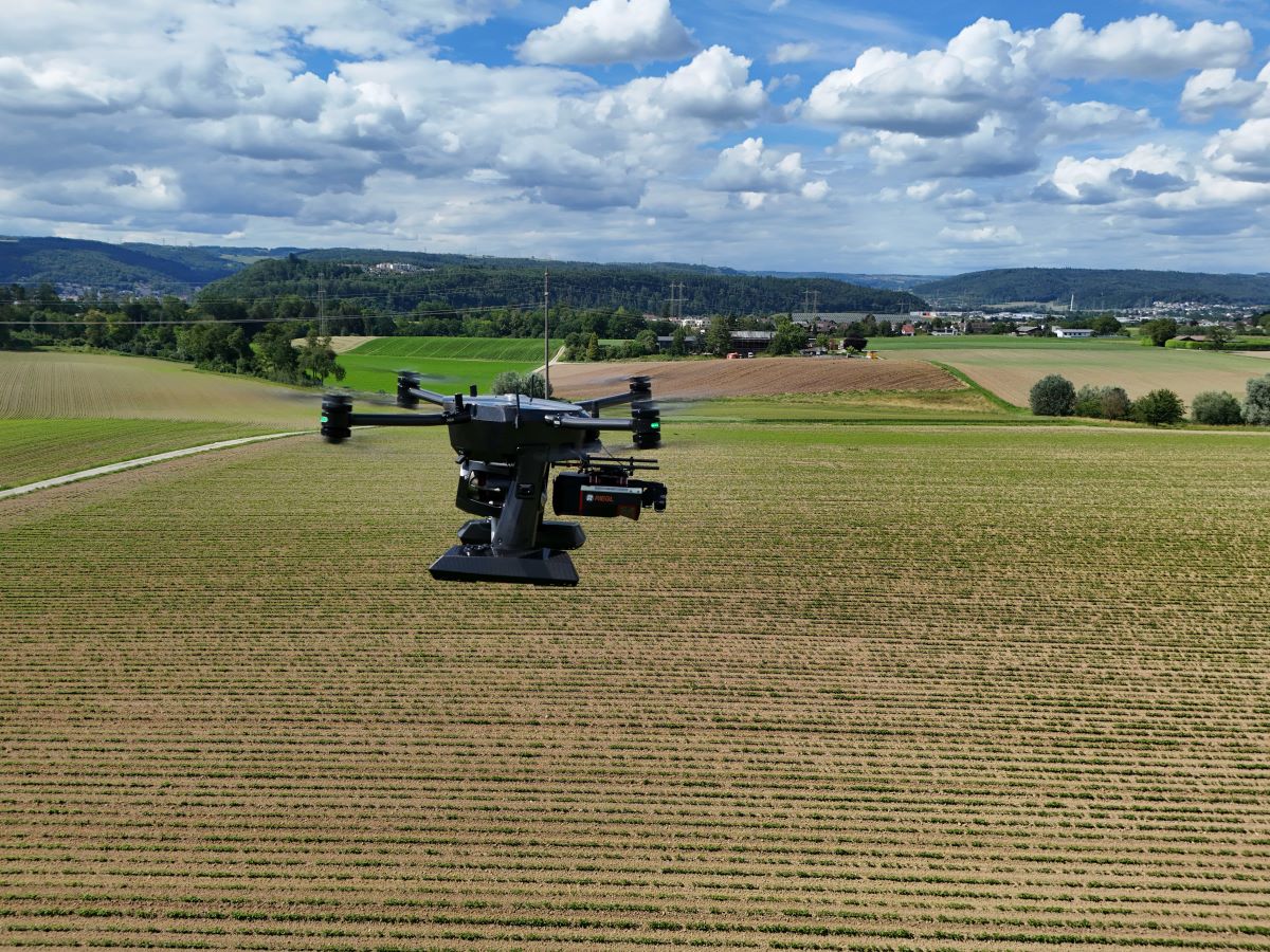
LiDAR mapping specialist GeoCue and Swiss drone manufacturer Xer Technologies are joining forces to make large-scale surveying and mapping easier for professionals. The two companies are integrating GeoCue’s TrueView 720 LiDAR and imagery sensor with Xer’s X8 drone, creating a tool to make aerial mapping faster, more accurate, and more accessible.
This collaboration brings together the strengths of both companies. The Xer X8 drone leverages hybrid-electric technology. It can be launched within 2 minutes, carry payloads of up to 7 kg, and fly for up to 2.5 hours even in adverse weather conditions. Now, paired with GeoCue’s TrueView 720 sensor, the drone can capture incredibly detailed 3D images and LiDAR data over vast and difficult terrains. This is a big win for industries like civil engineering, environmental monitoring, and infrastructure inspection, where precise and efficient data collection is crucial.
Also see: DJI Neo drone: What to expect ahead of September 5 release
According to Gökmen Çetin of Xer Technologies, the integration opens up new possibilities for clients who need to map extensive areas with pinpoint accuracy. “Our partnership with GeoCue is all about pushing the boundaries of what’s possible in aerial mapping. With this new solution, our clients can now create highly accurate digital twins and point clouds over greater distances, faster than ever before,” he says.
GeoCue’s VP of global sales, Vincent Legrand, echoes this enthusiasm, highlighting the potential for this new platform to enhance the capabilities of professionals worldwide. “The Xer X8 drone, combined with our TrueView 720 sensor, offers an outstanding platform for collecting high-quality LiDAR and imagery data, enhancing the capabilities and productivity of professionals worldwide,” Legrand says.
Read more: Anzu Robotics’ ties to drone maker DJI under Congressional scrutiny
FTC: We use income earning auto affiliate links. More.


Comments