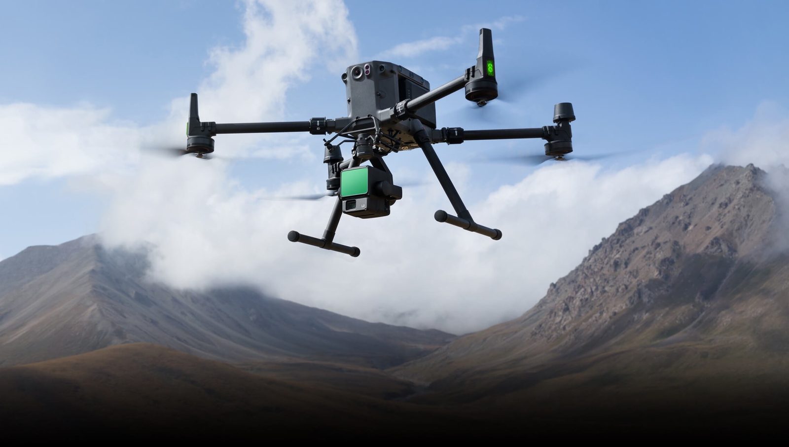
DJI has released version 4.3.0 of Terra software, a powerful drone mapping solution used widely across industries such as construction, agriculture, electricity, oil and gas, and public safety. This update, which builds on Terra’s established capabilities in creating 2D and 3D maps from aerial imagery, adds features to streamline workflows and improve model editing for professionals.
One key addition is the ability to display flight trajectories for tasks performed using the Zenmuse L2 LiDAR payload, providing users a clearer understanding of flight paths during data collection. Another enhancement allows users to import 3D mesh models directly into DJI Modify, a tool within Terra that supports intricate model editing. These mesh models, compatible with Terra versions 3.5.0 and above, open up possibilities for users to refine reconstructions directly within the software, eliminating the need for external tools.
Additionally, version 4.3.0 introduces XML output for Aerotriangulation, which lets users restart the reconstruction process after completing a visible light reconstruction mission. This feature provides flexibility for users who want to optimize or troubleshoot their mapping tasks without starting from scratch, making it especially useful for professionals managing complex or high-volume data.
Launched in 2019, DJI Terra continues to evolve to meet the needs of industries that rely on drone-generated geospatial data. Its recent improvements follow earlier 2024 updates, which included enhanced support for LiDAR data processing, expanded coordinate systems, and a seven-parameter transformation function to streamline geospatial alignment.
Read more: DJI Goggles 3 update boosts Avata 2, Neo FPV drone experience
FTC: We use income earning auto affiliate links. More.


Comments