DJI Terra
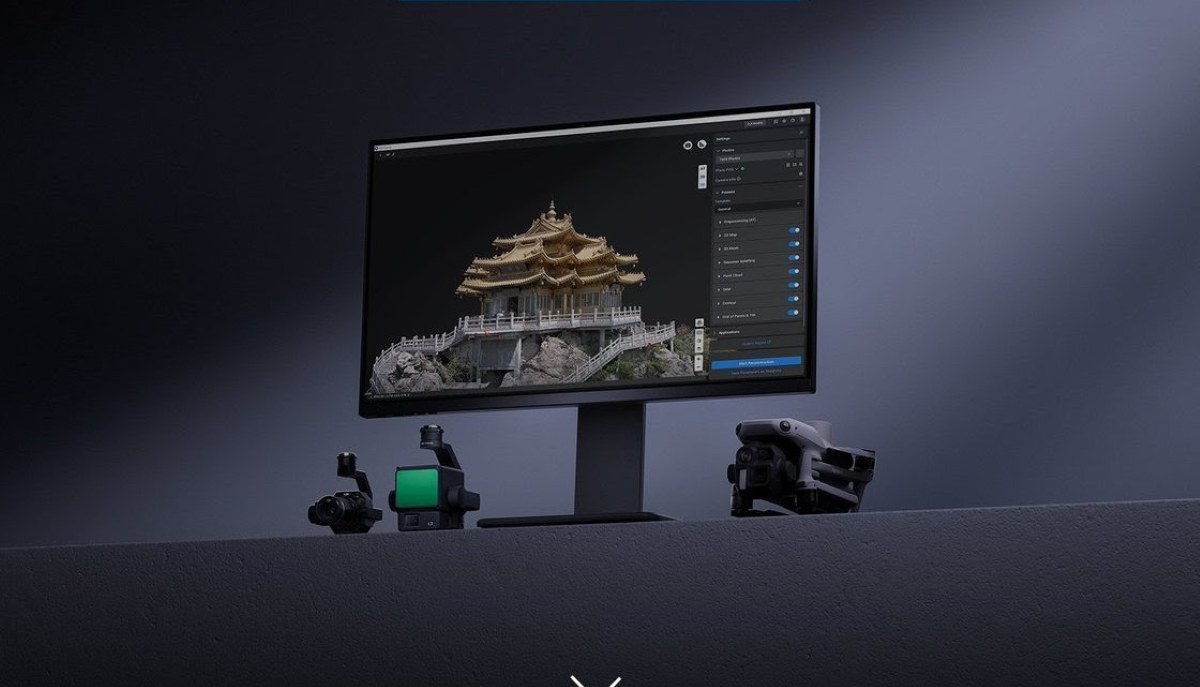
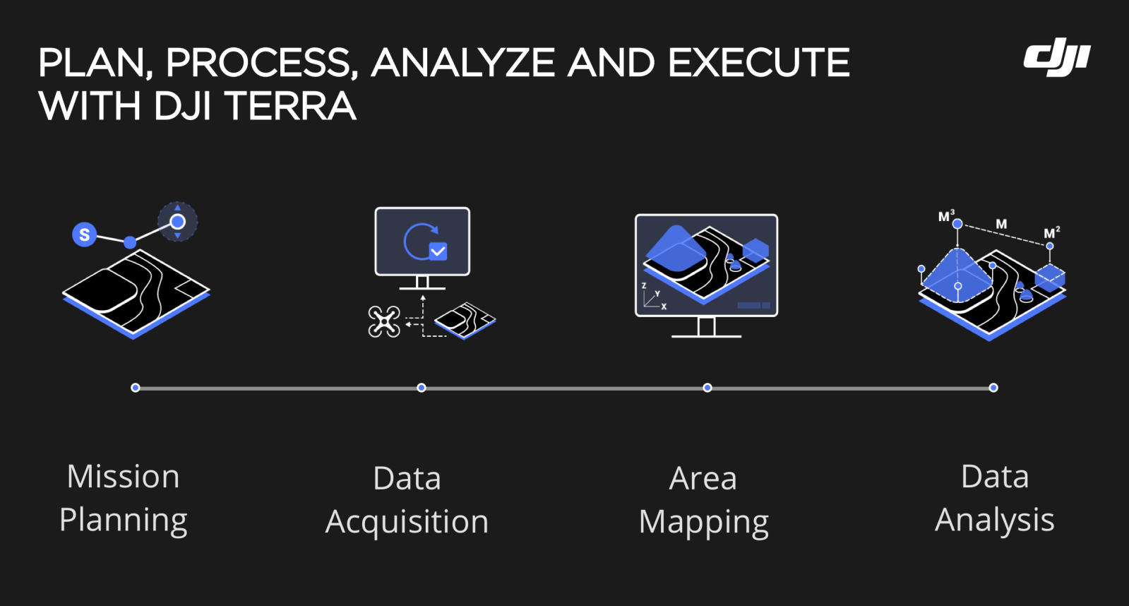
DJI Terra is an all-in-one drone mapping solution that contains all the resources that surveyors or project managers need to plan, visualize, process, and analyze aerial data. The 3D modeling and mapping software transforms drone data into digital assets for easy analysis and decision-making.
DJI Terra was launched in 2019 in response to a need for a more streamlined solution that could facilitate faster decisions in critical sectors such as public safety, construction, infrastructure, and agriculture.
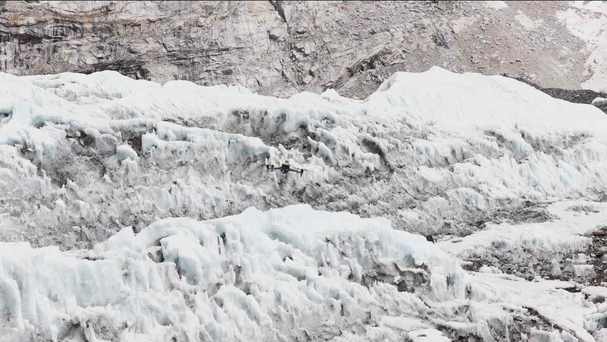
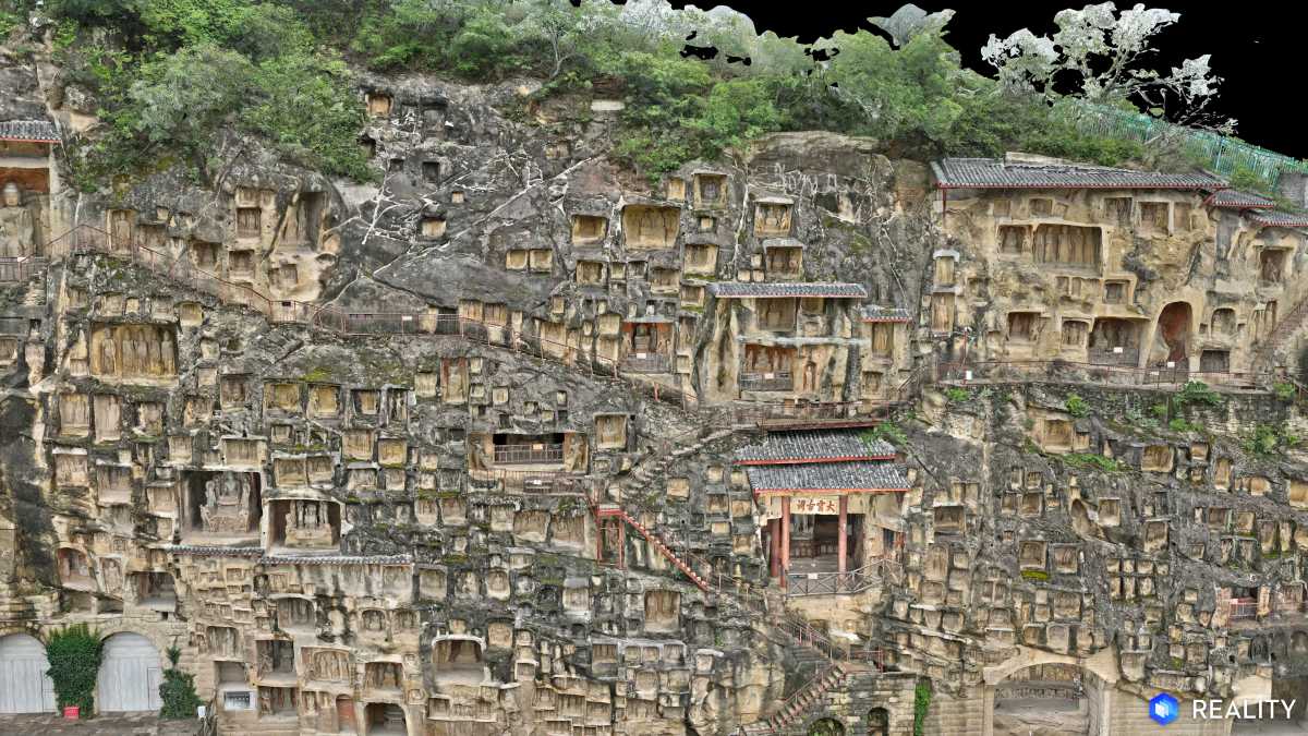
The software comes with real-time mapping capabilities. This means drone pilots can quickly generate 2D orthomosaic maps as the drone flies. DJI Terra’s fast processing capability also creates sharp and realistic representations of any environment through detailed 2D orthomosaics and 3D model reconstructions used for industrial applications like reconstructing vehicle crashes, tracking progress on construction projects, or conducting large-scale critical infrastructure inspections on bridges and roadways.
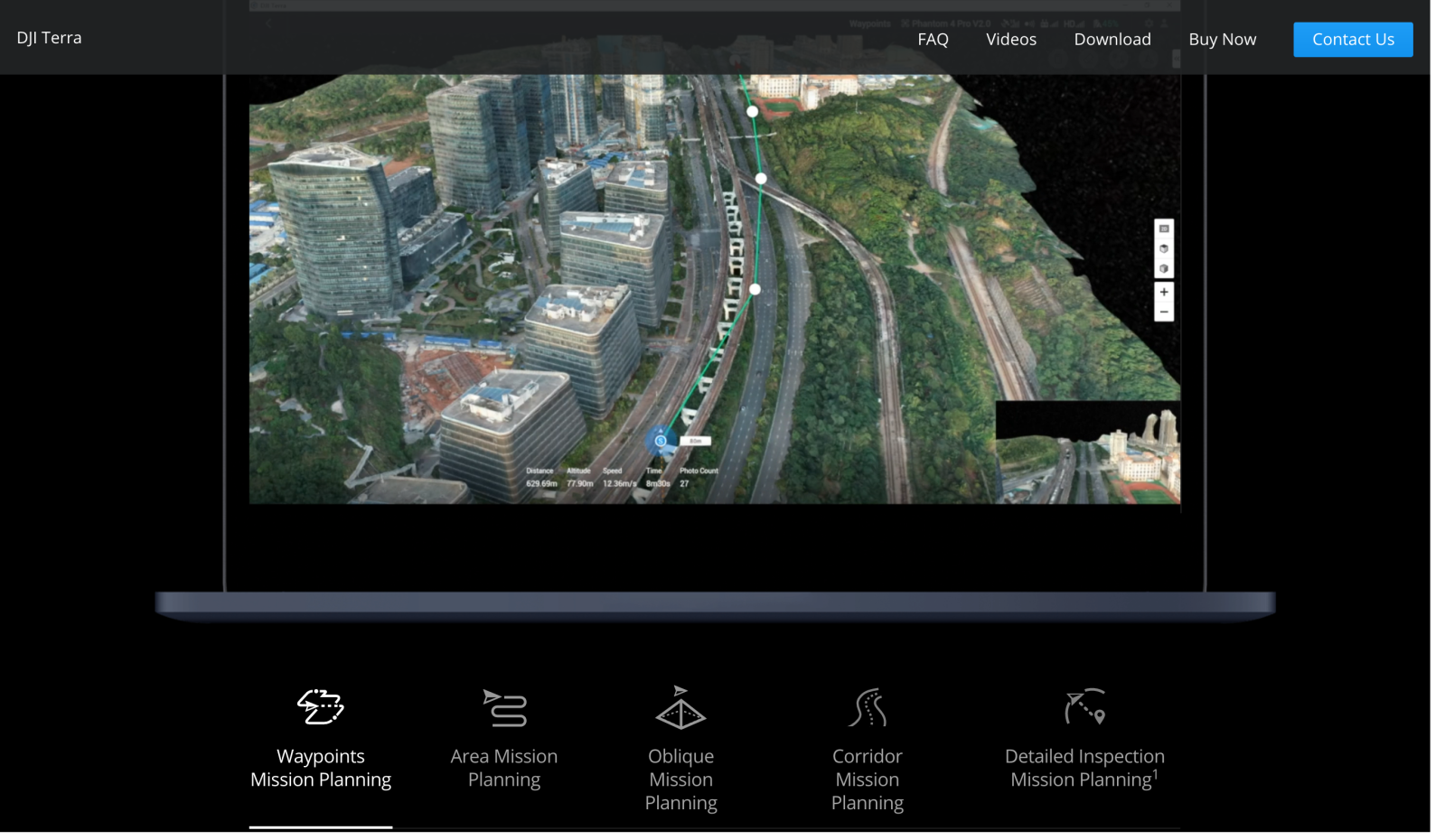
In addition, the software helps commercial drone pilots to plan automated flights with several easy-to-use options based on the area or objects they’d like to capture and the type of map or 3D model they’d like to create. Mission planning types include:
- Area: Capture a specific area quickly and easily by drawing a custom polygonal flight zone on a map. DJI Terra automatically generates efficient flight path options based on the area selected.
- Waypoint: Create dynamic custom flight paths through an area or around objects using waypoints and adjustable parameters like aircraft altitude, speed, heading, gimbal pitch and angle. For more complex missions that require high attention to detail, the 3D Flight Visualization feature enables the design and simulation of missions on existing 3D models.
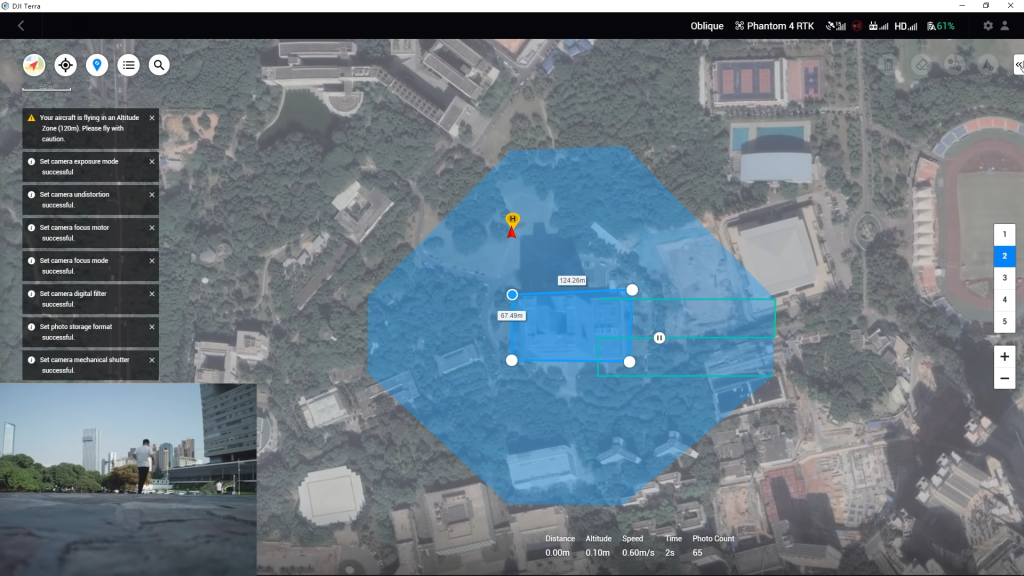
- Oblique: Capture a rich data set by automatically flying the same route multiple times. Each flight automatically adjusts the angle of the camera to capture new details, giving an extra crisp 3D model of the object or asset from multiple angles
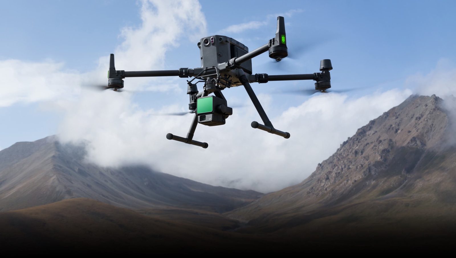
The intuitive software is compatible with Phantom 4 RTK, P4 Pro, P4 Multispectral, Matrice 300 RTK, Mavic 3 Multispectral, as well as Zenmuse P1 and Zenmuse L1 payloads.
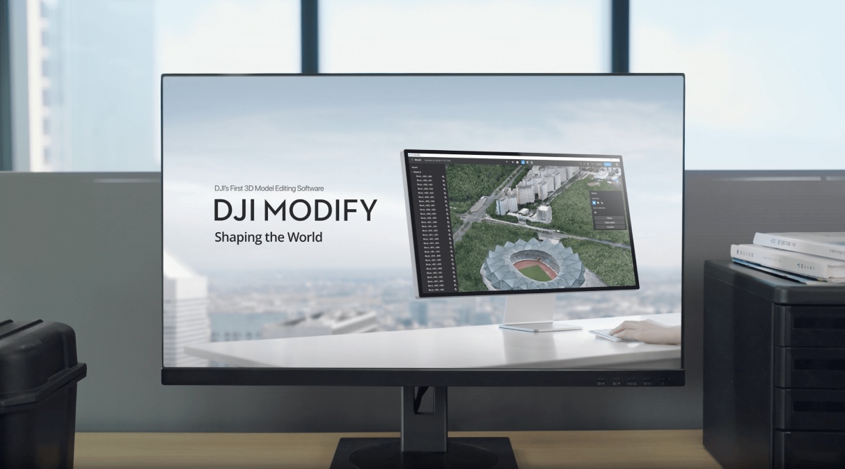
You can also use Terra with a complementary software solution, DJI Modify, that makes repairing common 3D model defects simple and efficient. With one click, DJI Modify can be launched in any DJI Terra 3D modeling project. Once DJI Modify has been enabled, DJI Terra files for model editing are automatically generated, including pre-identified objects and pre-processing of the model. It’s just like Photoshop for photo editing, which makes repairing common 3D model defects seamless and efficient. Currently, DJI Modify will only support repairing models built by DJI Terra.