
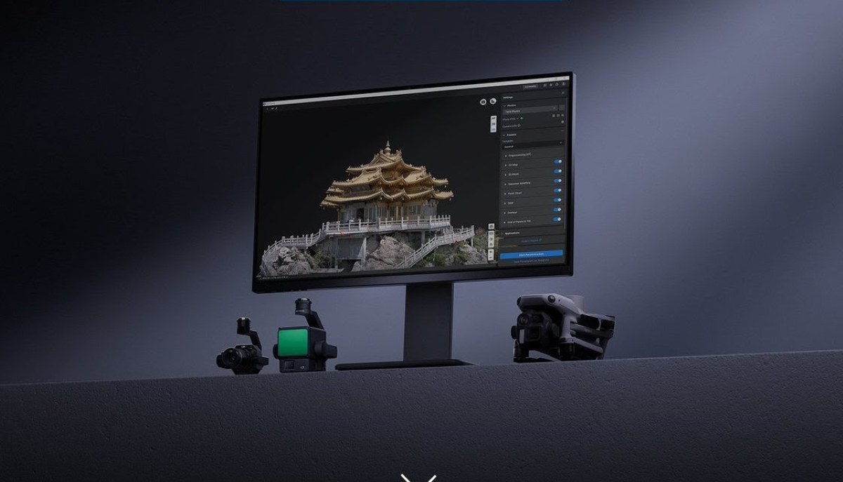
Drone pilots who create maps, 3D models, or inspection reports just got a significant new set of tools. DJI has released one of the biggest updates yet for its Terra mapping software, adding thermal mapping, video-based reconstruction, an AI assistant, and several features designed to make drone data easier to process and analyze.
If you’ve never used DJI Terra before, think of it as the software that transforms drone imagery into useful digital assets. Instead of simply looking at photos captured during a flight, users can create orthomosaic maps, 3D models, point clouds, terrain maps, and inspection datasets for everything from construction sites and highways to power lines and emergency response operations.
This latest release focuses on making those workflows faster, more flexible, and easier to troubleshoot.
Thermal mapping gets a major boost
Perhaps the biggest addition is support for thermal infrared reconstruction. Until now, thermal imagery was primarily useful for identifying hot spots or temperature differences in individual photos. With DJI Terra 5.3.0, users can now create 2D thermal maps that combine visible-light imagery with thermal data captured simultaneously during a flight.
The resulting maps don’t just show temperatures; they also let users switch between 10 different color palettes, measure temperatures across individual points, lines, or entire areas, and export temperature measurement reports.
For industries like solar inspections, firefighting, building inspections, and utility maintenance, that could significantly simplify post-flight analysis by combining visual and thermal information into a single reconstruction.
The feature supports several enterprise DJI platforms, including the Mavic 3 Thermal drones, Matrice 4 Thermal drones, and thermal payloads like the Zenmuse H20T, H20N, and H30T.
Video can now become mapping data
Another standout addition is support for importing video files directly into visible-light projects.
Previously, users typically needed hundreds or even thousands of overlapping still photographs for photogrammetry. Now DJI Terra can automatically extract frames from recorded video and use those images for reconstruction.
That gives operators another way to create maps and 3D models, particularly when a video has already been captured or when extracting frames is more practical than shooting individual photographs.
The feature is compatible with drones including the Mavic 3 Enterprise and Thermal models, along with the Matrice 4 series.
Better results from rolling shutter cameras
DJI has also introduced support for Rolling Shutter (RS) reconstruction. Many cameras capture images using a rolling shutter, where different parts of the image are recorded milliseconds apart instead of all at once. That can sometimes introduce slight distortions, especially during fast movement.
DJI says Terra’s new algorithms are specifically optimized for these imaging characteristics. Users can enable an “Optimize RS Files” option to improve aerotriangulation accuracy as well as both 2D and 3D reconstruction quality.
The feature currently supports the Mavic 3TD and Matrice 4T/TD.
AI arrives inside DJI Terra
The update also brings an integrated AI Assistant. Instead of searching through manuals or online forums, users can ask questions directly inside the software to quickly find workflow guidance and answers about using DJI Terra’s various features.
DJI has also added an online user manual that can be viewed through the software or downloaded as a PDF when needed, making documentation much easier to access.
Easier troubleshooting and cleaner storage
DJI is also trying to reduce some of the frustration that comes with long reconstruction jobs.
A new Execution Record provides a visual timeline of reconstruction steps, showing project status, failure points, and suggested solutions if something goes wrong. Rather than simply displaying an error message, the software now gives users more information to help diagnose problems themselves.
Storage management has also improved with a new one-click option for clearing project cache files and reclaiming disk space.
Faster 3D reconstruction and broader compatibility
Several additional improvements target professional mapping workflows.
Cluster reconstruction now supports Gaussian Splatting (3DGS), allowing much larger reconstruction projects while improving processing efficiency. DJI also says it has enhanced water rendering and reduced floating artifacts in Gaussian Splatting outputs for cleaner-looking 3D scenes.
For users working with point clouds, DJI Terra can now export directly in LAS 1.4 and LAZ 1.4 formats, making it easier to move datasets into other GIS and surveying software.
The update also adds support for importing local GTG-format TIFF elevation files, improves quality reports for visible-light, LiDAR, and multispectral projects, speeds up coordinate system searches, and streamlines software activation. Regional enhancements include new deliverables for Japan’s public surveying regulations and built-in support for Korea’s KNGeoid26 vertical coordinate system. Users can also now submit bug reports directly from within the application.
Do note there’s one important requirement before upgrading. Starting with DJI Terra 5.3.0, the software no longer supports Windows 7. Anyone planning to upgrade will need to be running Windows 10 or a newer version of Microsoft’s operating system.
Taken together, the release is less about one headline feature and more about making DJI Terra a broader reality-capture platform. From thermal mapping and video-based reconstruction to AI-powered help and larger-scale 3D processing, version 5.3.0 expands the kinds of projects enterprise drone operators can complete without leaving DJI’s software ecosystem.
More: The DJI trick every social media creator should know


FTC: We use income earning auto affiliate links. More.





Comments