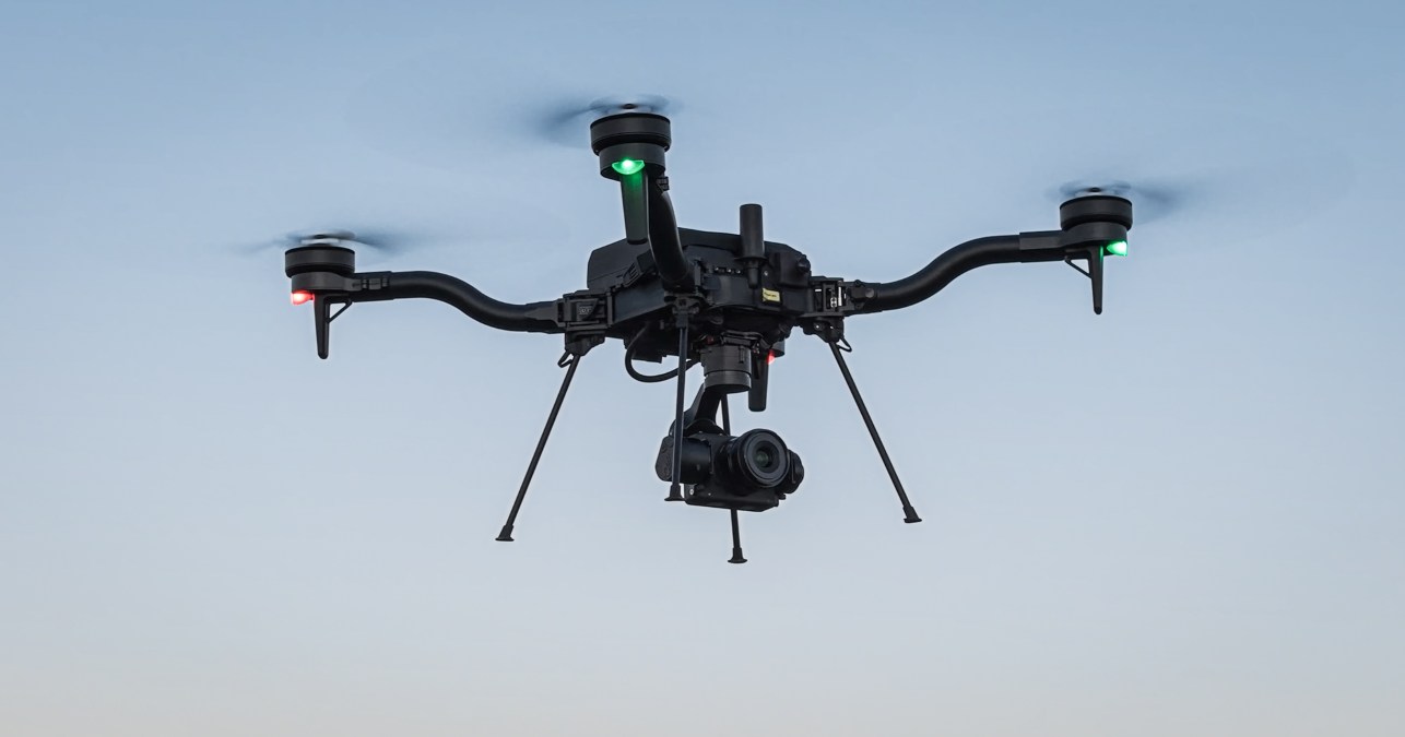
Mapping and location intelligence specialist Esri has announced it is integrating Freefly Systems’ Astro Max drone into ArcGIS Flight — a dedicated application for geospatial drone flight planning and data capture.
Why is this a big deal? Well, Esri is the de facto market leader in geographic information system (GIS) software, location intelligence, and mapping. Its software is deployed in hundreds of thousands of organizations globally, including Fortune 500 companies, government agencies, nonprofit institutions, and universities. And the Astro Max is the first Blue UAS-cleared and NDAA-compliant drone to work with Esri’s software. That means it meets the toughest federal security and performance standards, making it a top pick for government and enterprise drone operators who need both power and peace of mind.
ArcGIS Flight lets drone pilots plan and execute missions with ease, capturing high-quality images and geospatial data along the way. Now, with Astro Max on board, users — especially those working with the US government — can fly drones autonomously, capture high-quality drone imagery, and improve situational awareness. They can also easily share flight information with key stakeholders and collect geospatial video, which includes location and orientation data.
Brent Pierce, Esri’s lead product engineer for ArcGIS Flight, sees this as a game-changer. “With this integration, we’re not only meeting federal customers’ demands but also staying ahead of potential federal regulations,” he says. In other words, Esri is making sure its users get the best secure and seamless drone mapping experience possible.
Esri’s backing of Astro Max is a huge step forward for the drone industry, giving agencies and organizations a trusted, high-performance solution that meets the strictest compliance requirements. For those who want to see the Astro Max and ArcGIS Flight in action, Esri has even released this video showcasing the integration.
More: Skydio X10 drone pilots must update batteries before takeoff
FTC: We use income earning auto affiliate links. More.


Comments