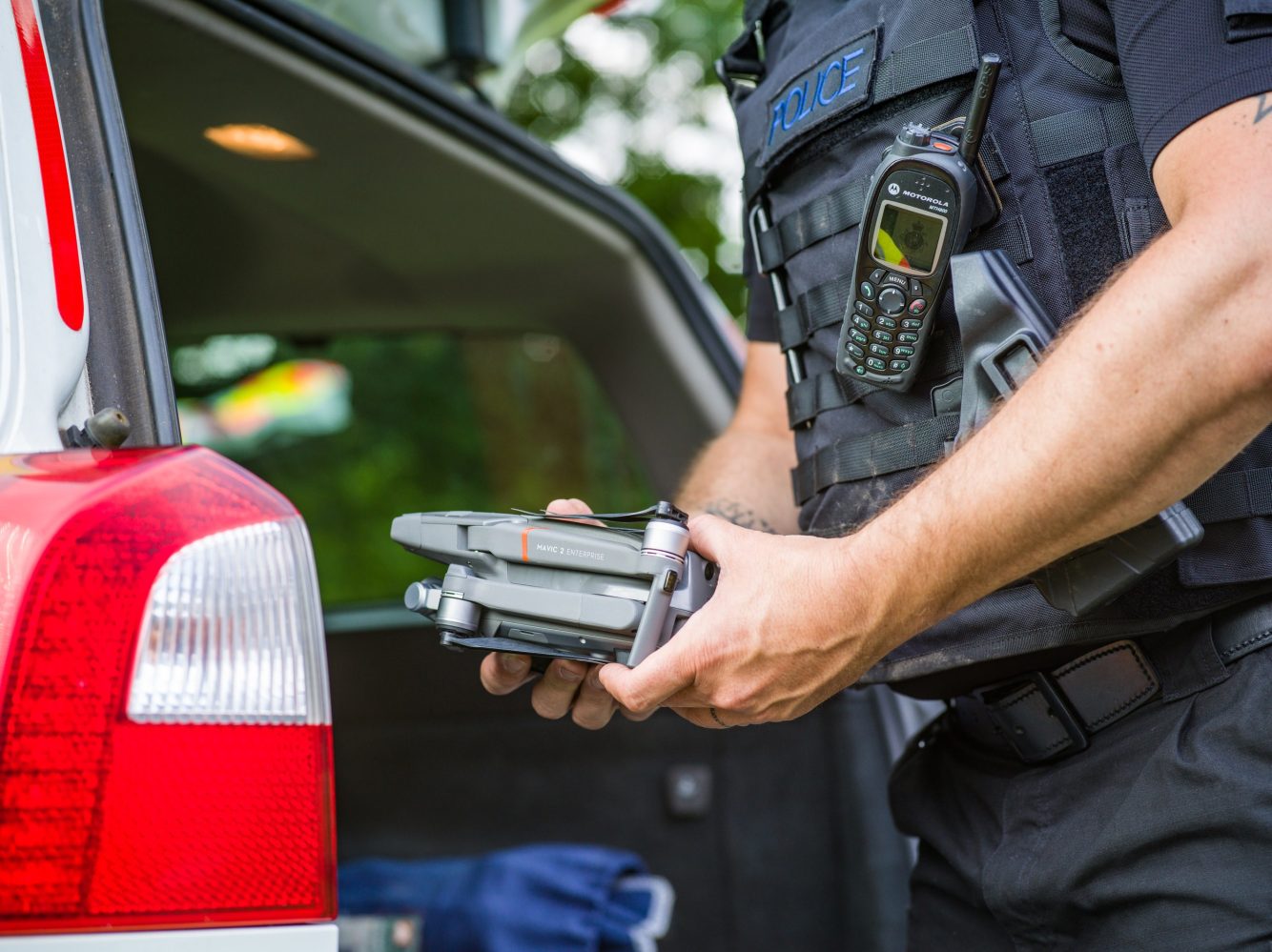
Unmanned aerial system service specialist, DroneSense has introduced mobile streaming and asset management capabilities to its interface platform. The company says the features will be of particular value to first responders in emergency situations.
Real-time emergency data feed
DroneSense called the new applications “absolute game-changers” in heightening the safety and efficiency of reaction to urgent events or disaster scenarios. Together, the functions will allow authorized responders to remotely livestream and analyze unfolding emergencies, and get precise information on the identities and locations of human and mechanical actors involved.
That fuller range of situational data will be available to all authorized parties involved in, managing, or speeding to emergencies, noted DroneSense SEO Chris Eyhorn.
Mobile Streaming and Asset Tracking are absolute game-changers for first responders. We designed these features with the needs of first responders in mind, particularly emphasizing the improved outcomes that often accompany an open and inclusive systems architecture. We believe that by equipping organizations with as much information and as many options as possible, they can run more successful missions, collaborate more effectively, and make better decisions about how to complete missions.
Eyhorn unveiled the new features during the Public Safety Drone and Robotics program at the Reveille Peak Ranch, Texas.
Connecting drones, responders, transport to evolving emergencies
The mobile streaming app allows authorized participants to follow on-site emergency reaction in real-time by connecting their iOS or Android smartphones or tablets to the secure DroneSense Ops Hub. That not only vastly speeds up and broadens the information remote actors obtain in planning further action. It’s also accessible to all connected devices – whether stationary or moving, on the ground or in the air – putting everyone in the same evolving loop.
The asset tracking permits users to see the exact identity and location of other response participants via the GPS of their connected device. Real-time mapping of police officers, patrol cars, fire, ambulance, and K-9 units, drones, and robotic tools will offer response managers better situational awareness to maximize deployment of assets, based on the location of participants vis-à-vis unfolding emergencies.
Though the new DroneSense offer is clearly angled for the public safety responders who have long been among the company’s main focuses, Eyhorn says it can be valuable to other types of clients as well.
“Our customers have told us this is one of the first systems to integrate manned and unmanned assets on a single pane of glass to help make better real-time decisions,” he noted. “These products have been extensively tested in the field for the last several months. We are very happy to share them with our entire customer base.”
FTC: We use income earning auto affiliate links. More.


Comments