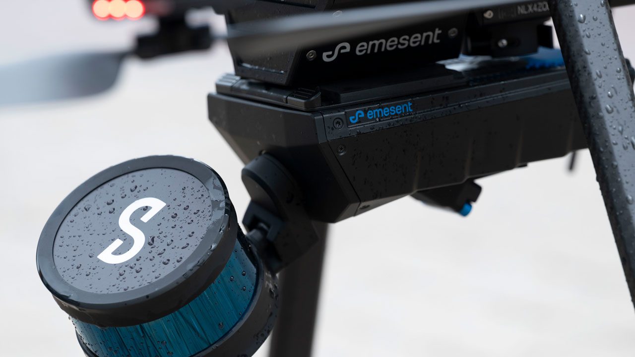
Autonomous drone mapping startup Emesent has announced its latest survey-grade LiDAR payload: Hovermap ST. The lightweight, IP65-rated solution is being launched with Emesent’s new Automated Ground Control feature that, the company stresses, enables autonomous data capture in harsher environments than ever and for a wider range of use cases.
Australia-based Emesent has earned a reputation for reliably mapping challenging, GPS-denied environments (read underground mines and oil and gas platforms) since its 2019 launch. As a testimony to its success, you only have to look as far as the company’s recent series A funding round, which was oversubscribed and fetched Emesent a cool $23 million (AUD 32 million) in capital infusion.
Emesent’s LiDAR payloads leverage a process called simultaneous localization and mapping (SLAM), in which a drone builds a map and, at the same time, localizes the drone in that map.
While this technique is successful when it comes to the rapid mapping of complex environments, it cannot be used to achieve survey-grade accuracy in all kinds of missions. As such, surveyors are often torn between choosing fast data capture and data accuracy.
The new Hovermap ST and its Automated Ground Control feature change that. The drone LiDAR payload enhances the SLAM solution to remove what is called “SLAM drift” and produces highly-accurate, georeferenced point clouds.
As Emesent cofounder and CEO, Dr Stefan Hrabar, puts it:
This is a huge step forward for mobile mapping, providing unrivaled SLAM accuracy and workflow efficiencies. We’re excited to be providing our customers with a new robust and reliable autonomous mapping tool for challenging environments, including those that were previously not well suited to SLAM-based mapping.
Emesent Hovermap ST drone LiDAR payload: What’s new?
The company’s press release explains how the new solution works.
Emesent Ground Control targets are placed in the environment and captured in a continuous scan with Hovermap ST. There is no need to stop or place Hovermap on the targets, ensuring the capture process remains as efficient as before.
The targets are automatically detected by Emesent’s SLAM processing engine and used to both improve the SLAM result and automatically georeference the point cloud to the control points.
The process includes automated constellation matching between detected targets and known survey coordinates, eliminating cumbersome manual work which can introduce errors.
Hovermap ST has been redesigned from the ground up with robustness and reliability in mind, without compromising mapping quality. The rotating LiDAR produces up to 600,000 points per second in dual-return mode, covering a near-spherical field of view.
In the meantime, Hovermap’s Tap-to-Fly autonomy feature enables Guided Exploration in previously inaccessible areas beyond the line of sight (BVLOS) and communication range. The omnidirectional Collision Avoidance and smart Return-To-Home functions ensure assets are kept safe and valuable equipment isn’t damaged or lost.
Read more: Exodigo wants to end the era of blind digs with underground mapping drones
FTC: We use income earning auto affiliate links. More.


Comments