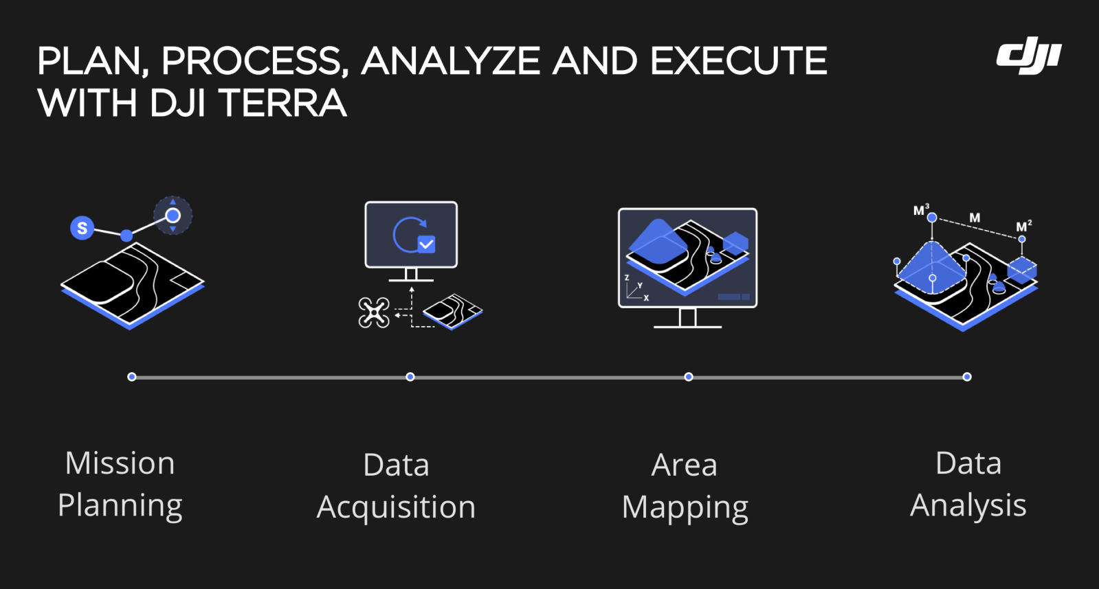
The DJI Terra development team has been busy this year, continuing the streak of software updates for the all-in-one drone mapping solution. In the latest release (v3.4.0), the team has decided to upgrade Terra’s reconstruction algorithms that are based on the NVIDIA CUDA parallel computing platform.
It is DJI Terra’s third update this year, with the first taking place in January and the second in March. As with other updates, this one also comes with considerable functionality improvements – and a rider that the driver version of the NVIDIA graphics card on the computer must be upgraded to version 452.39 and above. You can check and upgrade your GPU driver version using this step-by-step guide. But first, let’s see all that’s new in DJI Terra version 3.4.0.
Also read: Massive leak reveals every last detail about DJI Mini 3 Pro drone
DJI Terra update: New features, optimizations, fixes
What’s new?
- Block splitting in 3D reconstruction now allows users to set custom memory limit or side length for a single block.
- The origin of a 3D model can be customized and imported into other software for multiple model displays.
- Added Light Uniformity/Haze Reduction settings for 2D visible light and multispectral reconstruction missions to improve reconstruction effects of hazy scenes or fields under strong lighting conditions.
Optimizations
- Optimized user experience when copying reconstruction missions. Users can now copy reconstruction parameters and aerotriangulation results.
- Optimized effects of 3D model reconstruction. Motion blur caused by moving objects such as vehicles and pedestrians on textured models is significantly reduced.
- Optimized GCP file import. Users can define GCP file format when importing.
- Added elevation data to coordinates in 2D maps.
- Added slope data when measuring the distance between two points.
- The output coordinate system of LiDAR point cloud processing now defaults to the UTM system. UTM system is a projection-based coordinate system, in which the projection zone is determined based on the location of the base station center point.
- Refined structures and names of OSGB, OBJ, and PLY files so that they can be processed in a wider range of backend software, such as modeling software.
- View of 3D model displayed in Region of Interest (ROI) changed from perspective projection to orthogonal projection, also known as parallel projection.
- Computers with NVIDIA Ampere architecture-based GPUs (RTX30 series) can now be used for 2D visible light reconstruction (for field and fruit tree scenes) and 2D multispectral reconstruction missions.
- Introduced a retry mechanism in 3D model block reconstruction. If reconstruction of a single block fails, the system will perform repetitive tasks twice. If the operation still fails after repeating twice, it will be skipped. The mechanism improves the success rate of reconstruction.
Bug fixes
- Fixed issue where aerotriangulation of data collected from indoor close-range objects in circling scenes cannot be performed.
- Fixed issue where reconstruction using close-range photogrammetry fails due to insufficient memory allocation for a split block.
- Fixed issue of abnormal output results of 2D reconstruction with map grid under some known coordinate systems.
- Fixed issue where tiles of 2D reconstruction are incorrectly displayed.
- Corrected inaccurate value of control point RMSE (root mean square error) in quality report.
- Fixed issue where photos cannot be imported occasionally.
- Fixed issue where color bands representing multispectral indices are incorrectly displayed.
Do note that if you haven’t updated DJI Terra in a while – more specifically, if you’re using v3.1.4 or earlier – be sure to complete any ongoing reconstruction missions before you jump to the latest version of the software. DJI has listed down some known issues with version 3.4.0 here, and it would be a good idea to give it a gander before pressing that update button.
Read more: DJI halts drone sales in Russia and Ukraine
FTC: We use income earning auto affiliate links. More.


Comments