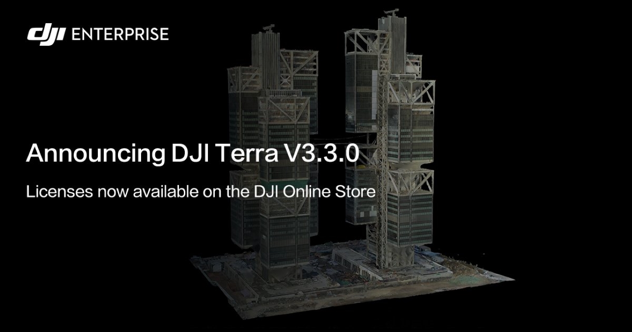
DJI Terra is an all-in-one drone mapping solution that contains all the resources that surveyors or project managers need to plan, visualize, process, and analyze aerial data. The software has now been updated to version 3.3.0 to improve both the product features as well as the processing speed of Terra. Here’s what’s new…
The 3D reconstruction speed in the software has been increased by 25%. In addition, model volume in several formats (.b3dm, .osgb, .s3mb) have been reduced by up to 30% to improve user experience.
Another highlight is that DJI Terra now supports 2D reconstruction with Map Grid, which sets grid length and divides digital orthophoto maps (DOM) and digital surface models (DSM) into grids. You can also generate downsampled DSM in 2D reconstruction for urban scenes, which can be used in terrain follow flight missions.
The software update further allows for simultaneous 2D and 3D reconstruction in a single mission. For 2D reconstruction, ensure that the camera tilt angle of at least three images is less than or equivalent to 35 degrees. You can also use the new Reconstruction Parameter Checklist to ensure accuracy before reconstruction. In the meantime, DJI has fixed the issue where cluster reconstruction would fail due to local network instability.
Version 3.3.0 further adds support for detailed inspection missions with flight route waypoint checks to ensure flight safety. Meanwhile, if you’re processing point cloud data collected by Zenmuse L1, you will be able to modify base station coordinates. DJI has also added support for adjusting the height offset of point cloud data collected by Zenmuse L1.
Also read: DJI Inspire 2 being discontinued to make way for Inspire 3?
There are several other improvements, optimizations, and fixes that make DJI Terra version 3.3.0 a notable update. These include:
- Support for sorting and filtering in Mission Library.
- Support for modifying feature point density.
- Support for setting aerotriangulation coordinate system in XML file.
- Support for Auto Rotate.
- Mission Library and Reconstruction pages updates to improve user experience.
- Support for using mission name as folder name to view reconstruction output easily.
- Addition of Japanese, Korean, German, Spanish, French, and Russian language options for Quality Report.
- Support for importing mark files after marking points in multiple devices.
- 3D model background has now been updated to black.
- Support for detailed inspection mission with point cloud files displayed by height, returns, or reflectivity.
- Adds quick measurement for Map.
- Support for defining ROI for 2D and 3D reconstruction separately.
- Support for copying ROI from 2D to 3D and vice versa.
- Support for viewing camera POS in Reconstruction.
- Fixes occasional issue where there is low reconstruction efficiency when using high-performance computer.
- Fixes issue where worker device cannot be searched or applied when they are many worker devices in cluster reconstruction.
- Fixes issue where noise is produced when selecting 3D reconstruction circling scenario.
- Fixes issue where reconstruction fails after modifying parameters of previous aerotriangulation result.
- Fixes issue where altitude of DSM is incorrect when altitude of projected coordinate system is in imperial units.
- Fixes issue where size of 2D reconstruction file increases when projected coordinate system is in imperial units. Also fixes the occasional issue where there is no response during 2D reconstruction.
- Fixes issue where power lines are layered after enabling Optimize Point Cloud Accuracy in Zenmuse L1.
- Fixes issues where GNSS data in OEM6 format collected by Zenmuse L1 fails to perform point cloud processing.
- Fixes issue where LiDAR flight route file in TXT format is incorrectly stored.
Find out more details about DJI Terra version 3.3.0 here.
Read more: Litchi unlocks autonomous missions, tracking, follow modes for DJI Mini 2, Mini SE, Air 2S
FTC: We use income earning auto affiliate links. More.


Comments