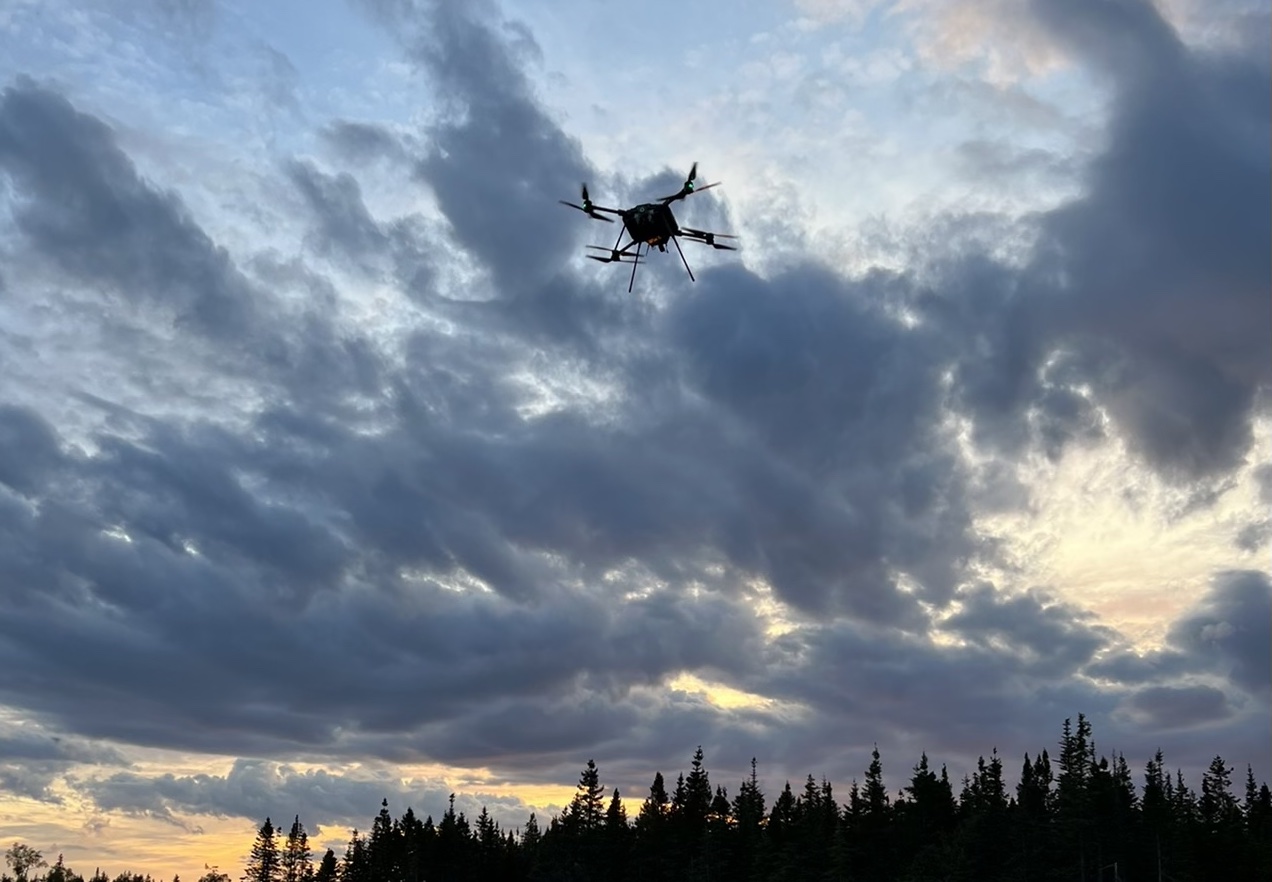
Aerial geophysical mapping specialist Overhead Intelligence has used a drone equipped with Iris Automation safety avionics tech to operate a combined extended visual line of sight (EVLOS) and beyond visual line of sight (BVLOS) magnetometer survey mission over a wide area of Canadian mineral deposits.
The large project in Canada’s Newfoundland and Labrador aims to complete a magnetometer survey of the province’s vast mineral deposits, requiring accurate data collection and processing over an enormous expanse of land. Covering that range involves Overhead Intelligence operating drones in EVLOS and BVLOS missions, using Iris Automation’s Casia I safety avionics to ensure secure, collision-free aerial operation.
Florida-based Overhead Intelligence also turned to Iris Automation to navigate the process for obtaining Transport Canada’s Special Flight Operations Certificate (SFOC) required for EVLOS and BVLOS drone flights – which in this case cover up to 500 line-km, or about 20 km2. Using its acquired experience, Overhead Intelligence intends to secure additional SFOCs in coming months to conduct surveys across Canadian Mineral Exploration districts.
Read: Iris Automation adds TruWeather tech to Casia G system
By the end of the 2022 field exploration season, Overhead Intelligence plans to have mapped a total of 50,000 line-km.
Use of Iris Automation avionics-equipped drones to enable Overhead Intelligence EVLOS and BVLOS flights provides a range of advantages over using traditional aircraft for surveys.
In addition to the far lower price tags involved, UAVs fly closer to the ground, capture higher resolution data, and substantially reduce the overall risk of airborne mapping missions by removing personnel from the air. The craft also cover massive areas of terrain quickly, coming back with complete and reliable data.
Its partnership with Iris in the EVLOS and BVLOS drone surveying project allowed Overhead Intelligence to successfully complete an operational and safety certification process that can be formidable in the best of cases, says company director Roger O’Neill.
“A drone operator faces a laundry list of barriers when trying to deploy UAV systems for large scale mapping projects… (and) as a result, most mapping customers choose crewed aircraft for large and complex data collection campaigns,” O’Neill said. “Iris’s products and services are an example of top-class, relatively off-the-shelf integrations that actually help solve some of the biggest issues in the industry. Achieving and deploying this SFOC is a significant step towards our goal of fully automating the airborne mapping process. We can now push our mapping systems to the limit of their capabilities, which will be a massive disruption to the airborne mapping and geospatial collection industry in coming months.”
Read: Iris Automation, APS jump-start FAA-approved pipe inspections
The next step, says Iris’s vice president of customer success, sales and marketing, Lori DeMatteis, will be to assisting Overhead Intelligence achieve that fully automated EVLOS and BVLOS drone surveying process.
“Autonomy unlocks the next century of growth in aviation by dramatically improving safety, cost efficiency and productivity with the amount of data gathered across larger distances,” DeMatteis says. “The work Overhead Intelligence has done is a prime example of this – scaling drone operations massively while seeing big benefits in both productivity and reduced costs.”
FTC: We use income earning auto affiliate links. More.


Comments