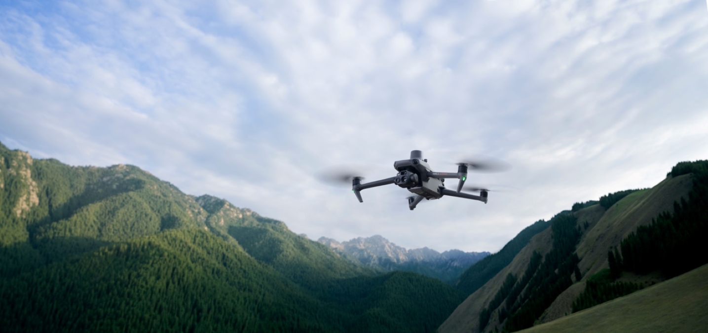
The DJI Mavic 3 Enterprise drone series is gaining a ton of new functionality with a major firmware update released today.
The Mavic 3 Enterprise is DJI’s latest portable commercial drone series. It comes in two versions: the $3,628 Mavic 3E and the $5,498 Mavic 3T (the T indicates a thermal sensor). While the Mavic 3E is designed primarily for mapping and surveying functions, DJI Mavic 3T targets firefighting, search and rescue, inspections, and night missions.
The new software package available to download and install now brings the aircraft firmware of Mavic 3E/3T up to v06.01.06.06, while the remote controller firmware can now be updated to v02.00.04.07. At the same time, DJI Pilot 2 App and DJI Assistant 2 can be updated to v6.1.1.1 and v2.1.7, respectively.
Read: Stuck in snow, man gets help by tying phone to DJI drone
Here are the complete release notes from the new DJI Mavic 3 Enterprise firmware update:
- Added Terrain Follow feature for flight tasks:
- Smart Oblique and Linear tasks support both Real-Time Follow and DSM Follow.
- Oblique tasks only support DSM Follow.
- Added POI function. The aircraft can circle and fly around a PinPoint to obtain omnidirectional information about the target.
- Added ability to customize the camera angle for mapping tasks. When planning a flight route, the aircraft orientation and gimbal pitch angle can be set for the route. This is highly convenient for inspections of specific scenarios, such as solar panels.
- Added ability to execute flight tasks during flight for fast and efficient execution of flight tasks at the current location. Tap the flight route icon to create or select a flight task on the camera or map view of the DJI Pilot 2 app.
- Added ability to set Safe Takeoff Altitude for flight tasks to improve flight safety. This parameter setting is only valid when the aircraft executes a flight task before takeoff. If the aircraft starts a flight task during flight, the safe takeoff altitude will not take effect.
- Added ability to create mapping or oblique tasks by selecting an area in the map view. This is convenient to generate a flight route after synchronizing the mapping area planned on DJI FlightHub 2 to the DJI Pilot 2 app.
- Added ability to import MBTiles format maps downloaded from Maptiler. The map layer can be customized in the DJI Pilot 2 app.
- Added the ability to export logs by different modules in the DJI Pilot 2 app.
- Added encryption for Network Security Mode in the DJI Pilot 2 app. After setting a password, users can only change the Network Security Mode or adjust the function settings after entering the password.
- Optimized Real-Time Follow. The minimum altitude is adjusted from 80 m to 30 m. The altitude for Real-Time Follow is updated to 30-200 m.
- Optimized firmware update prompt in the DJI Pilot 2 app.
- Fixed the issue of the aircraft returning too slowly if RTH is triggered from a short distance.
- Fixed the issue of the RTH altitude not updating timely on the DJI Pilot 2 app.
- Fixed the rare issue of the aircraft vibrating when the aircraft orientation is adjusted during manual flight.
- Added ability for Mavic 3T to adjust infrared temperature measurement parameters, such as subject emissivity and temperature measurement distance.
Restart the aircraft and remote controller after the update is complete. If the update fails, restart the aircraft, remote controller, and DJI Pilot 2 or DJI Assistant 2 (Enterprise Series), and retry. Also, make sure the firmware of the aircraft and the remote controller, and DJI Pilot 2 all are on their latest versions. Otherwise, usage may be affected.
Read: DJI Mavic 3M multispectral drone gets Terrain Follow, POI features with new firmware update
FTC: We use income earning auto affiliate links. More.


Comments