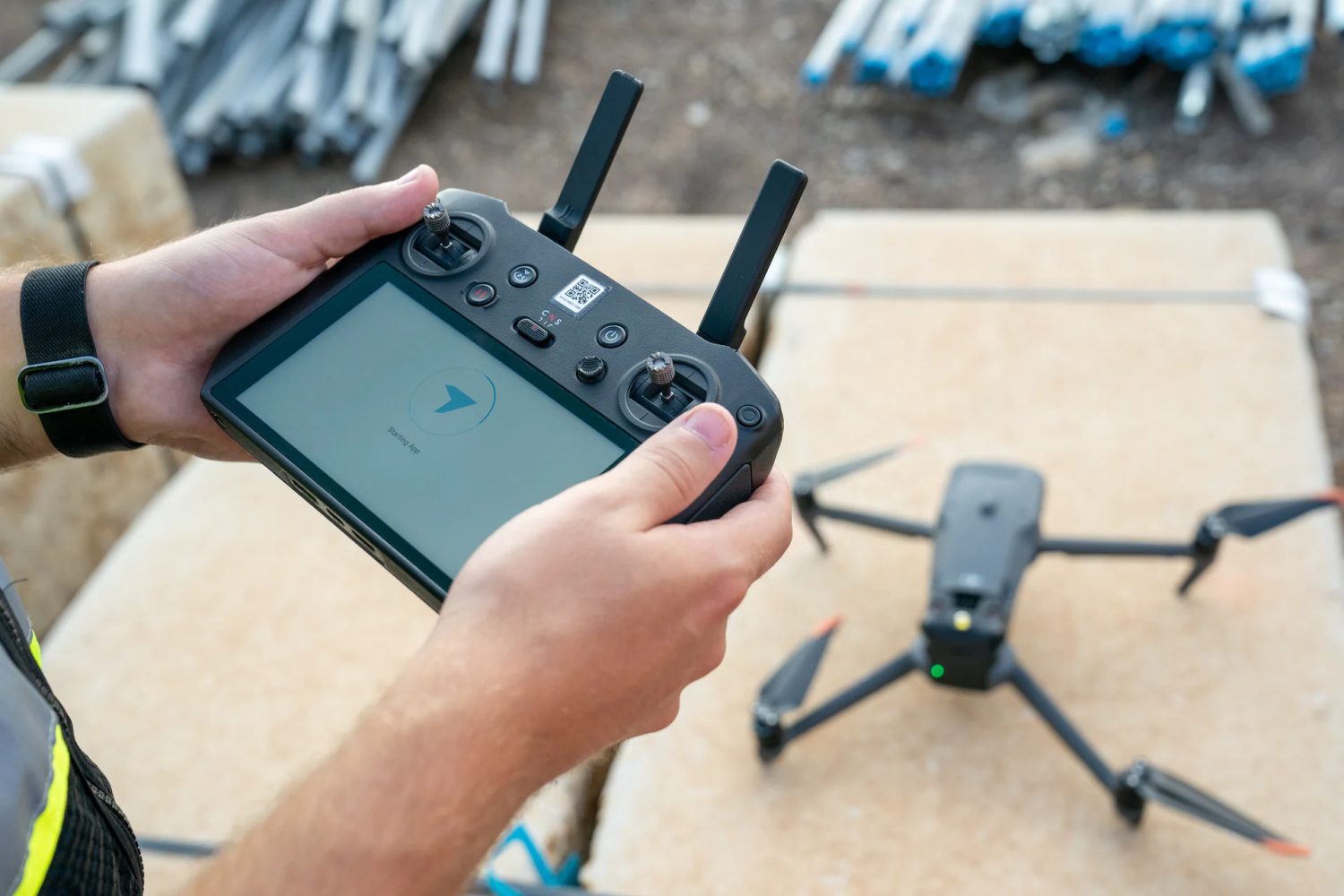
DroneDeploy customers flying their DJI drones at large sites, or in remote areas, can now create high-accuracy maps without relying on Real-Time Kinematic (RTK) connectivity. The drone management company has launched a new unified reality capture platform, following the acquisition of StructionSite, and it comes with support for drag-and-drop Post Processed Kinematic (PPK) functionality for all DJI RTK-equipped drones.
Like RTK, PPK is also a GPS corrections technology that increases the precision of geotagged image data. Broadly, RTK uses GPS correction while capturing images while PPK corrects the location after photos are taken.
So, if you’re flying outside of an RTK coverage area or somewhere with poor internet connectivity, the new DroneDeploy platform will now automatically apply corrections to your images, resulting in a highly accurate map. You can check out a step-by-step guide on how this functionality works here.
Further, the new platform empowers you to analyze the terrain of your worksite more accurately. DroneDeploy now uses machine learning image segmentation in the processing pipeline to automatically “flatten” unwanted elements such as structures, conveyors, trees, vegetation, and other non-terrain artifacts. So, instead of wasting time cleaning up unwanted structures, you can now quantify the underlying terrain directly and generate more accurate volumetrics.
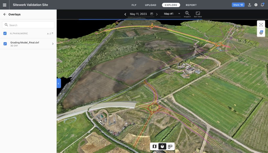
Another interesting update comes in the form of a new 3D visualization layer which is available only to Advanced, Teams, and Enterprise subscription accounts at present. You can now visualize vector drawings and surface models (such as underground utilities, 3D designs, and grading files) layered directly on top of your 3D data in DroneDeploy using 3D DXFs.

This is important because seeing 3D surface models and linework alongside 3D aerial data helps avoid utility strikes, visualize design intent, and compare reality to your plans.
Also read: UK moves closer to allowing everyday drone delivery with new trials
In addition, all DJI Mavic 3 Enterprise drone users with paid accounts can now send data to DroneDeploy without removing their SD card. This eliminates the manual steps between flight and processing and helps you get your data faster. The mobile upload process occurs in two steps. First, your images are transferred from the drone to your mobile device. Second, the photos are uploaded from your mobile device to DroneDeploy.
But that’s not all. There are a ton of innovative and useful features in the new DroneDeploy platform and you may want to check out this blog post by the company for a high-level overview of the highlights. It’s worth mentioning that DroneDeploy is celebrating its 10th anniversary this month, and a key vision of the company is to make reality capture easy, accessible, and valuable to everyone. Here’s CEO and cofounder Mike Winn:
Over the next decade, we want to use the latest advancements in AI to build broader tools that work in every situation. Where you can type or dictate requests directly into our platform and get back the exact insights you need to understand any aspect of your project. Like magic.
Read more: NYC Central Park to host its first-ever drone show this weekend
FTC: We use income earning auto affiliate links. More.


Comments