
DroneDeploy

See All Stories

DroneDeploy brings AI-powered site visibility to Irish housing projects

dronedeploy irish housing construction drones

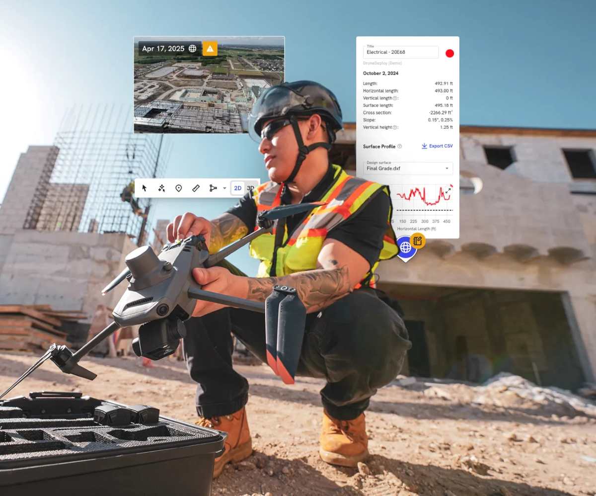
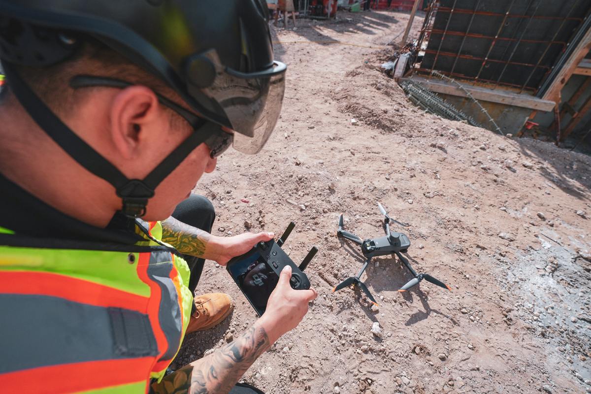
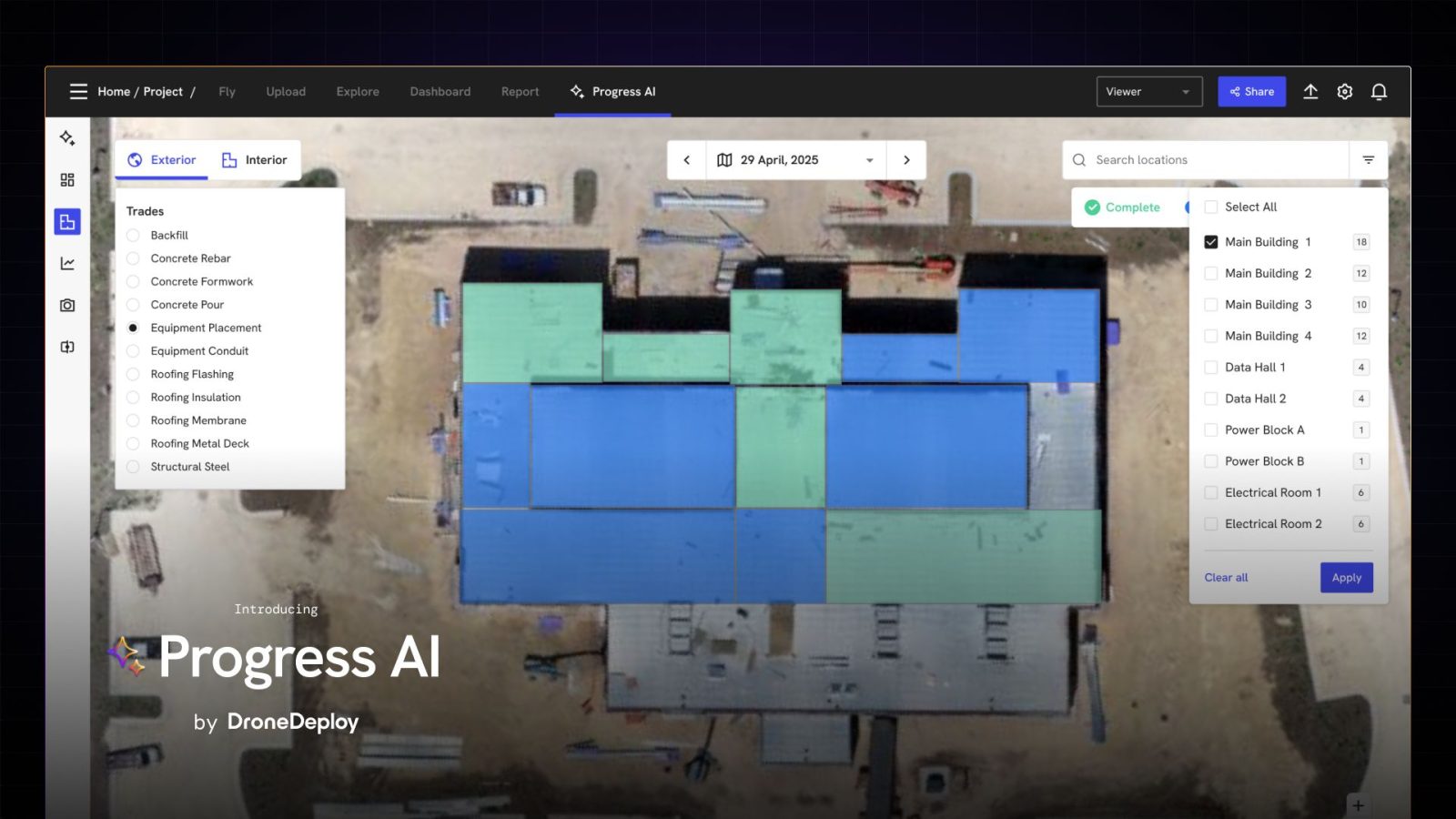
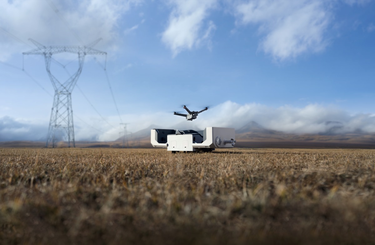
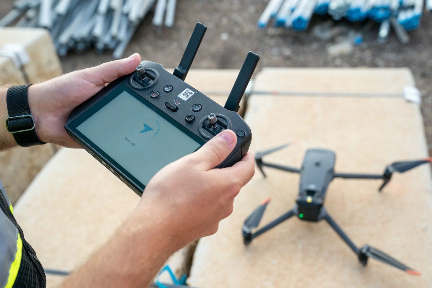
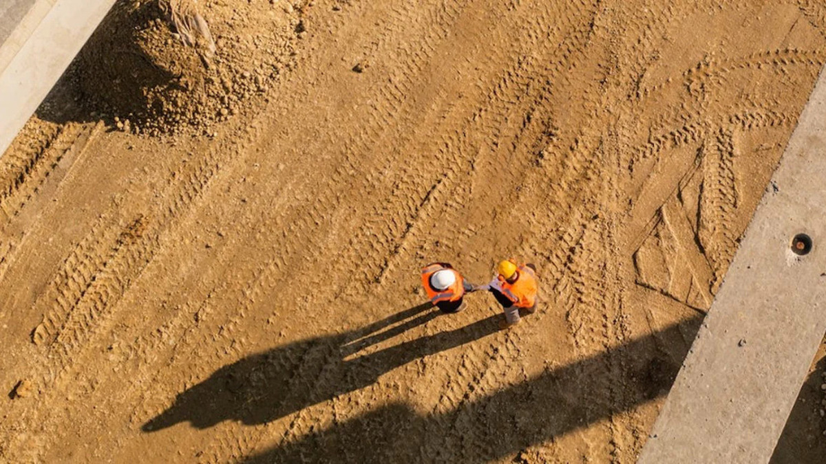
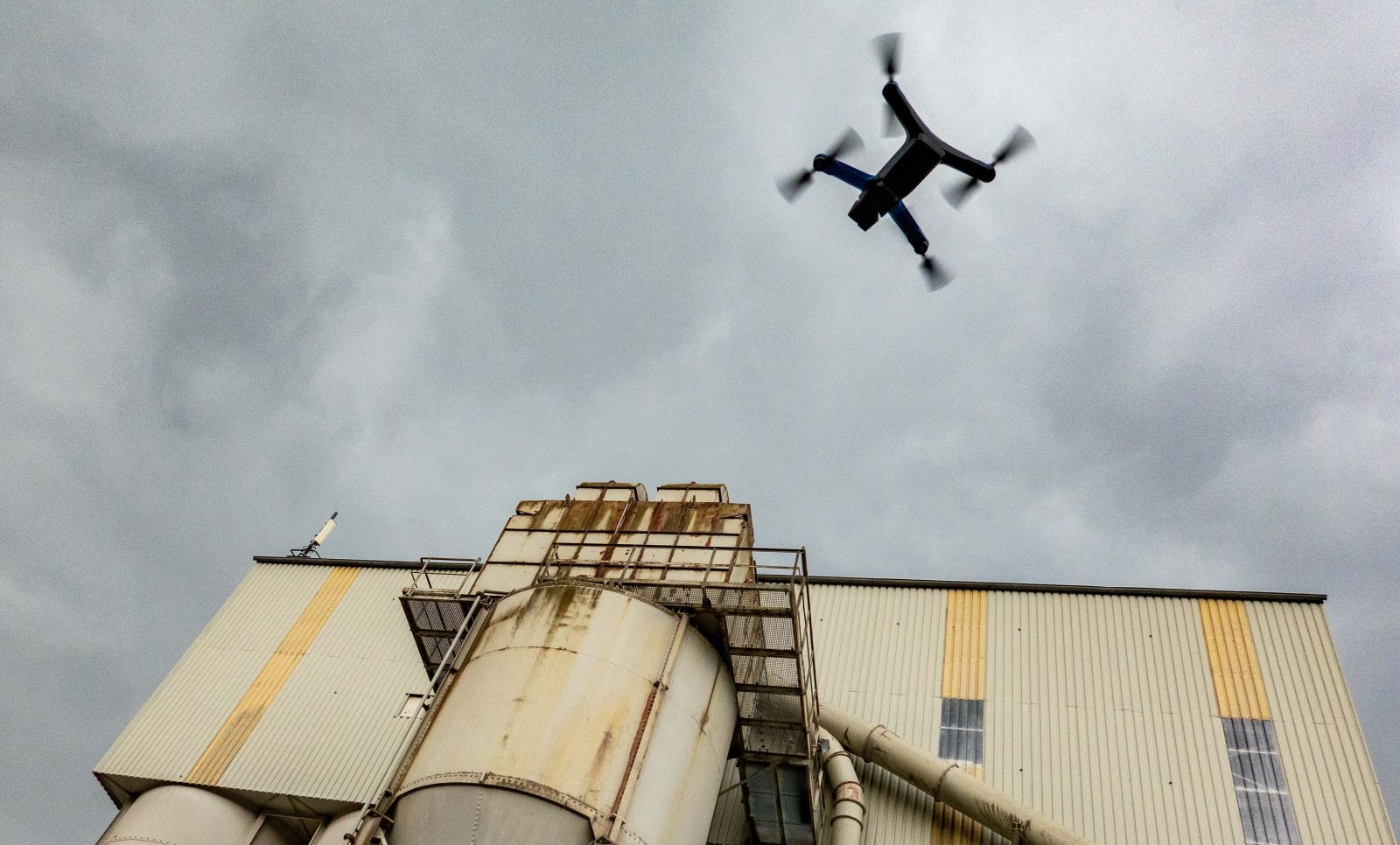
If there’s one thing construction teams everywhere can agree on, it’s this: visibility is everything. And now, DroneDeploy is doubling down on that idea through a new partnership with Cairn Homes — Ireland’s leading homebuilder — to bring advanced drone reality capture tech across more than 25 residential developments. The goal? Make construction smarter, safer, and far more data-driven.

Expand Expanding Close

DroneDeploy hits break-even, lands $15M to supercharge AI

dronedeploy dji drone funding breakeven

DroneDeploy just hit a major milestone, and it could reshape the future of construction, inspection, and site management for drone pilots everywhere. The reality capture leader has officially reached break-even, meaning it’s now fully self-sustaining. Instead of chasing profitability, the company can plow every dollar it earns straight into product development, and its first move is big: a $15 million strategic raise dedicated entirely to advancing its AI and robotics offerings.

Expand Expanding Close

DroneDeploy’s new AI tool turns drone flights into instant progress reports

dronedeploy Progress AI

For drone pilots who already map construction sites with drones and 360‑degree cameras, your imagery just got a lot more valuable. DroneDeploy has unveiled Progress AI, an agentic vision‑language model (VLM) that chews through aerial maps or 360 panoramas and spits out color‑coded progress reports — in about the time it takes to grab a coffee.

Expand Expanding Close

FAA expands DroneDeploy’s reach with nationwide BVLOS authorization

dji dock dronedeploy beta support flights

The Federal Aviation Administration (FAA) has granted DroneDeploy a nationwide waiver for Beyond Visual Line of Sight (BVLOS) drone operations, allowing the company to oversee large-scale construction projects remotely. Expectedly, the use of autonomous drones for monitoring critical infrastructure across the US can go up significantly.

Expand Expanding Close

DroneDeploy launches Safety AI to cut construction site hazards

dronedeploy safety ai

Reality capture and drone data management specialist DroneDeploy has introduced Safety AI, a new tool designed to automatically identify safety risks on construction sites. This innovative solution, which uses proprietary artificial intelligence and models from Google and OpenAI, aims to help contractors meet OSHA standards more effectively.

Expand Expanding Close

DroneDeploy begins drag-and-drop PPK processing for DJI drones

dronedeploy flight app dji mavic 3 enterprise automated rtk drone

DroneDeploy customers flying their DJI drones at large sites, or in remote areas, can now create high-accuracy maps without relying on Real-Time Kinematic (RTK) connectivity. The drone management company has launched a new unified reality capture platform, following the acquisition of StructionSite, and it comes with support for drag-and-drop Post Processed Kinematic (PPK) functionality for all DJI RTK-equipped drones.

Expand Expanding Close

DroneDeploy has acquired robotic software company Rocos

DroneDeploy Rocos Robots

Drones and ground-based robots are starting to work together. When it comes to enterprise work, particularly industrial inspections and surveillance, you just can’t beat the combination when it comes to some applications. And so it’s both not surprising and pretty forward-thinking that DroneDeploy has acquired New Zealand-based robotic software company Rocos.

Expand Expanding Close

Over 400 DJI drones in world’s largest agricultural drone fleet

Over 400 DJI drones in world's largest agricultural drone fleet

More than 400 DJI drones are used in what is currently the world’s largest agricultural drone fleet. Corteva Agriscience™, Agriculture Division of DowDuPont, announced today a global partnership with DroneDeploy to use their software for its agricultural business operations in the U.S., Europe, Canada, and Brazil. DJI’s drone technology in combination with DroneDeploy’s Live Map giving real-time insights to plant health, will change the way farmers manage their crops.


Expand
Expanding
Close