One-click drone reality capture specialist SkyeBrowse has launched a new, completely free rapid 2D aerial mapping software. The service allows you to generate 2D maps from drone videos in minutes!
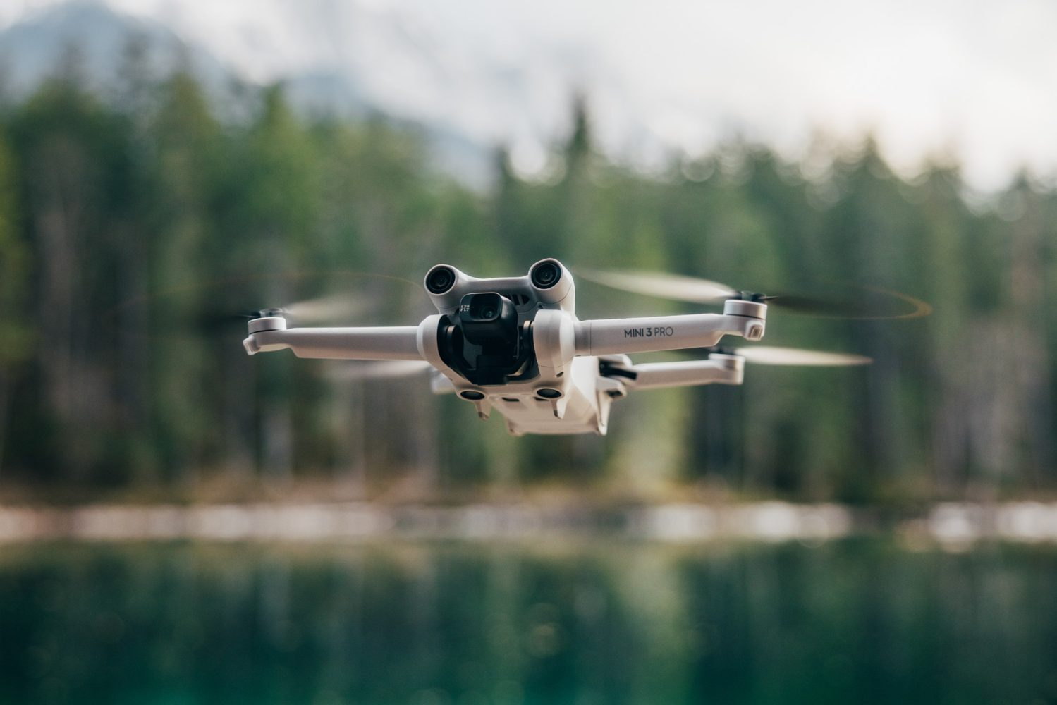
SkyeBrowse is a public safety-focused platform popular for its innovations. More than 300 organizations across the US use it to create 3D models from DJI or Autel drone videos. But this time, the company is utilizing its proprietary videogrammetry technology to helps users generate free 2D maps from any drone video.
New: DJI Avata FPV drone is 30% off right now in rare deal
As founder Bobby Ouyang explains, acquiring a quality 2D map has typically been a complex and costly process, requiring expensive subscription services and steep learning curves associated with intricate software. The map generation itself can take hours or sometimes even days. Therefore, high-level aerial mapping analytics has long been restricted to well-funded and technologically equipped players.
“SkyeBrowse’s new software shatters these barriers, offering a streamlined, cost-free alternative,” says Bobby. “The service is tailored for inclusivity, allowing small business owners, hobbyists, NGOs, and educators to benefit from the same advanced aerial data analytics that have been exclusive to industry heavyweights.”
Here’s how you can convert your drone video into a 2D map:
- Visit https://lab.skyebrowse.com/
- Enter your email and upload your video.
- Accept the terms and submit your video for processing.
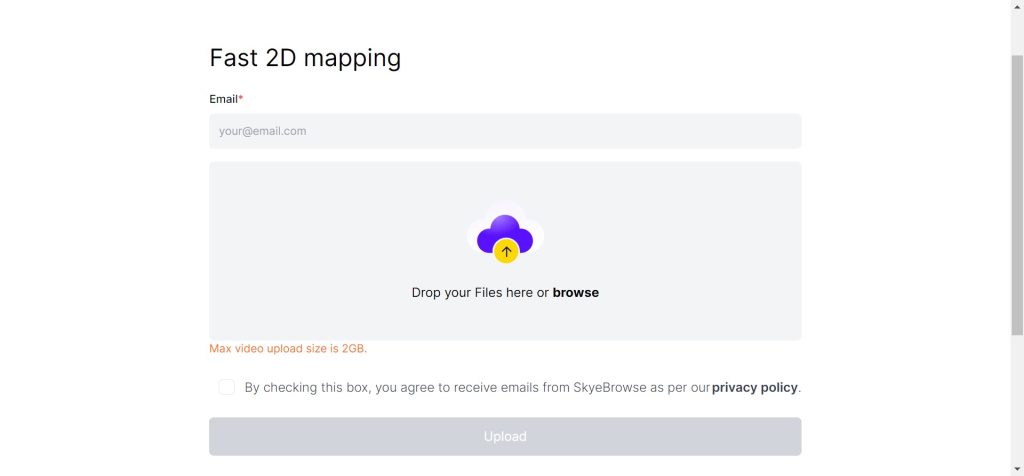
Your video will process in minutes and you’ll get an email with a link to your 2D map.
SkyeBrowse says 1080p WideBrowse videos work best with its free 2D mapping software. These can be obtained using the SkyeBrowse flight app, which is available to download on both the Apple App Store and Google Play Store.
Also read: New survey-grade drone camera comes with a 128MP sensor
FTC: We use income earning auto affiliate links. More.


Comments