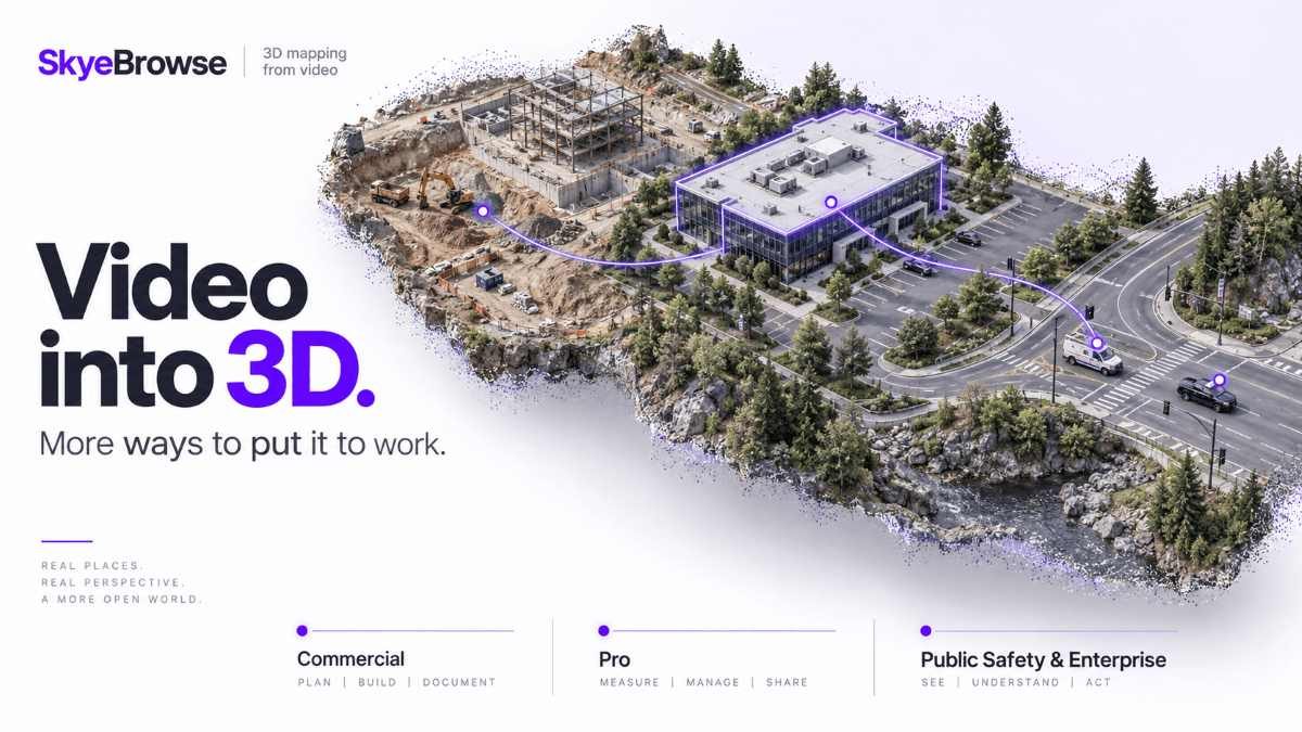
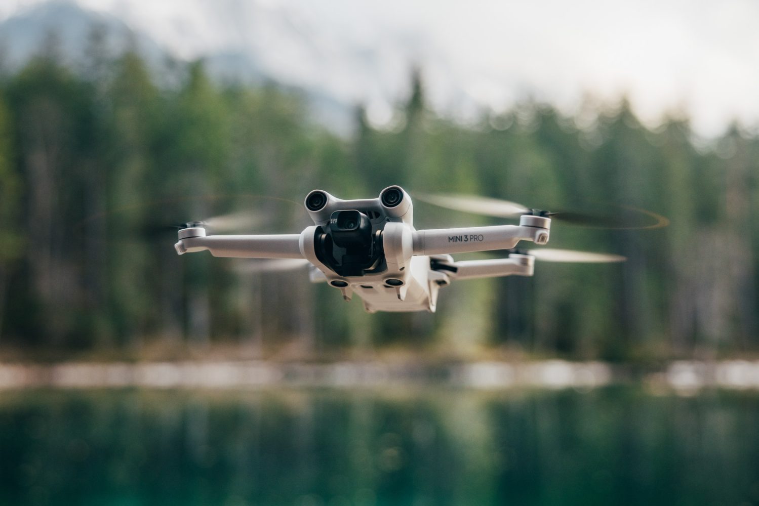
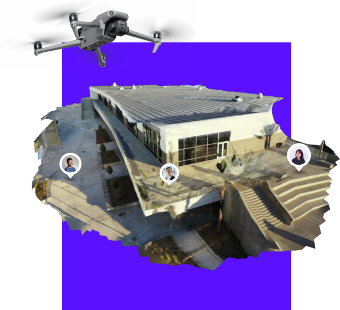
From dirt volumes to camera blind spots, SkyeBrowse adds new tools

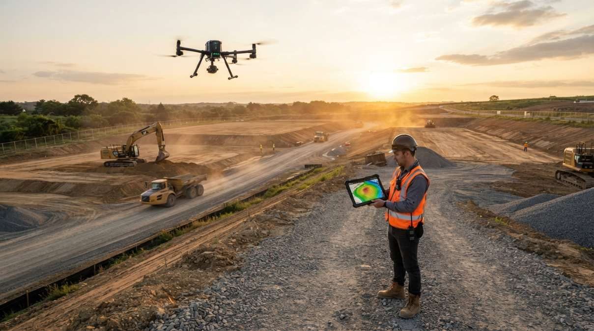
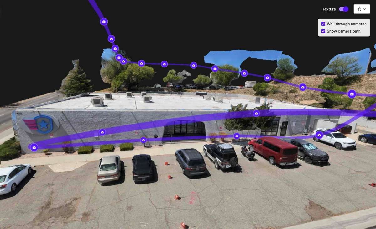
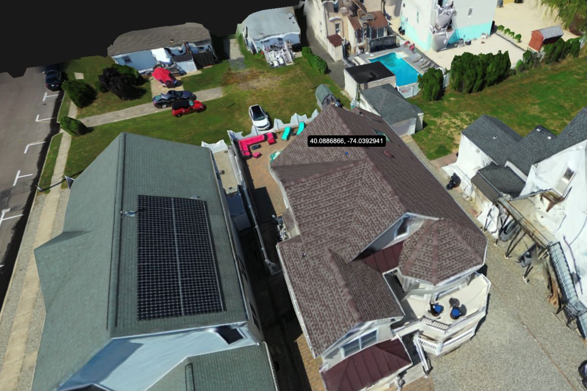
Drone mapping teams can now compare 10 site surveys, calculate cut-and-fill volumes, check accuracy against ground control points, and plan security camera placement directly in SkyeBrowse.
Expand Expanding Close