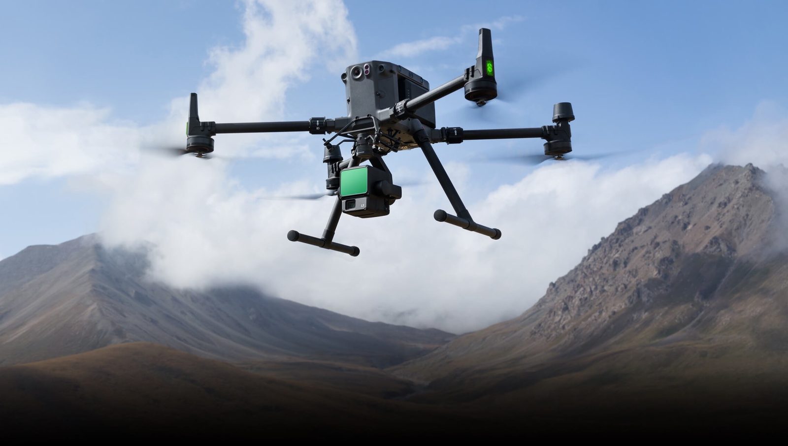
DJI has released new firmware updates for Matrice 300 (M300) RTK and Matrice 350 (M350) RTK, making the company’s flagship commercial drones compatible with the new Zenmuse L2 aerial LiDAR payload.
Building on the legacy of its predecessor, Zenmuse L1, the new payload features an enhanced RGB camera, upgraded LiDAR module, and improved accuracy. The L2 becomes a turnkey solution for 3D data collection and high-accuracy post-processing when used with DJI Terra drone mapping software.
Notably, DJI has built a new in-house IMU system for the payload, allowing it to achieve the 4cm vertical and 5cm horizontal accuracy required for 1:500 high-precision terrain surveying. The RGB mapping camera, meanwhile, features a 4/3 CMOS sensor with a mechanical shutter and an enlarged pixel size of 3.3 μm. The effective pixels produced with the system now reach 20MP, resulting in a significant improvement in overall imaging, as well as more enriched colorized point cloud details.
It’s also worth mentioning the Zenmuse L2 boasts a 30% increase in detection range. Further, the typical operational altitude extends to 150 meters, thus enhancing the system’s safety and efficiency.
The L2 comes with a reduced spot size of 4×12 cm @100m, which is only a fifth of that of the Zenmuse L1. As such, the sensor not only detects smaller objects with more details for highly accurate digital elevation models (DEMs), but it also supports five returns, capable of penetrating denser vegetation and capturing more ground points beneath the foliage.
To use the payload with M300 RTK drones, operators must upgrade the aircraft firmware to v07.00.01.00 (DJI Smart Controller Enterprise) and v58.00.00.09 (DJI RC Plus). Users of M350 RTK, meanwhile, will need to update their aircraft firmware to v08.00.00.03. Refer to the complete release notes of M300 RTK here and M350 RTK here.
Read here: DJI Avata FPV drone is 30% off right now in rare deal
FTC: We use income earning auto affiliate links. More.


Comments