DJI has released a new update for its all-in-one drone mapping software Terra. The update comes with support for the newly unveiled Zenmuse L2 aerial LiDAR payload.
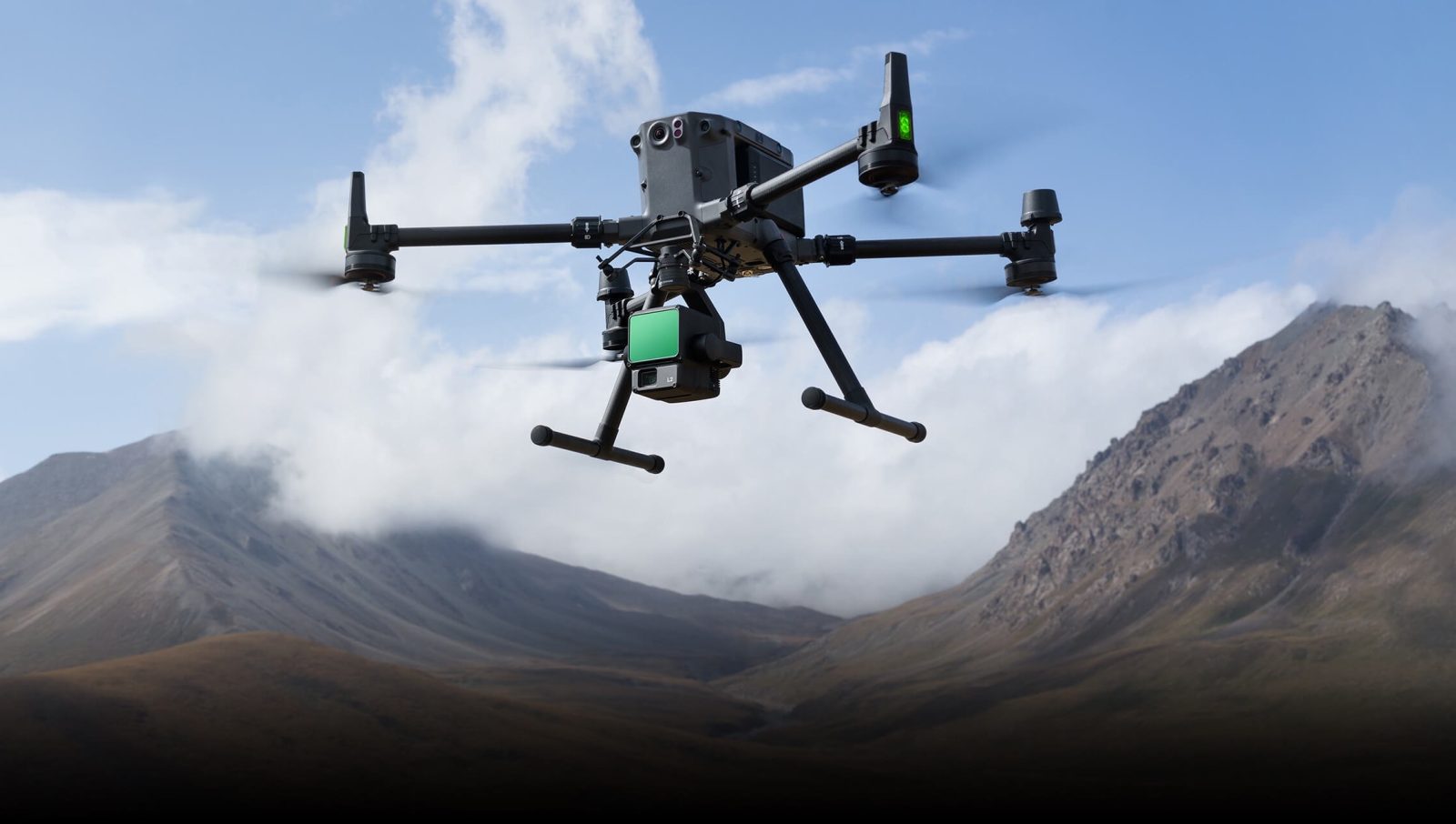
The L2 is built for the DJI Matrice 300 RTK and the Matrice 350 RTK platforms and requires an RC Plus remote controller to function. When used in conjunction with DJI Terra drone mapping software, the L2 becomes a turnkey solution for 3D data collection and high-accuracy post-processing.
According to DJI, it has built a new in-house IMU system for Zenmuse L2, allowing it to achieve the 4cm vertical and 5cm horizontal accuracy required for 1:500 high-precision terrain surveying. The system is also ready for use the moment it’s powered on, which makes it ideal for inspection professionals. In addition, the IMU system’s enhanced environmental adaptability improves its operational reliability and precision.
So, what exactly is new in version 3.9.0 of DJI Terra, which is now available to download? Here are the key highlights:
What’s new
- Supports processing data collected by Zenmuse L2.
- Supports enabling PPK calculation function (only supports data collected by Zenmuse L2 in mainland China).
- Supports calibrating Zenmuse L2. The option of Zenmuse L1 calibration is updated to LiDAR Calibration. LiDAR calibration can now calibrate both Zenmuse L1 and L2.
- Supports importing altitude control points for LiDAR point cloud reconstruction mission. Accuracy Check is updated to Accuracy Control and Check.
- Supports exporting XML files containing tie points and images with POS data for visible light reconstruction missions. The XML files can be imported to third-party software for 2D/3D reconstruction.
- DJI Terra Quality Report for LiDAR Point Cloud Processing now has a new version and supports outputting flight parameters, IMU Trajectory Error, Check Point RMSE, and other parameters.
What’s updated
- Optimized the Smooth Point Cloud function. Point cloud density will be reduced to about 1/3 of the v3.8 version after enabling this function.
What’s fixed
- Fixed the issue where the reconstruction effect is poor or an error message (1005) is displayed when there is image data from multiple cameras or in different resolutions in a folder because camera parameters are not configured by users.
- Fixed the issue where the annotation and measurement function is unavailable when there is no output for the LiDAR point cloud reconstruction mission on DJI Terra v3.8.
Check out the complete release notes shared by the tech giant here.
Also read: This pocket drone raised $1.8M through crowdfunding. It’s now available on Amazon
FTC: We use income earning auto affiliate links. More.


Comments