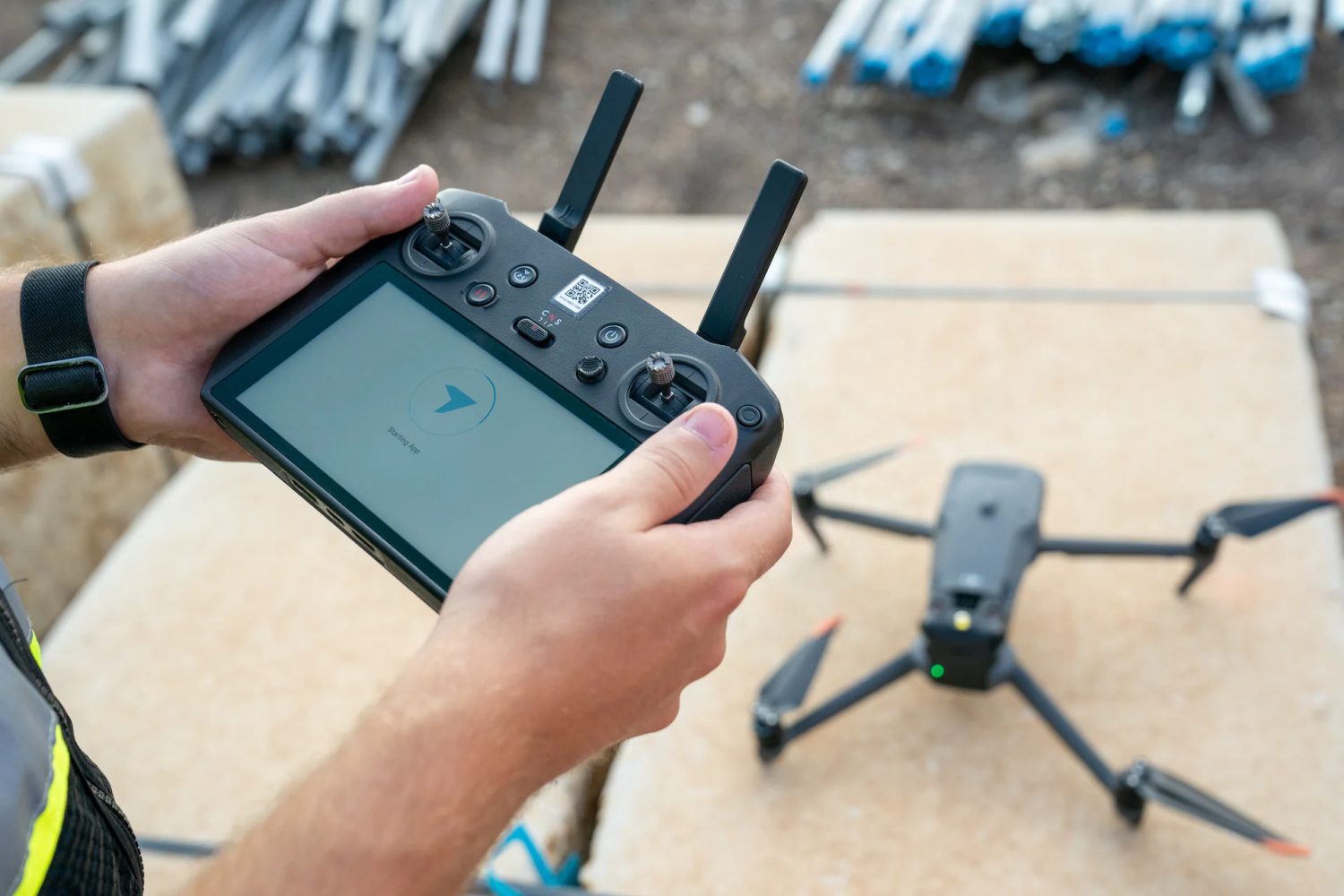
Reality capture and drone data management specialist DroneDeploy is giving users a sneak peek into its upcoming January 2024 product update.
The company says that, before the holidays, it gave 80 software engineers four days to work on many features accumulated through wish lists and sprint reviews throughout the year. At the end of the week, the team was able to refine and create new code for over 50 platform improvements spanning from simple UI/UX fixes to new features for navigation and viewing of drone maps and models.
Also read: New Autel Alpha drone gets FCC approval for US launch
Here are the top five features and improvements from that list:
- New camera and auto-rotation controls: For users who want to create animations of their aerial models for presentation purposes, the 3D team added a new Turntable mode that automatically rotates the model and allows for manual manipulation of the speed of the animation.
- New Flythrough mode for drone videos: If you’d rather create an immersive FPV-style flythrough of your drone video, the DroneDeploy team has now added the ability for users to select keyframes based on the current camera position and then control the start time and animation speed.
- New 3D map view cube: The DroneDeploy platform is adding the “view cube” icon in the upper right-hand corner to switch views in the 3D model quickly. This feature has become an industry trend for most 3D modeling/viewers in the market today, and DroneDeploy didn’t want to be left behind.
- New map selector navigation using arrow keys: As DroneDeploy’s product marketing lead Jarrod Krug explains, switching between different maps by date in the Exterior View Mode as well as the Map Comparison Mode currently requires a mouse click on the new map date. Users find that process to be rather tedious, which is why the new update will allow users to leverage their up and down keyboard arrows to advance to their next selection – sans mouse.
- Machine learning applied to all digital terrain models: One of the dynamics that occurred when using DroneDeploy to calculate stockpiles with equipment that happened to be in the way was the machine itself being part of the stockpile definition and calculation. Now, by fully deploying machine learning to all digital terrain models (DTMs), the platform is able to automatically omit things like conveyor belts, backhoes, and buckets.
While most of these features will become available to DroneDeploy subscribers in the January 2024 release, the DTM enhancement has already been rolled out for all AEC Enterprise subscribers.
Here are some of the many other improvements not listed above:
- Better map processing for new drones and multispectral cameras
- Audit log improvements
- Media sharing upgrades
- BIM improvements
- DJI Mavic 3 Enterprise drone improvements
- Data processing improvements
Also read: Large-scale monitoring solution for tethered DJI, Autel drones
FTC: We use income earning auto affiliate links. More.


Comments