Anyone flying a drone in the United Kingdom is responsible for flying within the guidelines and regulations established by the Civil Aviation Authority (CAA). That means it’s your responsibility as a drone pilot to understand the rules and identify safe flying areas. This is where the Drone Scene platform steps in to assist you.
Generally, the CAA’s main rules and advice can be found in its Drone and Model Aircraft Code. But broadly, the UK’s drone laws are based on the risk of the flight – where you fly, the proximity to other people, and the size and weight of your drone.
So, if your drone has a camera (unless it is a toy) or weighs 250g or more, you are required to register with the CAA. Moreover, you need to renew this registration every year since this is a registration of you as the operator rather than the drone itself.
Other key regulations include:
- Never fly more than 120m (400ft) above the surface
- Always keep your drone or model aircraft in sight
- Never fly in an airport’s flight restriction zone unless you have permission
That said, drone operators also need to consider any other restrictions and legitimate interests of statutory bodies such as Local Authorities, many of which have established local byelaws. These byelaws often restrict the take-off/landing of drones from council land. Such a restriction, on its own, is not an airspace restriction and therefore is not always reflected in drone-specific alerts and advice.
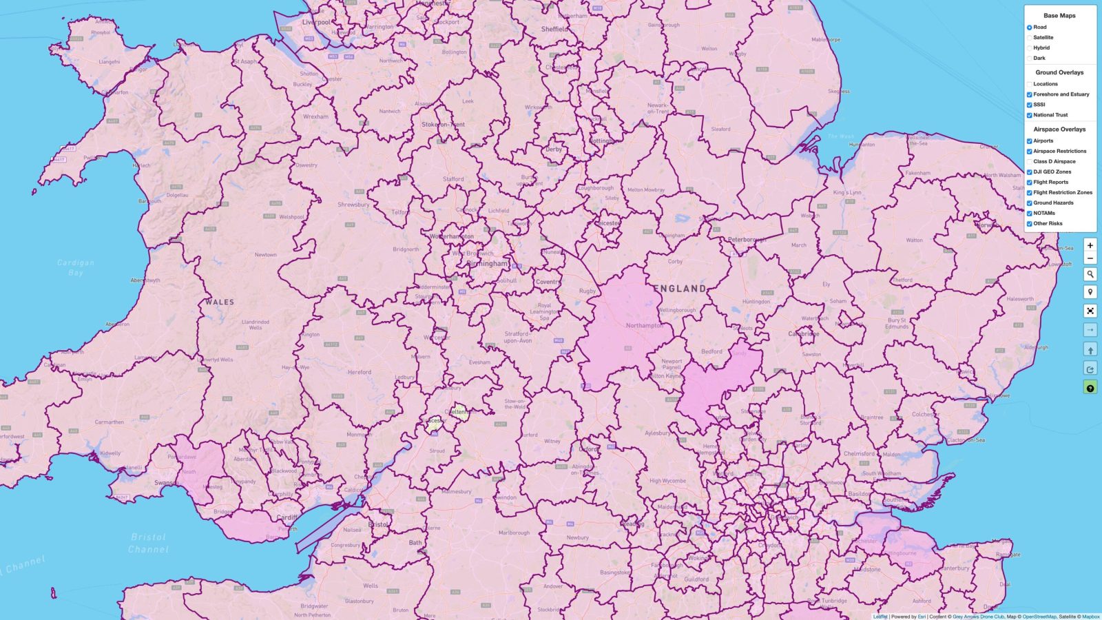
The CAA says it cannot provide advice on what is, or is not, a legitimate interest or whether restrictions or fees are being lawfully imposed by other authorities. But the Drone Scene platform, operated by the Grey Arrows Drone Club, has integrated over 370 Local Authority byelaws and policies governing the recreational use of drones in the UK.
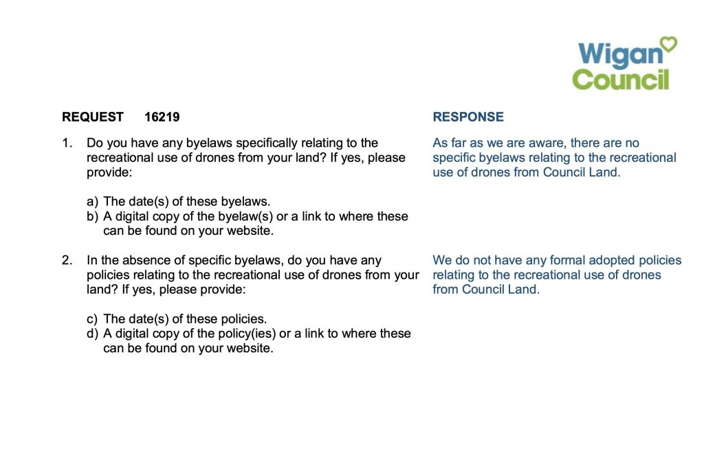
This comprehensive data mapping comes as a result of more than 370 Freedom of Information (FOI) requests submitted to Local Authorities throughout England, Scotland, Wales, and Northern Ireland in March 2024. The FOI request sought detailed information regarding the authorities’ regulations on the recreational use of drones from land under their jurisdiction. See a sample query and its response below:

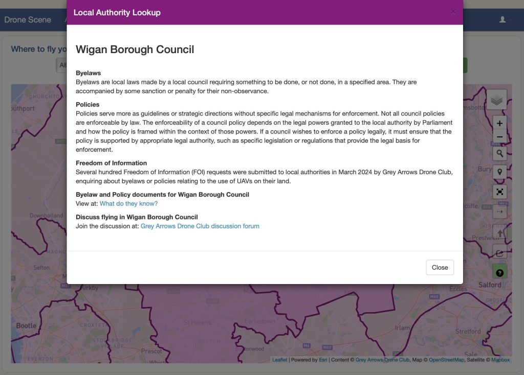
Based on the responses received, Grey Arrows Drone Club incorporated over four million data points defining the exact boundaries of each Local Authority into the Drone Scene platform. This high level of mapping detail enables members to find byelaw and policy information for each local authority with just a couple of clicks.

You can explore the Drone Scene map here and read more about CAA rules here.
Also see: Biggest drone show breaks world record [Video]
FTC: We use income earning auto affiliate links. More.


Comments