The National Oceanic and Atmospheric Administration (NOAA) and Verizon Frontline have signed a new three-year R&D agreement to find faster ways to use drones and share footage of damage caused by severe storms like tornadoes or hurricanes.
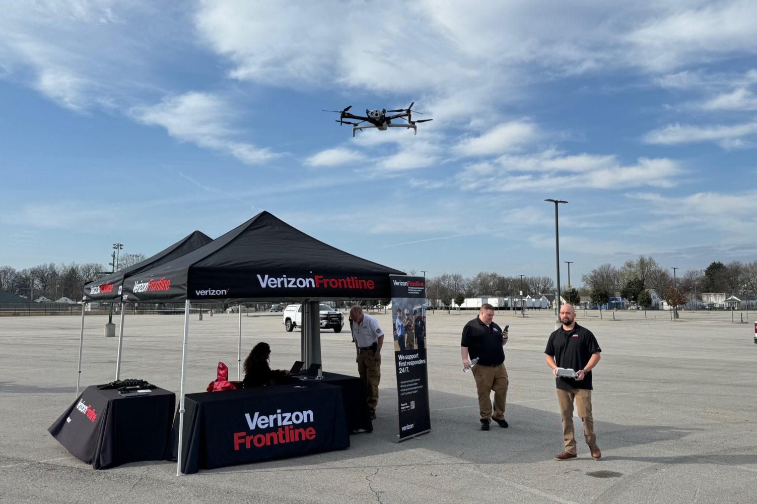
As part of this partnership, the Verizon Frontline Crisis Response Team will provide the drone platform, sensor, and personnel resources needed to rapidly respond and collect aerial imagery of storm-damaged areas of interest identified by NOAA.
The goal is to enhance the ability of NOAA’s National Weather Service offices to quickly conduct post-storm damage assessments, while also providing data for research conducted by the NOAA National Severe Storms Laboratory. The data should also help improve storm warnings.
“This partnership will help pioneer new strategies aimed at gathering and disseminating crucial imagery, leveraging our collective expertise to enhance response efforts to severe storms and mitigate their impact on communities across the US,” says Michael Adams, associate vice president for federal civilian services at Verizon.
Usually, after a storm, National Weather Service workers do surveys to see how much damage there is. They collect data to rate tornadoes, track where the storm went, and make better predictions for future storms. Drones help because they can get important information from areas that are hard for people to reach. In the past, NOAA used drones to check storm damage. This new partnership will add to what they already have and get more information faster.
“After a crisis, the first imagery that any emergency management agency or similar public safety agency gets is typically satellite data and the resolution isn’t ideal,” says Chris Sanders of the Verizon Frontline Crisis Response Team. “What we’re aiming to do through our partnership with NOAA is develop ways to get these agencies high-resolution imagery much faster than they can get it today by using our robust network and rapid-mapping capabilities.”
Read more: Drone Harmony update gives greater real-time control to DJI Dock users
FTC: We use income earning auto affiliate links. More.


Comments