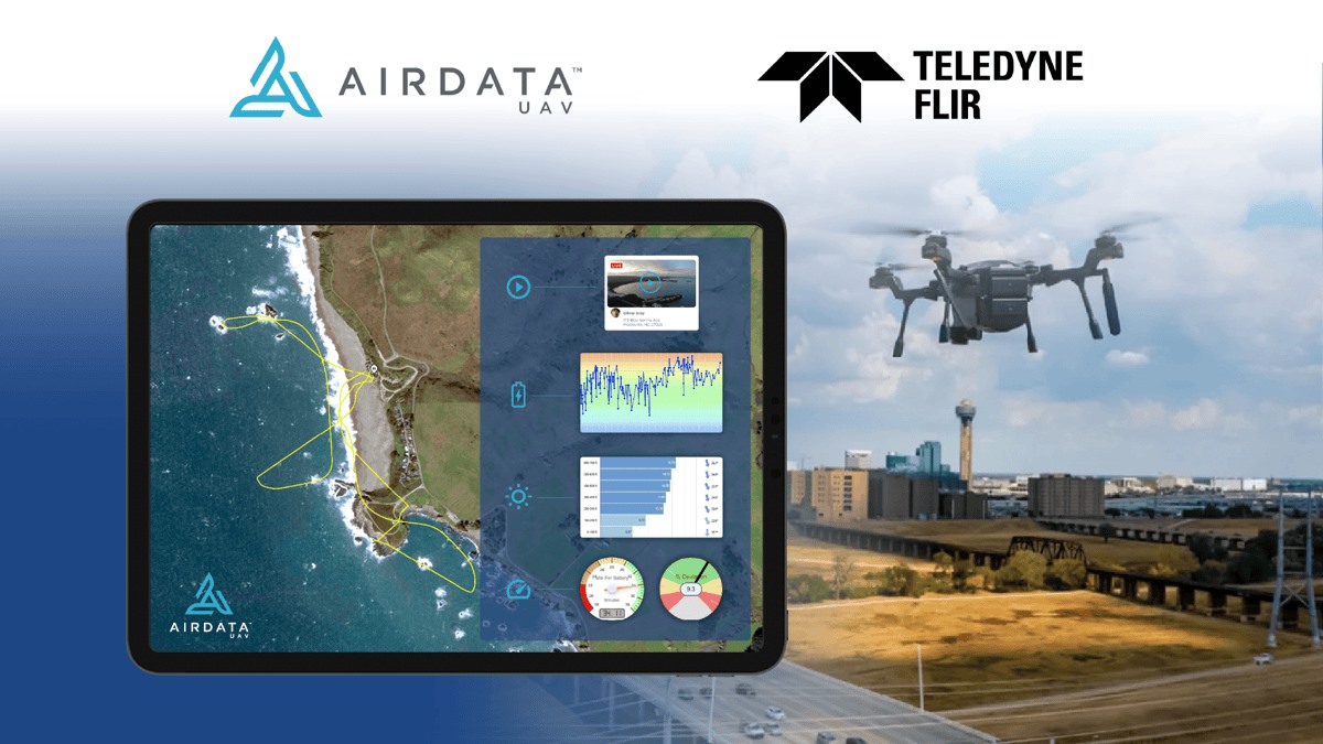
Drone fleet management platform AirData has announced integration with Teledyne FLIR’s dual payload professional aircraft SIRAS. The partnership aims to enhance public safety and industrial missions by streamlining data management and operational readiness for drone users.
Teledyne FLIR’s SIRAS drone is designed for rapid deployment in public safety, search and rescue, and industrial inspections. It stands out for its advanced thermal imaging capabilities and strong emphasis on data security. With its dual visible-thermal payload, the SIRAS delivers great detail and clarity during flights, making it an ideal tool for missions that require high-quality imaging. Additionally, the drone is equipped with hot-swappable batteries for continuous use in critical situations.
A key feature of the SIRAS is its geofence-free design, allowing it to operate in a wider range of areas without restrictions. This makes it ideal for emergency situations where time is critical. The drone also stores data securely on an onboard microSD card without relying on cloud storage, adding an extra layer of security for sensitive missions.
By integrating with AirData’s platform, SIRAS users can easily manage their flight data, track compliance, and enhance pilot training. The platform automatically syncs and processes flight logs, providing detailed telemetry readings and pilot information for better decision-making. This streamlined process makes it easier for public safety and industrial teams to track performance and maintain compliance.
Mike Walters, vice president of product management at Teledyne FLIR, emphasizes that this partnership allows users to “get more from their drone investment without sacrificing security.” AirData’s intuitive interface enables users to manage their entire fleet, track maintenance, and generate detailed operational reports, helping teams stay mission-ready.
Eran Steiner, founder and CEO of AirData, echoes this sentiment, saying that the integration helps provide users with “industry-leading data analysis and fleet management tools” that ensure quick and safe operations.
Read more: DJI makes RC-N3 compatible with Mini 4 Pro, Air 3 drones
FTC: We use income earning auto affiliate links. More.


Comments