Drone pilots flying the DJI Mini 4 Pro, Matrice 4 series, and Matrice 400 now have a faster way to turn aerial footage into detailed 3D models directly in the field.
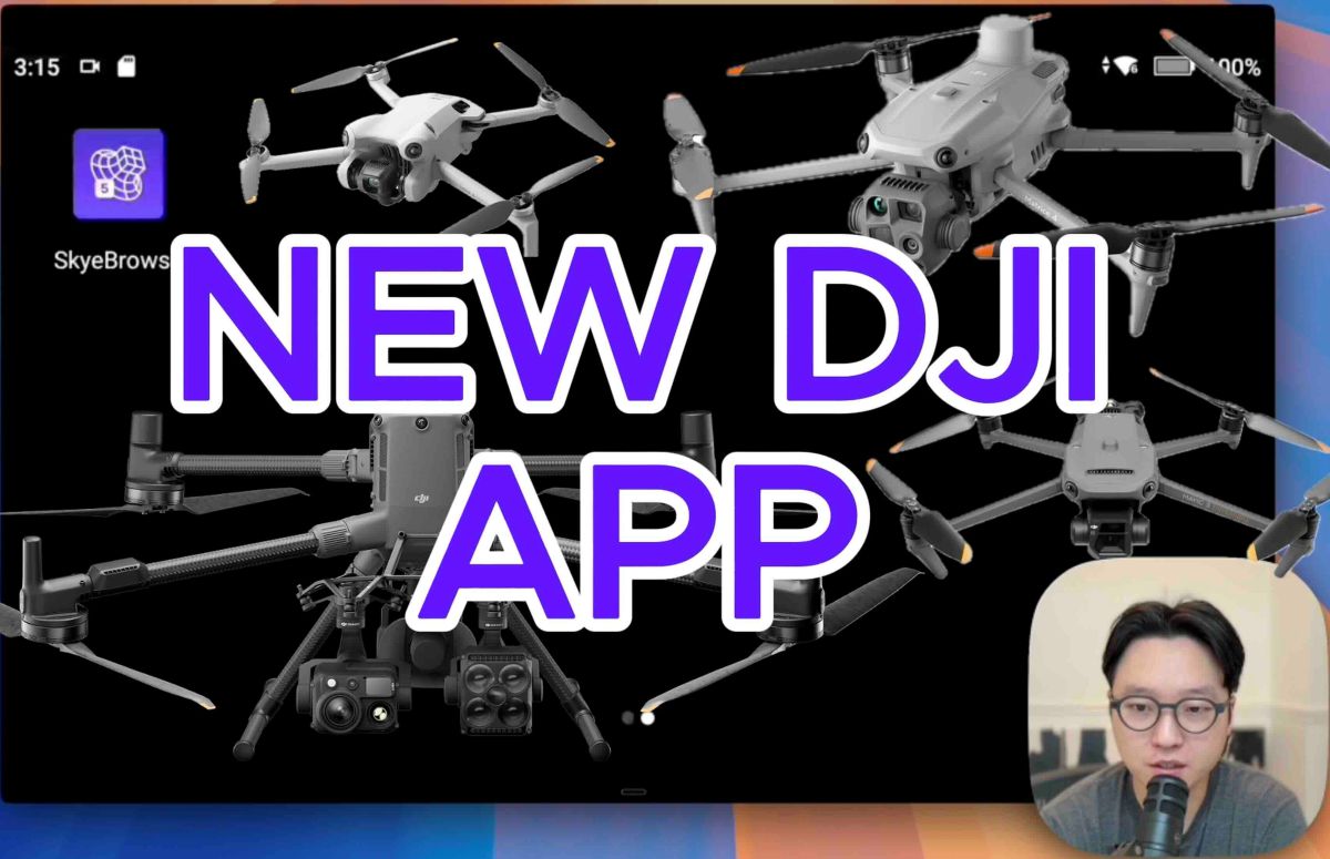
A major update to drone mapping platform SkyeBrowse has expanded compatibility with several newer DJI aircraft while improving the overall flight experience and mapping workflow. The release of a brand-new Flight App is one of the biggest updates yet for SkyeBrowse and focuses on a simple goal: making it even faster and easier for drone teams to capture 3D models in real-world operations.
More DJI drones can now run the workflow
The updated SkyeBrowse Flight App now supports:
- DJI Mini 4 Pro, a compact drone often used by teams that need quick deployment and mobility
- DJI Matrice 4E and Matrice 4T, enterprise platforms commonly used for inspections and public safety operations
- DJI Matrice 400, designed for larger and more demanding missions
By adding support for these aircraft, the app allows more drone teams to run the same fast 3D-mapping workflow regardless of which DJI drone they deploy.
This update also adds support for high-performance payloads, including the Zenmuse H30 series and L3 sensors. Meanwhile, support has also been improved for several existing DJI platforms already widely used across public safety and enterprise programs. These include the Mavic 3 Enterprise, Mavic 3 Thermal, Matrice 30, Matrice 300, and Matrice 350 drones, as well as the Zenmuse H30 series and L3 sensors. Even consumer drones like the Mini 3 and Mini 3 Pro remain part of the ecosystem.
Many organizations today operate mixed fleets of drones, switching between smaller aircraft for rapid response and larger drones for advanced sensing or longer missions. Expanding compatibility ensures the mapping workflow remains consistent across those platforms.
Smarter grid scanning for mapping missions
Another big change focuses on WideBrowse, SkyeBrowse’s grid-based scanning workflow used for creating 3D models and maps. The updated version introduces two new capture modes designed to collect more detailed data during flights.
The first is Cross Grids, which adds a perpendicular grid pass at the end of a mission. This extra sweep helps capture additional scene detail, particularly useful when mapping low-rise buildings or complex areas.
The second feature, Side Scan, adds a wide orbit pass around structures to capture vertical surfaces like building facades. This is especially helpful for structural documentation or detailed crime scene reconstruction.
In practical terms, these additions allow drone pilots to capture more complete models in a single flight.
The app now also displays a live estimated mission time and coverage area before launch, giving operators a clearer sense of how long the flight will take and whether the drone has enough battery to complete the job.
Another handy feature: Previous Flights, which lets users reload and re-fly past grid missions using identical settings. For teams monitoring construction progress or returning to an investigation site, that consistency can be critical.
New in-app AI assistant
SkyeBrowse has also rolled out several improvements to its web platform. These include Agent Luis, an AI-powered chat assistant embedded directly in the software, along with new tools like image overlays that let users pin reference photos onto 3D models.
The platform also now supports more upload formats — including multi-video files, GPS logs, Skydio CSV logs, and subtitle-based GPS data — making it easier to process drone footage captured in the field.
According to SkyeBrowse CEO Bobby Ouyang, the goal behind the update is simple: make advanced drone mapping easier for entire teams to use. “We hear the same thing from agencies over and over,” Ouyang says. “The technology is impressive, but getting the whole team to use it is the real challenge.”
With broader DJI drone support, smarter mission planning, and more automation, this latest update is clearly aimed at lowering that barrier.
More: Michigan Capitol deploys drone traffic platform to monitor skies
FTC: We use income earning auto affiliate links. More.


Comments