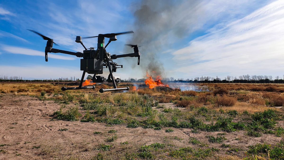
Public safety agencies across the United States have been rapidly expanding their drone programs in recent years… from police departments using drones to respond to emergency calls to firefighters deploying them for situational awareness during wildfires. Now, one of the world’s most widely used drone fleet management platforms is trying to make it easier for those programs to get off the ground.
AirData launches program aimed at public safety drone teams
AirData, a leading drone flight data and fleet management platform, has announced a new Public Safety Program designed specifically for law enforcement, fire departments, and emergency response teams worldwide.
The company says the initiative builds on its already massive footprint. AirData currently serves more than 444,000 pilots globally, with over 60 million drone flights uploaded to its platform. With the new program, the company aims to simplify how public safety agencies manage drones, document operations, and maintain regulatory compliance.
The move comes at a time when drone adoption among emergency responders is accelerating quickly. Across the US, thousands of agencies now operate drone programs, and Drone as First Responder (DFR) systems — where drones are dispatched to incidents before officers arrive — are becoming increasingly common.
Police and fire departments are using drones for everything from search-and-rescue operations and tactical response to fire scene assessment and patrol support. But managing those operations brings its own set of challenges, including aviation compliance, fleet maintenance, budget reporting, and public transparency.
AirData says its platform is built to handle all of that. Moreover, the new Public Safety Program builds on technology already used by several high-profile agencies.
For example, the Chula Vista Police Department in California, which launched the first Drone as First Responder program in the United States, uses AirData’s Public Portal to allow residents to search and review drone flight records. Other agencies using the platform include the Sacramento Police Department, Huntsville Police Department, Las Vegas Metropolitan Police Department, and the Ohio Department of Transportation.
According to Steven Oscar, program manager at the Las Vegas Metropolitan Police Department, AirData’s transparency tools have helped bridge the gap between new technology and public trust. “Implementing AirData’s Public Portal into our UAS program has revolutionized the way we share our drone operations with the community,” Oscar says. “It’s transparent, user-friendly, and helps build trust.”
New: This pocket device lets police identify drones in seconds
Built for the realities of drone operations
One of the key features of the new program is a guided onboarding system designed to get agencies up and running quickly. Instead of lengthy setup processes, program managers can configure their accounts in a single session by selecting the number of pilots, drones, and additional features they need — such as live streaming or asset management. Departments can immediately launch a full enterprise account or start with a free trial.
AirData’s platform automatically records operational details for every drone flight, including flight paths, timestamps, pilot information, battery cycles, and mission logs. The company says this data collection happens automatically, without requiring pilots to change the apps or hardware they already use.
The system supports 178 drone models and flight applications, including native flight apps from major drone manufacturers.
For agencies focused on compliance, the platform can generate customizable reports within seconds, track waiver approvals and aircraft registrations, and maintain a tamper-resistant audit trail. These features can help departments document compliance with aviation rules such as FAA Part 107 and other regulatory frameworks worldwide.
Real-time visibility and community transparency
For live operations, AirData also offers low-latency live streaming, allowing command staff or partner agencies to watch drone feeds from phones, tablets, or smart controllers without additional hardware.
Multiple feeds can be monitored simultaneously through a multiview interface, and agencies can easily share access with neighboring departments during joint operations by simply scanning a QR code.
Meanwhile, the platform’s Public Portal provides a searchable record of drone flights that residents can access online. Agencies can customize how much data is shared and apply delay windows to protect operational security. Explore more about the program here.
With drone use expanding rapidly across public safety agencies, tools that help manage operations, compliance, and public transparency are becoming increasingly important. AirData’s new program aims to bring those capabilities together into a single platform, helping agencies launch or scale drone programs without adding administrative complexity. And with deployments already spanning 60 regions worldwide, the company clearly sees public safety as a major growth area for the drone industry.
More: DJI fixes ROMO security bug that exposed thousands of homes
FTC: We use income earning auto affiliate links. More.


Comments