
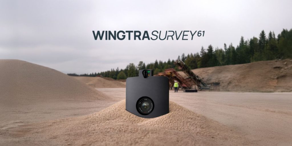
Wingtra is stepping into 2026 with a clear message for the surveying world: the future of mapping might not need ground control points at all. The Switzerland-based drone company recently launched the SURVEY61 payload, designed to work with the WingtraRAY drone. And the pitch is hard to ignore — survey-grade accuracy down to 3 cm (0.1 ft), without the traditional need for GCPs (ground control points). For an industry where time, labor, and safety risks are tightly intertwined, that’s a potentially big shift.
At its core, SURVEY61 is built for earthworks teams and topographical surveyors who need fast, repeatable data across large sites. Flying at 400 feet (120 m), the payload captures ultra-high-resolution imagery at under 0.5 inches per pixel, allowing teams to map hundreds of acres in a fraction of the time it would typically take. But the bigger story here isn’t just speed; it’s workflow.
A real push toward GCP-free drone surveying
Traditionally, setting up GCPs has been one of the most time-consuming — and sometimes hazardous — parts of a survey job. Crews often need to physically access difficult or active sites, placing markers that ensure accuracy later during processing.
Wingtra’s SURVEY61 aims to eliminate much of that burden. The company says its integrated toolchain, paired with a PPK (post-processed kinematic) workflow, allows teams to capture accurate data with minimal or no ground control. That means fewer people in the field, less time spent on setup, and faster turnaround on deliverables.
Julian Surber, senior product manager at Wingtra, calls this a “new chapter” for the industry. The idea isn’t just about saving time — it’s about making high-frequency surveys more practical. When teams can revisit sites more often, they gain better visibility into progress, especially for volumetric tracking and earthmoving operations.
Faster surveys, lower costs, fewer disputes
Wingtra claims the impact is significant. For a 50-acre site, fieldwork time can drop from around four hours to just 40 minutes — roughly six times faster than traditional quadcopter workflows.
That efficiency comes from multiple angles. There’s less time spent placing GCPs, quicker drone setup, and a streamlined field-to-office pipeline that geotags and processes data with minimal manual input.
Over time, this also improves consistency. The company says repeat volumetric surveys using SURVEY61 can reduce discrepancies by up to 70%, helping teams move the right amount of material at the right time, and potentially avoid costly contract disputes.
And because the system is designed to be easy to adopt, even teams without deep surveying expertise can scale operations across larger crews.
Beyond performance, Wingtra is also leaning into regulatory readiness, a growing concern for US operators. The WingtraRAY platform stands out with FAA clearance for operations over people, enabled by a built-in parachute system that meets Category 3 requirements. That opens access to a much wider range of projects — from highways to urban infrastructure — without the need for waivers.
Add in collision avoidance capabilities and Blue-list eligibility for federally funded work, and the platform positions itself as a future-proof option for companies navigating tightening regulations. In practical terms, that could mean more projects, fewer delays, and a stronger competitive edge.
The proof behind the claims
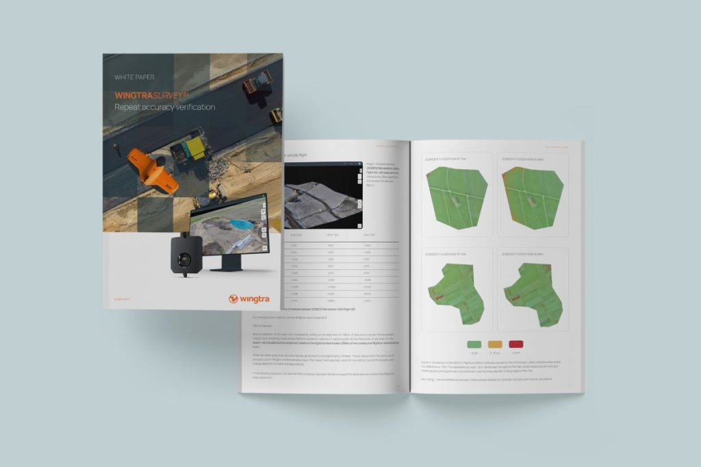
Of course, bold claims around GCP-free accuracy need solid backing, and that’s where Wingtra’s newly released white paper comes in. The study evaluates SURVEY61 performance across 102 flights conducted at five different sites, using multiple drones and payload units. The results: consistent sub-3 cm accuracy verified through checkpoints, with 95% of flights staying within that threshold.
What’s particularly notable is how broadly the system was tested. Flights were carried out under varying conditions, altitudes, and winter weather, all using largely out-of-the-box settings. The data was also processed across multiple platforms — including Propeller, PIX4Dmatic, Agisoft, and Trimble TBC — and still delivered consistent results.
For surveyors, that kind of repeatability is key. It suggests the accuracy isn’t tied to a specific workflow or software environment; it’s built into the data itself.
The white paper also goes a step further, outlining best practices for teams looking to replicate these results. From GNSS baseline considerations to balancing checkpoints and GCPs, it offers practical guidance grounded in real-world testing. You can check out Wingtra’s full white paper here. It includes detailed datasets, site breakdowns, and processing comparisons that go far beyond headline numbers.
More: Warehouse drones are quietly transforming alcohol distribution across America
FTC: We use income earning auto affiliate links. More.


Comments