Drone survey without GCPs? Wingtra claims sub-3 cm accuracy
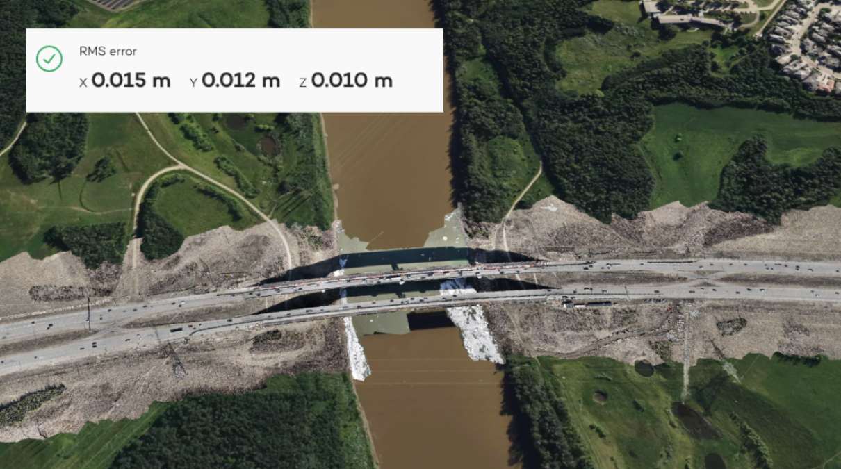
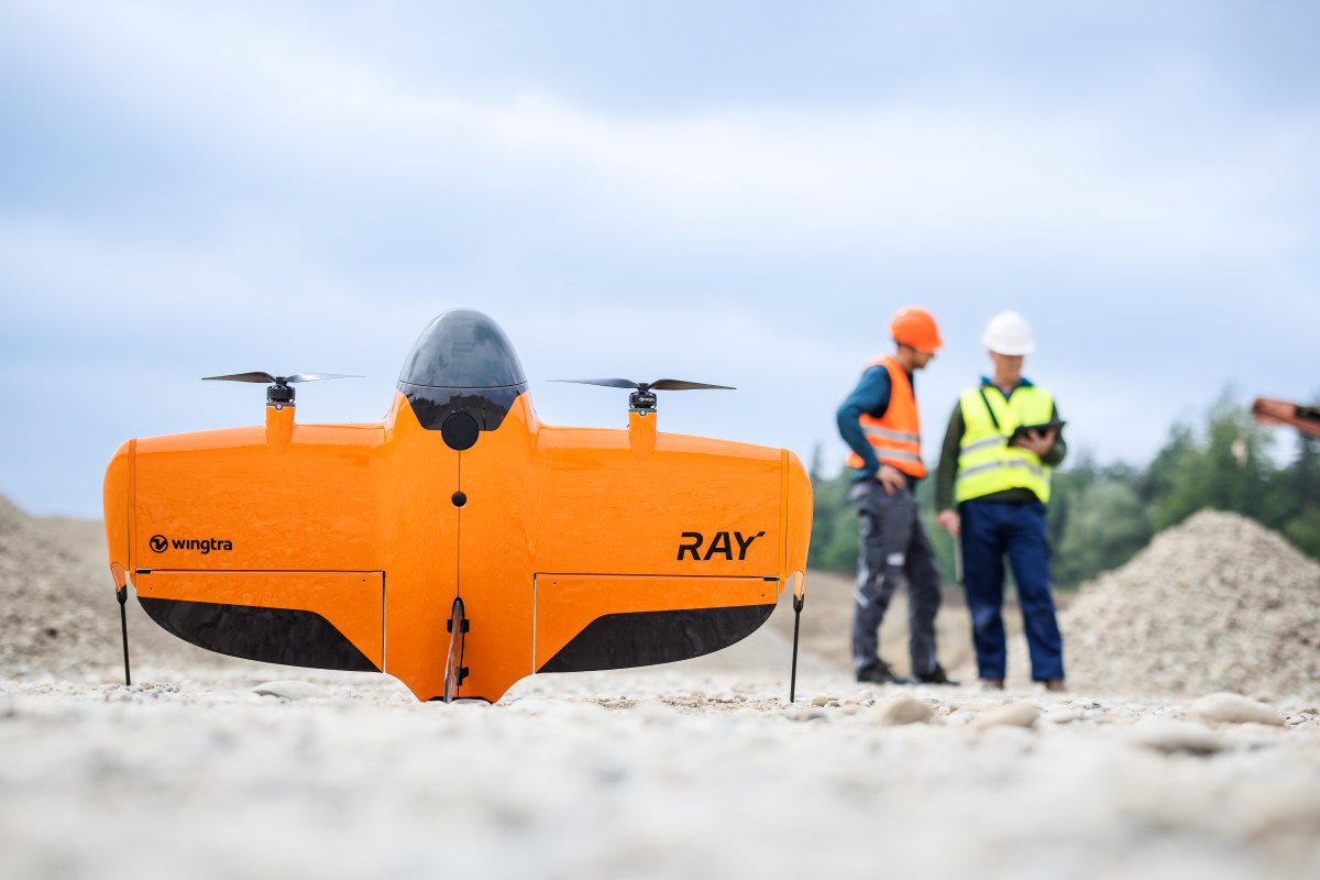
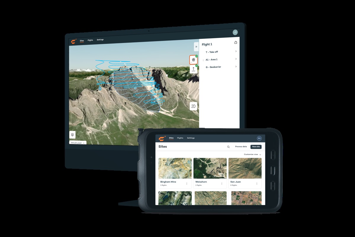
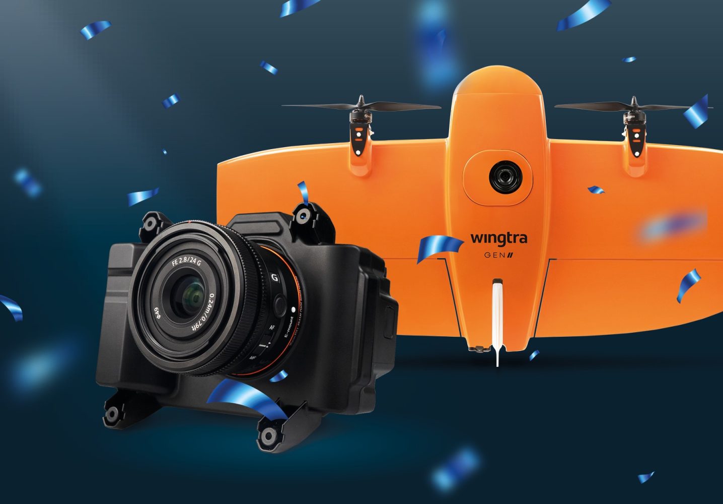
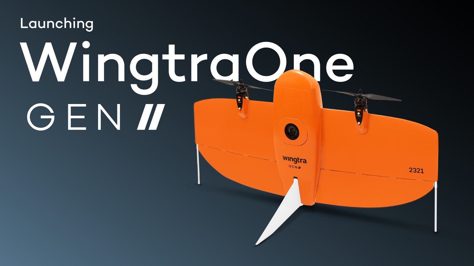
Wingtra is stepping into 2026 with a clear message for the surveying world: the future of mapping might not need ground control points at all. The Switzerland-based drone company recently launched the SURVEY61 payload, designed to work with the WingtraRAY drone. And the pitch is hard to ignore — survey-grade accuracy down to 3 cm (0.1 ft), without the traditional need for GCPs (ground control points). For an industry where time, labor, and safety risks are tightly intertwined, that’s a potentially big shift.
Expand Expanding Close