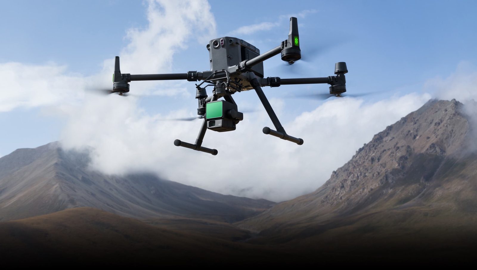
DJI Modify’s new update unlocks advanced 3D model editing

Tech giant DJI has just dropped a major update for Modify, the company’s AI-powered 3D modeling and point cloud editing software. Designed for professionals in surveying, mapping, and construction, Modify helps users clean, classify, and refine 3D models with ease. With the release of version 1.3.0, DJI has packed in new automation features, smarter selection tools, and better visualization options — making it easier than ever to transform raw point cloud data into polished 3D models.
Expand Expanding Close