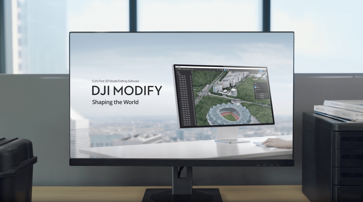
Terra, the all-in-one drone mapping solution from DJI, has been updated again to enhance both the product features and the data processing speed. While LiDAR point cloud reconstruction missions will benefit the most from version 4.0.0 of the software, Terra now supports the newly-released DJI Modify 3D model editing tool as well.
Here’s everything you need to know about DJI Terra’s latest firmware update…
What’s new in DJI Terra
- Supports generating contour lines for LiDAR point cloud reconstruction mission.
- Supports Measurement and Gridlines for the Profile function of LiDAR point cloud reconstruction mission.
- Supports adjusting Point Cloud Effective Distance Range for LiDAR point cloud reconstruction mission.
- Supports adding and deleting waypoints for Fruit Tree scenario in visible light reconstruction mission.
- Supports uploading 2D reconstruction output to DJI Agras Management Platform or export to DJI Agras app for Fruit Tree scenario in visible light reconstruction mission.
- Supports enabling work with DJI Modify for 3D reconstruction in visible light reconstruction mission.
- Supports selecting whether to generate tie points in aerotriangulation XML output in visible light reconstruction mission.
Also read: Japan’s SOTEN drone — ‘affordable’, NDAA-compliant DJI rival — now shipping in US
What’s updated in drone mapping software
- Optimizes the memory occupation for LiDAR point cloud reconstruction missions. Now, 64 GB available memory can process data collected by 15 drone flights. If the original file is about 120 GB and the original point cloud size is about 60 GB, the point cloud reconstruction efficiency can be improved by about three times compared with v3.9.4.
- Optimizes the noise reduction effects in LiDAR point cloud reconstruction mission, which reduces aggregated noises that occasionally exist in reconstruction output under complex scenarios.
What the firmware fixes
- Fixes an occasional issue where users cannot enter the Profile function when scaling point cloud model on v3.8.0
- Fixes the issue where the log file size is too big when performing LiDAR reconstruction on v3.9.4.
- Fixes the low reconstruction efficiency issue when enabling multiple worker devices on the same computer for cluster computation in visible light reconstruction mission on v3.9.0.
Do note that for DJI Terra v3.8 and later versions, when using the free trial license from the official website and performing charged functions in LiDAR point cloud reconstruction, the maximum imported files cannot exceed 8 GB. And for v3.9 and later, users must use computer device with NVIDIA graphics card to obtain the license.
Meanwhile, for DJI Terra v4.0.0 and later, it is recommended to use NVIDIA graphics cards (4 GB memory) with a computing power of 6.1 or above. Also, once you update to the latest version, know that the online license can no longer be used after Terra is offline for 3 days.
Read more: DJI updates Fly app to help you operate your drone better
FTC: We use income earning auto affiliate links. More.


Comments